Browse categories
Log in
Sign up
44
Free Download
Web 800x533px
28.22cm x 18.8cm@72dpi
HQ 3888x2592px
32.92cm x 21.95cm@300dpi
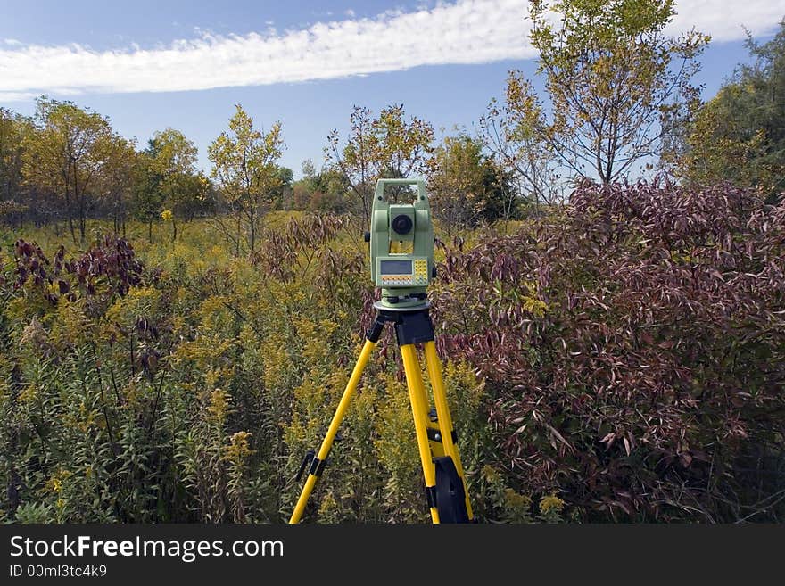
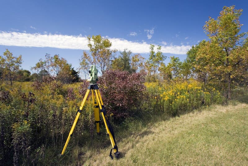
Land Surveying With Total Station Photo
Benkrut
481 photos
Dreamstime profile
X
Facebook
Pinterest
Email
© Benkrut |
Stock Free Images
Pro Stock Photos From Dreamstime
Land Surveying
Land Surveying
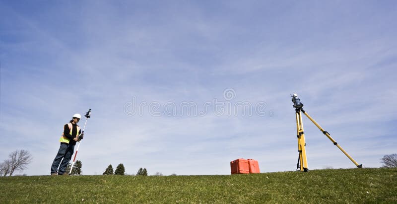
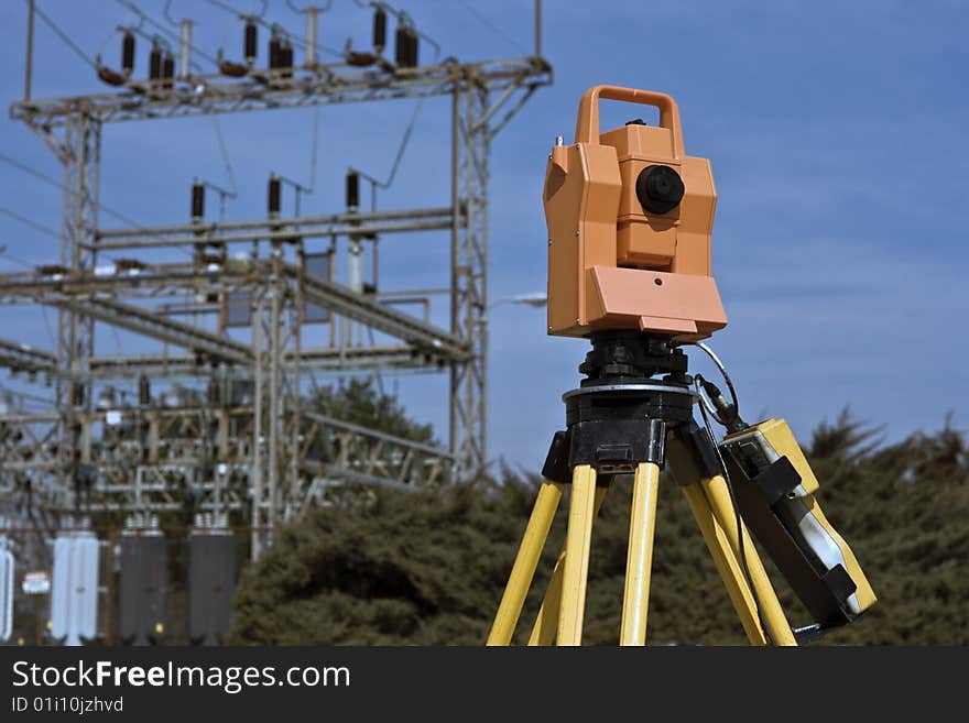
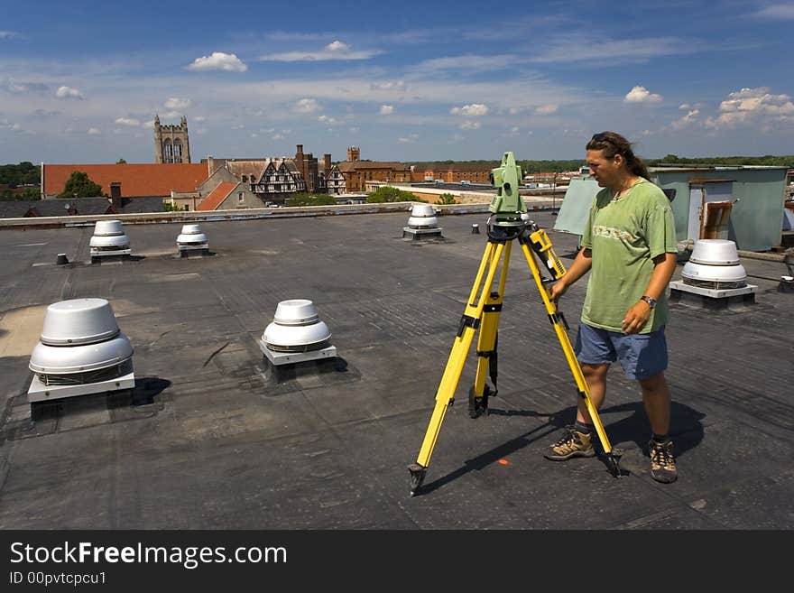
Land Surveyor in the field
Land Surveying Under Blue Sky
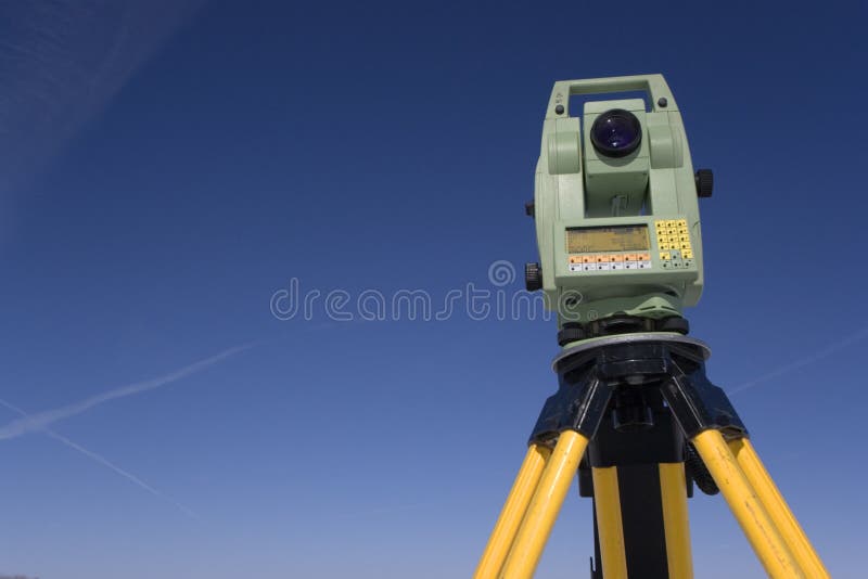
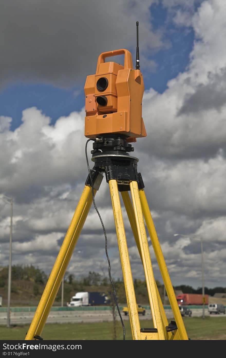
Measuring with theodolite
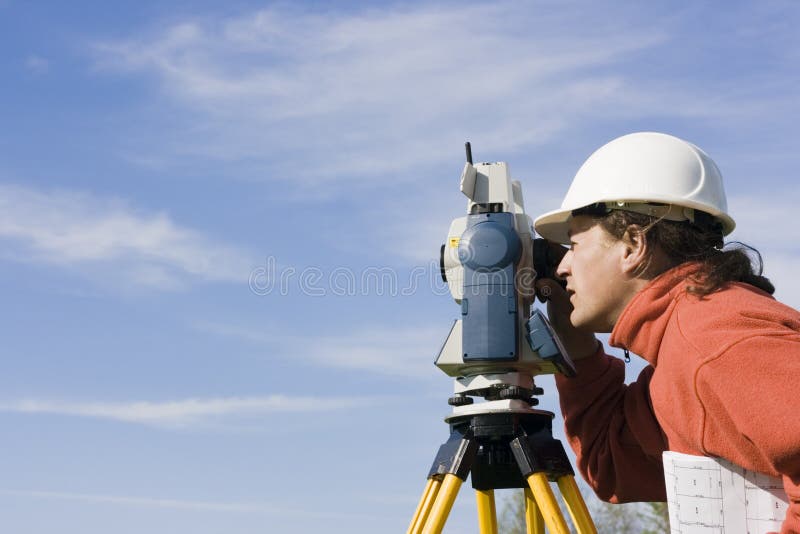
Behind Theodolite
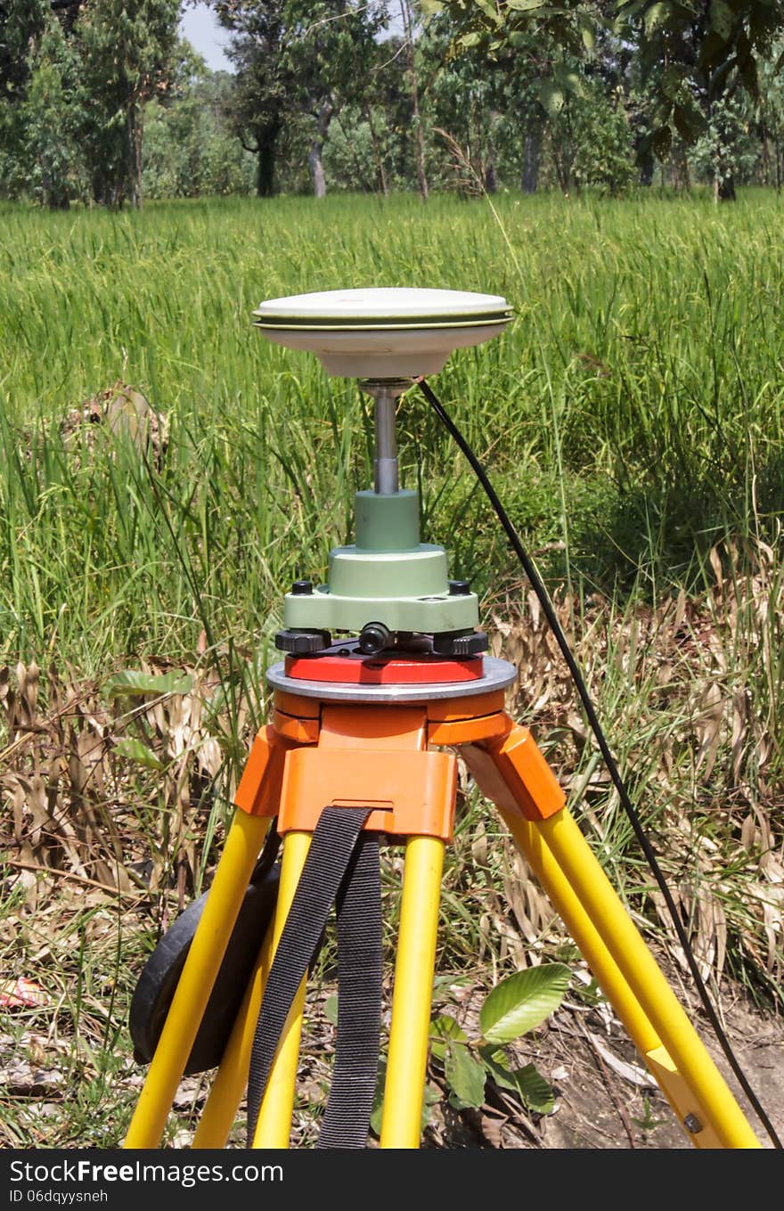
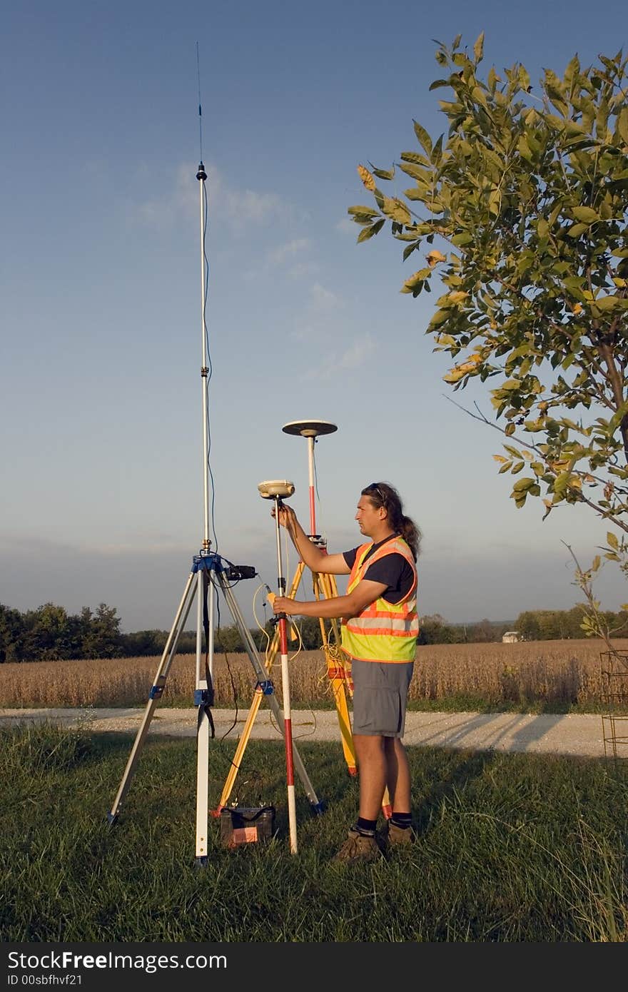
GPS survey
Land Surveying
Land Surveying
Land Surveying
Similar Free Images
Surveying under electric wires
Surveying highway
GPS surveying
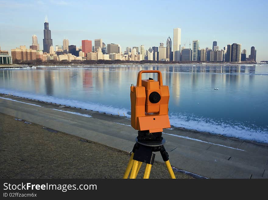
Surveying in Chicago
Surveying during spring time
Surveying during spring time
Surveying the Area
Damaged agricultural land
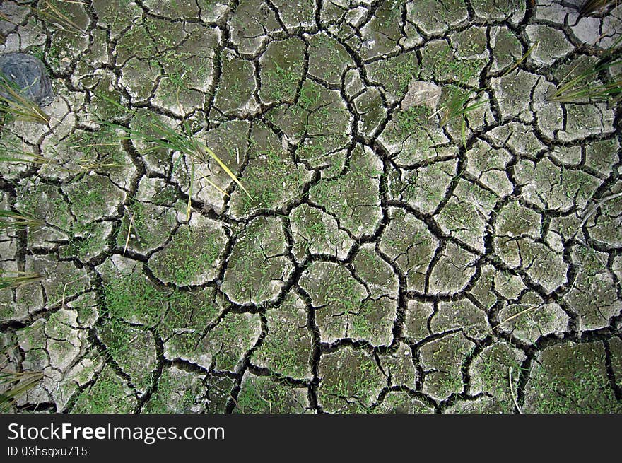
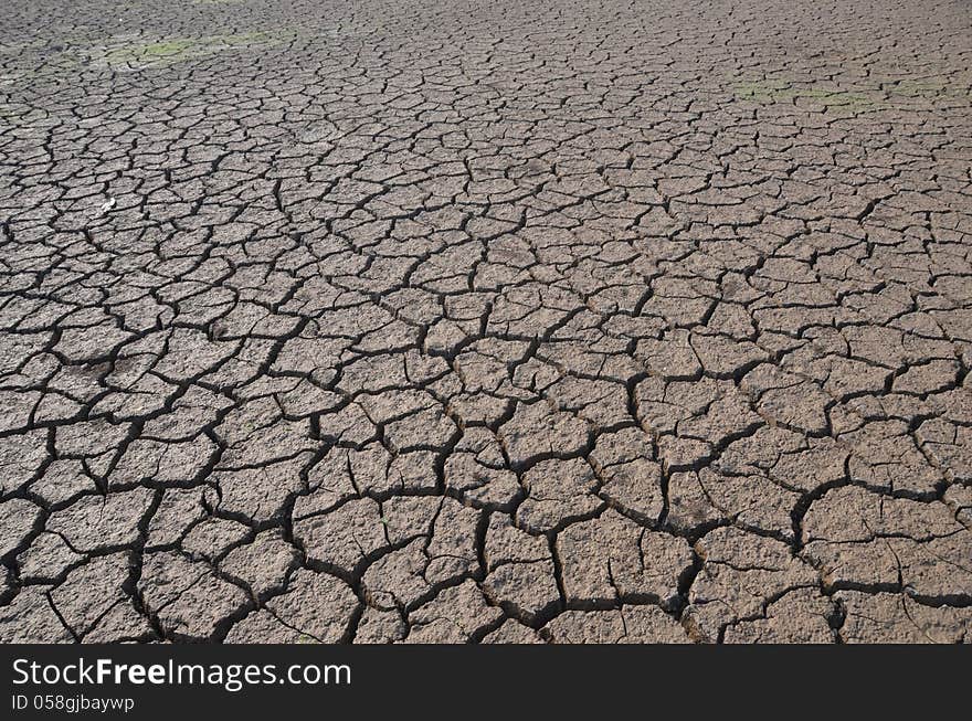
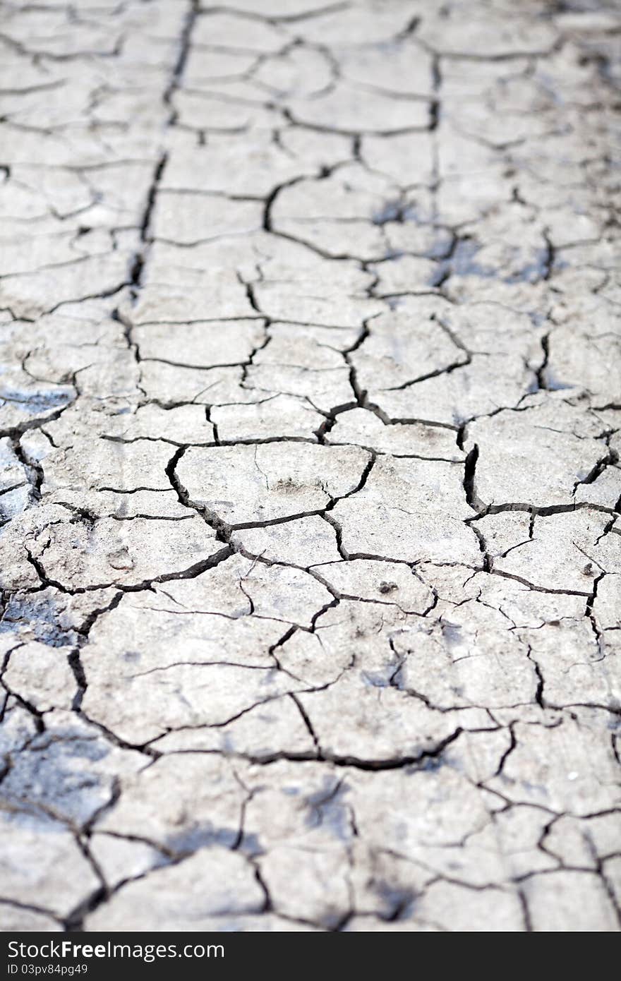
Dry land
Dry land
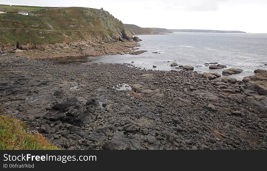
View from Cape Cornwall headland England UK to Land s End
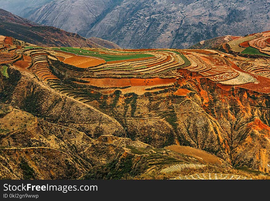
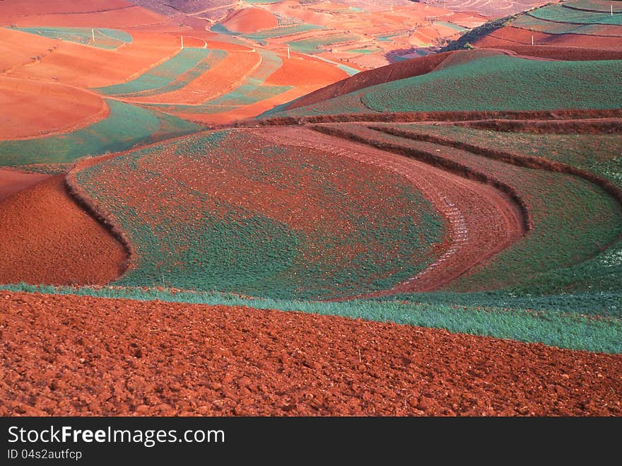
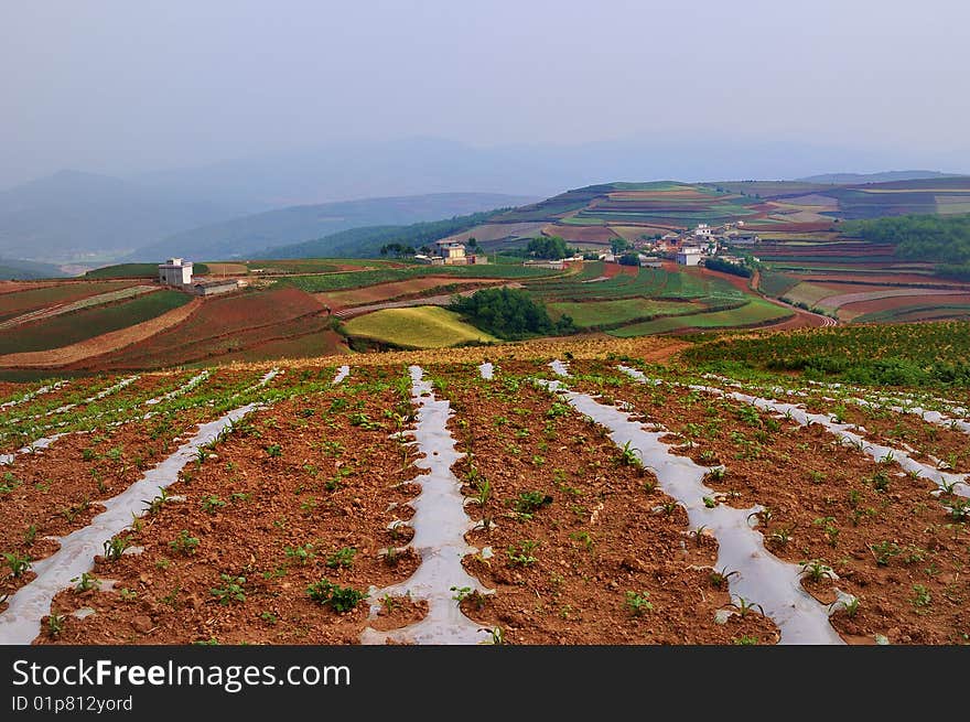
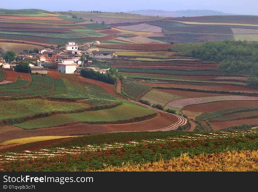
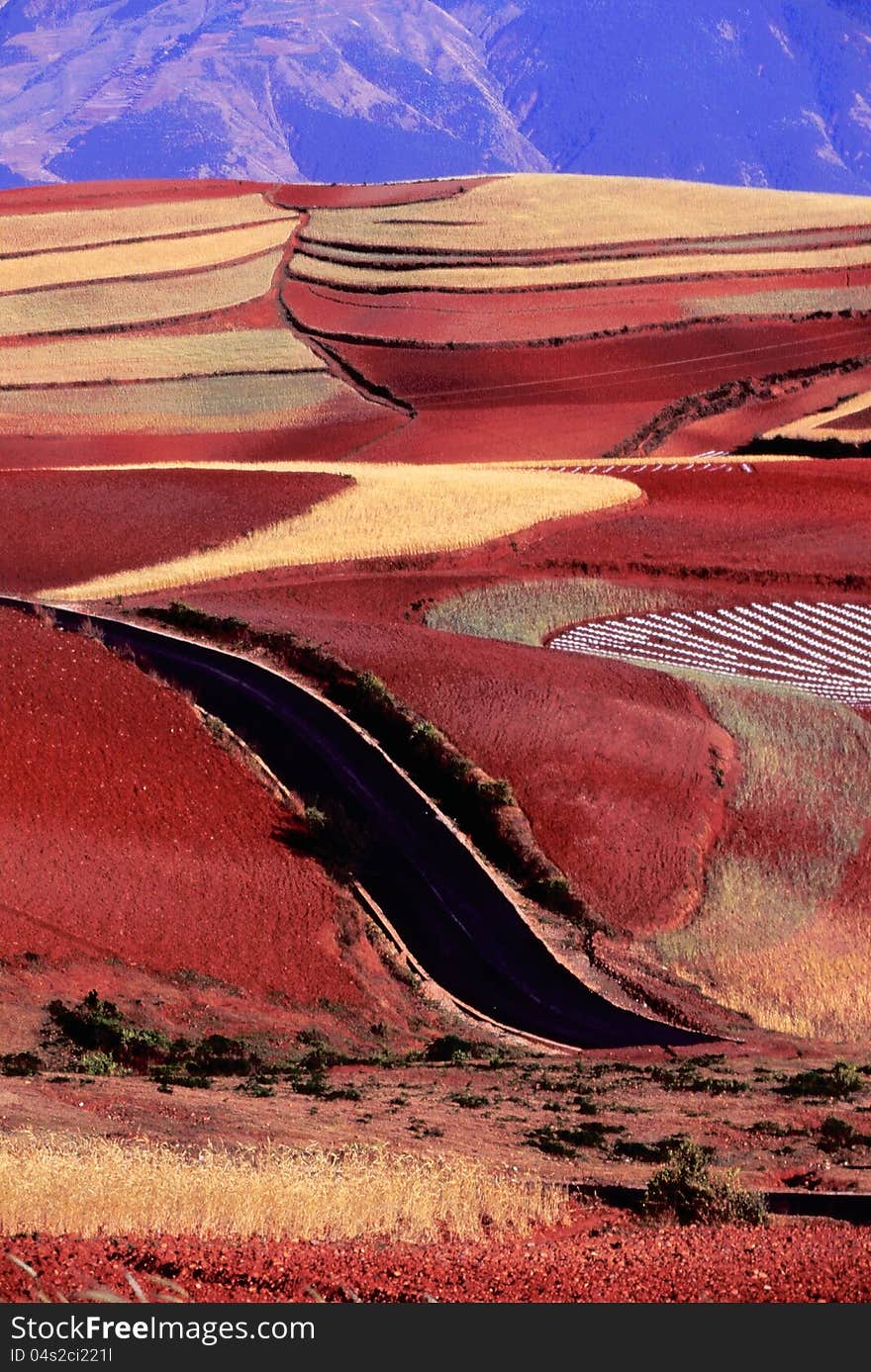
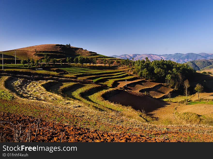
Dongchuan red land in Yunnan
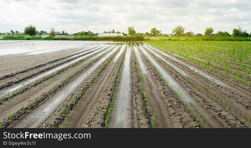
Agricultural land affected by flooding. Flooded field. The consequences of rain. Agriculture and farming. Natural disaster and
High Angle View Of Small Plant Growing On Land
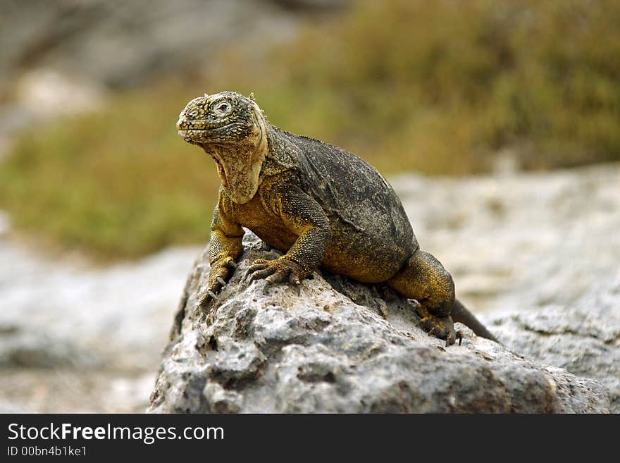
Land Iguana
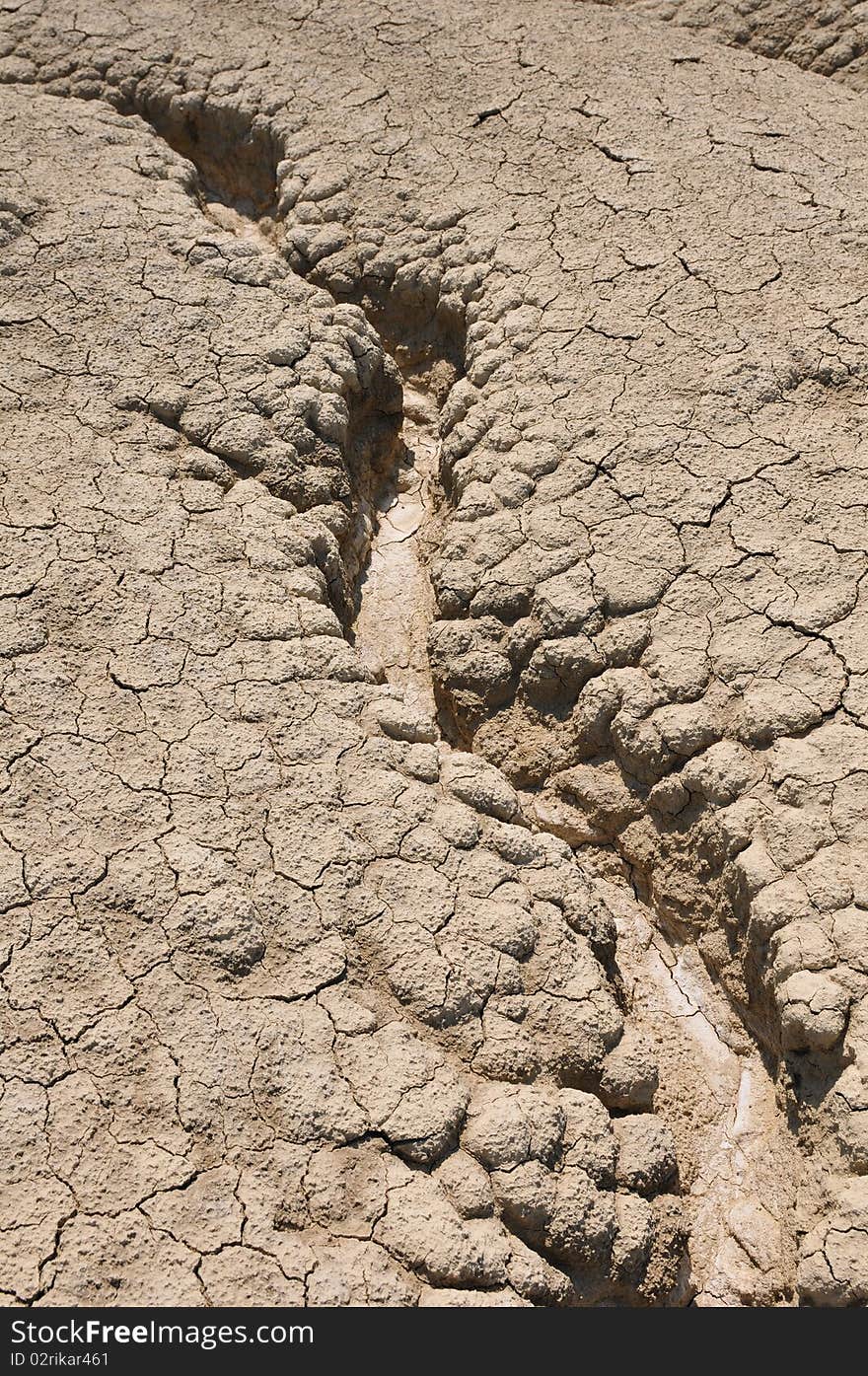
Close up on dry land
Dry land
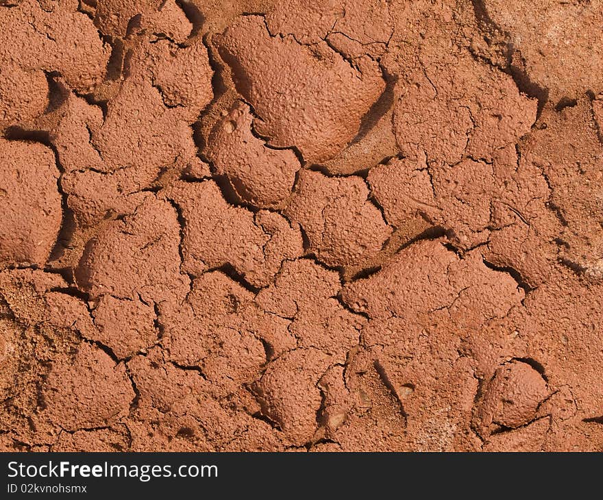
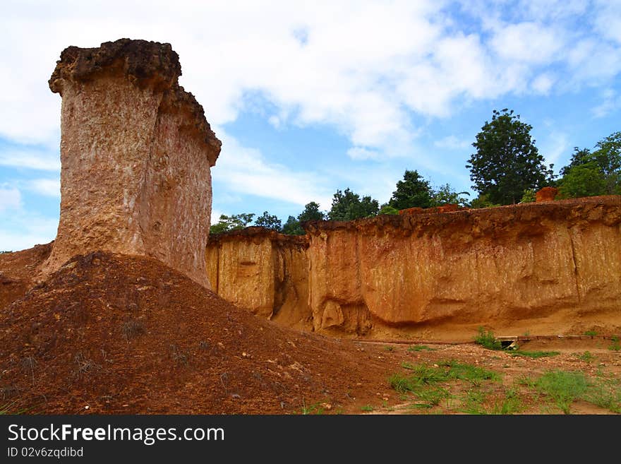
Red Land
Red Land
Land
Red land
Red Land
Dry land
Dry land
Red land
Land
Dry land
Red land
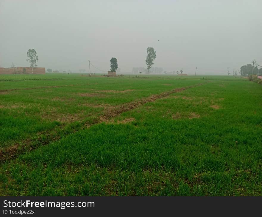
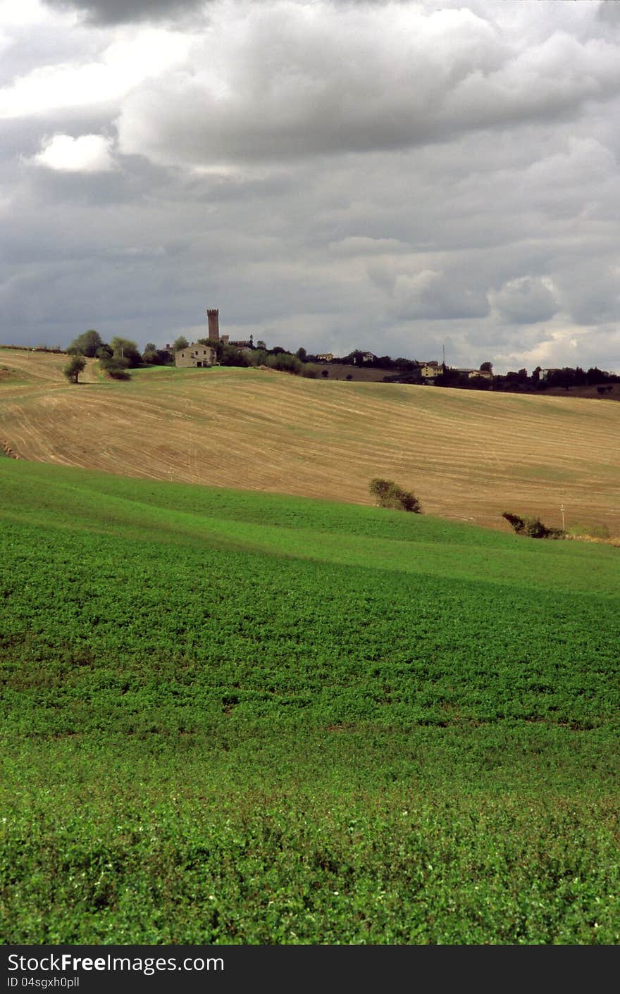
Morning view of agriculture land
Dry Land
Dry land
Arid land
Red land
Paddy land
dry land
Land
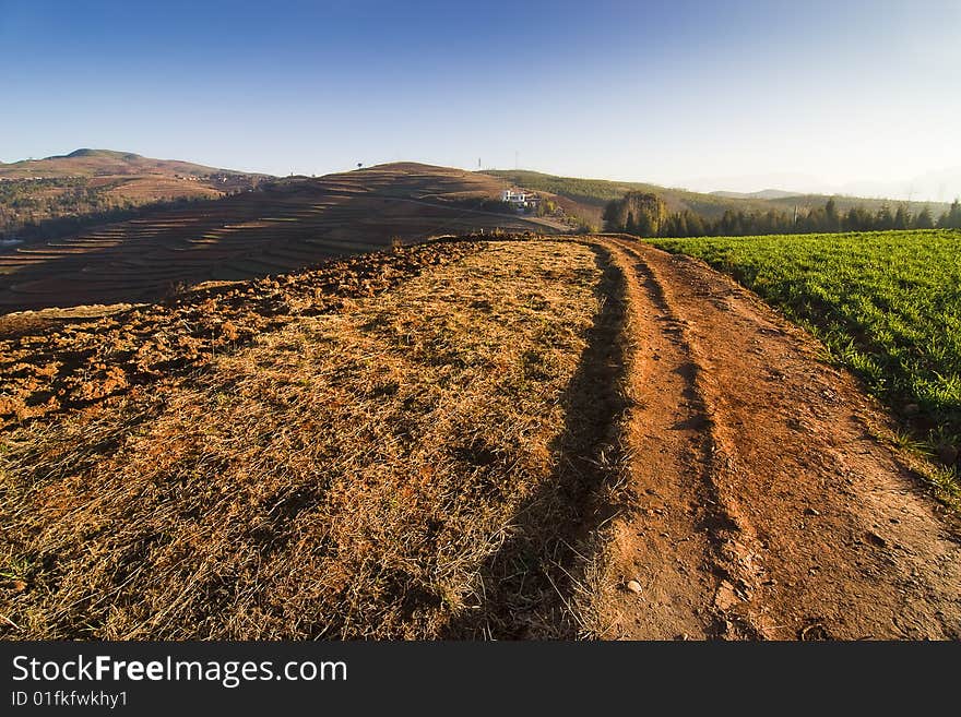
Red Land
Antenna less land
Red land
Land View
Red land
Cultivated Land
Dry land
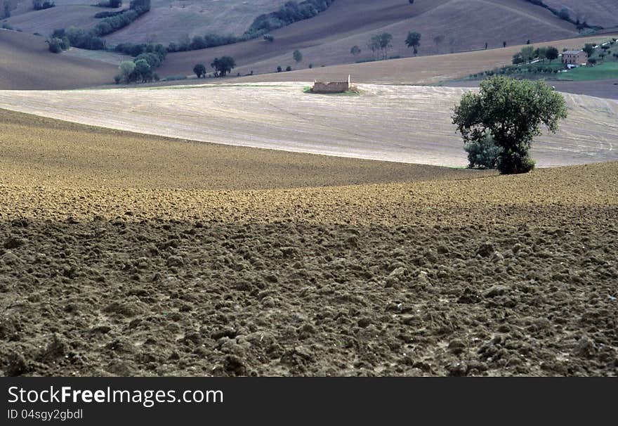
Agricultural land
Agricultural land
Land
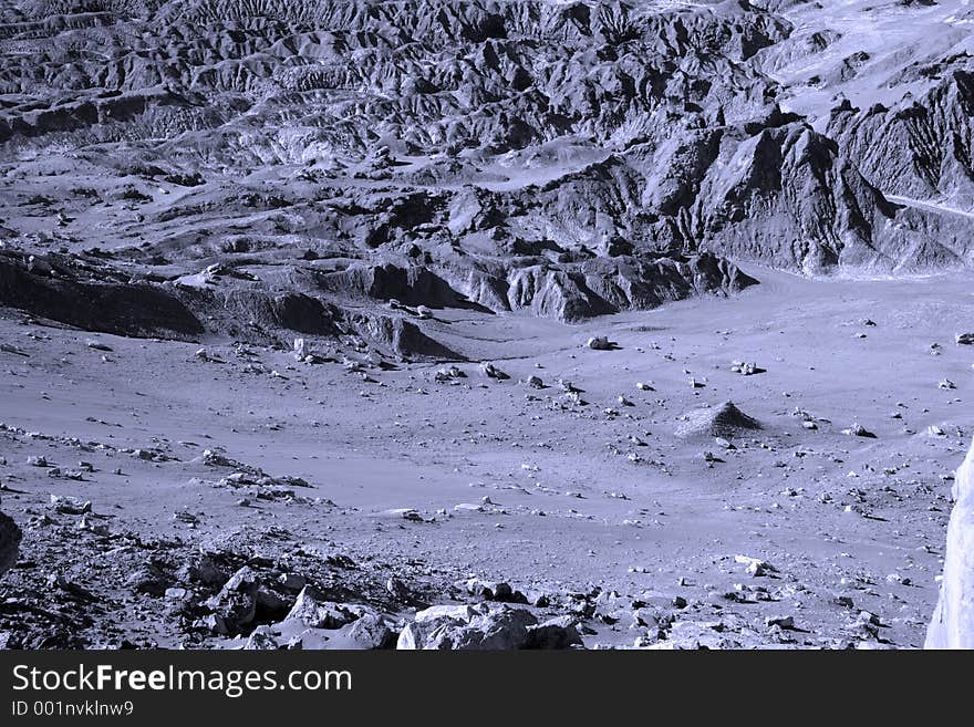
Moon land
Drought upon the land
accuracy
azimuth
cartographer
cartography
construction
engineer
engineering
equipment
field
geodesy
global
instrument
land
manual
map
measurement
measuring
outdoors
positioning
prism
surveying
surveyor
system
target
technology
theodolite
topography
tripod
worker
working
Categories:
Abstract
Exploration
Industries
Construction
Technology
Electronics
Home
Abstract
Land Surveying