You can use this free image under the Creative Commons Zero (CC0) public domain license. Support our free section by adding a credit line next to the photo in your design. A suggestion is provided under the title.
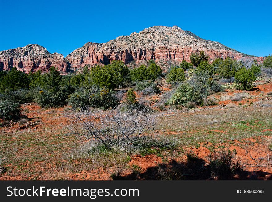
Jacks Canyon Trail No. 55 - Jacks Canyon Trail Leads Up The Bottom Of A Rocky Desert Gorge Where The Vegetation Is Mostly High Chaparral. The Trail Starts By Skirting The Boundary Of An Outlying Subdivision, And Passes Through The Effects Of The 800 Acre La Barranca Fire. It Then Follows An Old Jeep Trail To Jacks Canyon Tank Where It Drops Into The Drainage Bottom And Proceeds Along Its Moderate Climb By Crisscrossing The Dry Streambed. At The Upper End Of The Canyon, The Trail Leaves The Streambed To Switchback To A High Saddle Connecting The Mogollon Rim And Munds Mountain. Photo By Deborah Lee Soltesz, March 14, 2012. Credit: USFS Coconino National Forest. Learn More About Hiking Jacks Canyon Trail In The Red Rock Ranger District Of The Coconino National Forest Website. Photo
© publicdomainstockphotos | Stock Free Images
Similar Free Images


