You can use this free image under the Creative Commons Zero (CC0) public domain license. Support our free section by adding a credit line next to the photo in your design. A suggestion is provided under the title.
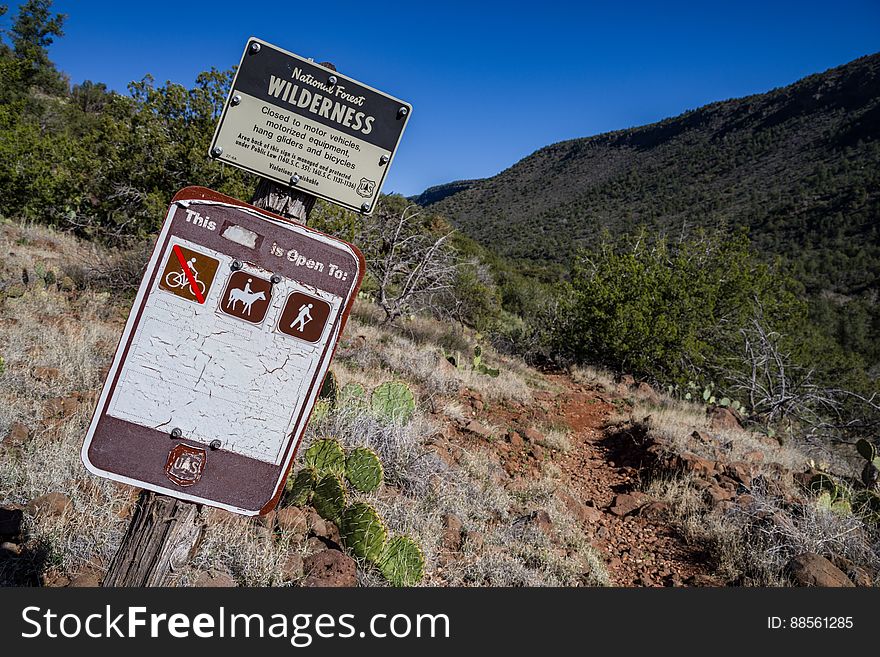
Snowmelt From A Series Winter Storms In Late January 2017 Followed By Rain And Warm Weather In February Had Dry Creekbeds Running And Many Of Arizona's Reservoirs Filled And Overflowing. Dry Beaver Creek In Woods Canyon Was No Exception. Woods Canyon Trail Is Level And Unshaded As It Follows A Jeep Road Into The Wide Canyon Mouth For 1.25 Miles. The Road Ends And The Trail Continues, Climbing Gradually. There Are Views Of The Vegetation-covered Slopes Of Mesas On Either Side. The Trail Enters Munds Mountain Wilderness Continuing Its Easy Climb. The Trail Approaches And Then Follows Dry Beaver Creek. At The Confluence With Rattlesnake Canyon, The Trail Emerges Onto A Picturesque Expanse Of Redrock Studded With Huge, Gray Boulders. Further Down Some Nice Redrock Views As The Trail Climbs On A Moderate Grade Out Of The Creekbed. Photo By Deborah Lee Soltesz, February 15, 2017. Credit: Coconino National Forest, U.S. Forest Service. Learn More About Woods Canyon Trail No. 93 On The Coconino National Forest. Photo
© publicdomainstockphotos | Stock Free Images
Pro Stock Photos From Dreamstime

