You can use this free image under the Creative Commons Zero (CC0) public domain license. Support our free section by adding a credit line next to the photo in your design. A suggestion is provided under the title.
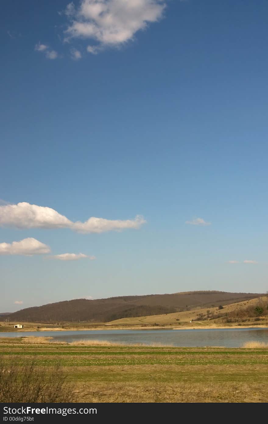
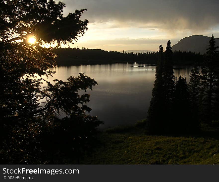
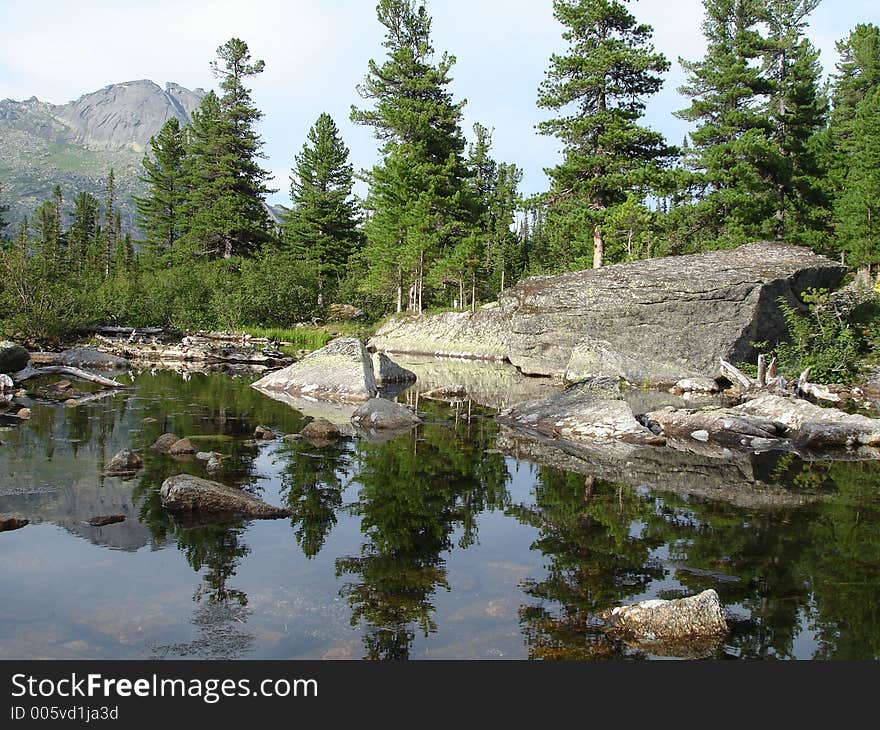
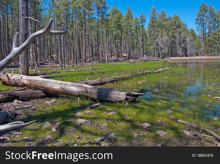
Lost Lake Tank. 2009-05-07: On The Fifth Day Of Our Camping Trip On The Mogollon Rim We Were Still Looking To Beat The Heat By Staying Above The Rim. I’d Noticed A Route Marked As A Trail On My GPS (the Base Map On My Garmin Oregon 400T) Leading To A Spot Marked Lost Lake. We Headed For Trail, Turning Off Of The Main Road Onto A Jeep Track. The Route Quickly Got Rocky, And We Assumed It Was Petering Out, So We Parked And Started Hiking. Within A Couple Hundred Feet, The Route Turned Back Into A Smooth, Dirt, Two-track Road… Basically, Quite Driveable. We Hiked It Anyway. There Was A Tree Blocking The Road About Halfway To Lost Lake, But Aside From That The Route Is A Well Maintained Route, With A Couple Side-roads Heading Off Of It. The Road Gently Ascends To The Top Of A Hill, Where Lost Lake Is Actually A Pair Of Tanks. The Upper Tank Is Quite Large, And Both Had Water In Them. There Were A Few Wildflowers, And Butterflies And Western Tanagers Were Flitting About. It’s A Very Pretty Area, And Quite Likely An Excellent Place For Bird Watching. Lost Lake Is Definitely Worth A Visit, Whether Hiking Or Driving. The Tanks Are Surrounded By Forest, And We Took Advantage Of The Shade To Have Lunch, Enjoy The Beautiful Day, And Catch A Quick Nap. Hiking Report View All Photos From This Hike Photo
© publicdomainstockphotos | Stock Free Images
Pro Stock Photos From Dreamstime


