You can use this free image under the Creative Commons Zero (CC0) public domain license. Support our free section by adding a credit line next to the photo in your design. A suggestion is provided under the title.
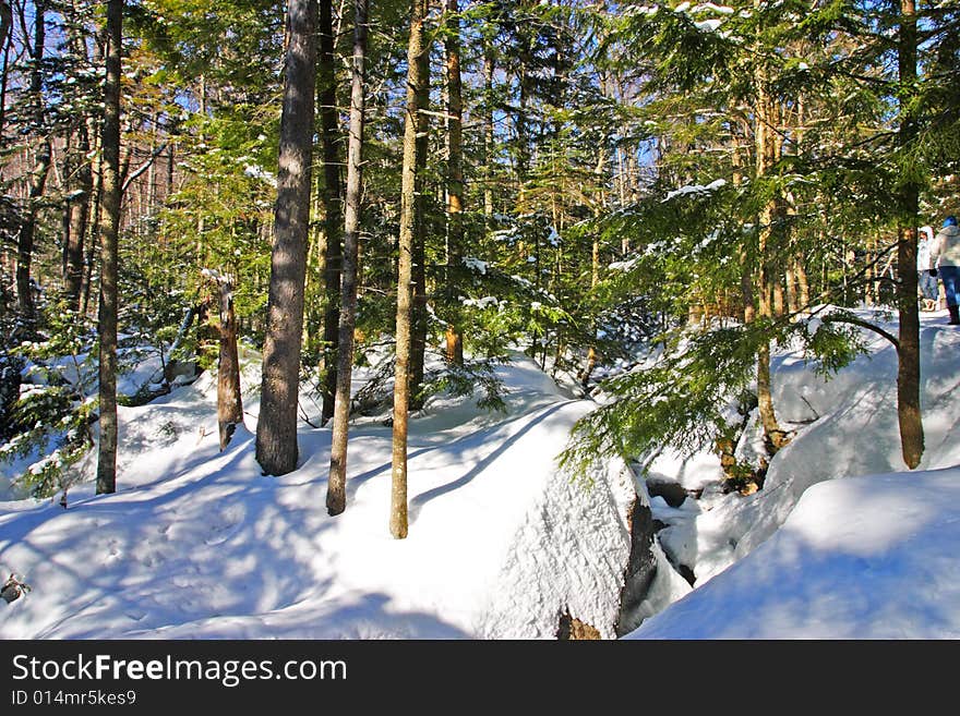
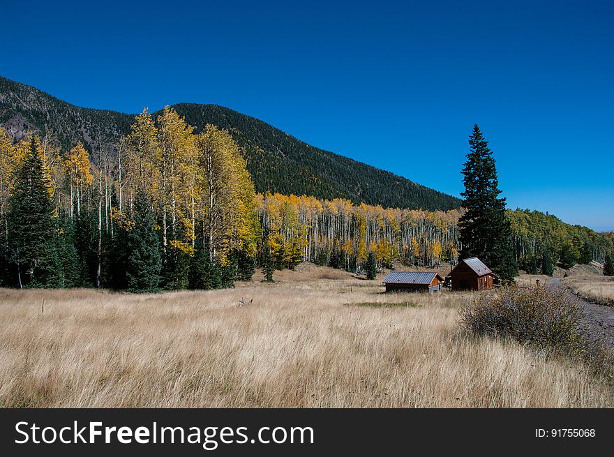
Inner Basin Trail No. 29 - The Inner Basin Trail Ascends From Lockett Meadow Into The Caldera Of The San Francisco Peaks, An Extinct Volcano And Home Of The Tallest Peaks In Arizona. The First 1. 7 Miles Of The Trail Winds Through The Extensive Aspen Forest Flanking The Upper Reaches Of The Peaks, Joining The Waterline Trail Briefly Before Following A Jeep Road Into The Caldera. The Trail Starts At An Elevation Of 8665 Feet, Gaining Approximately 1200 Feet Over 2 Miles On Its Way Into The Inner Basin. The Trail Continues Another 2 Miles, Gaining An Additional 600 Feet Or So To Join Up With The Weatherford Trail. Photo By Deborah Lee Soltesz, October 1, 2015. Source: U. S. Forest Service, Coconino National Forest. See Lockett Meadow Campground And Inner Basin No. 29 For Information About This Area Of The Peaks On The Coconino National Forest Website. Photo
© publicdomainstockphotos | Stock Free Images


