Browse categories
Log in
Sign up
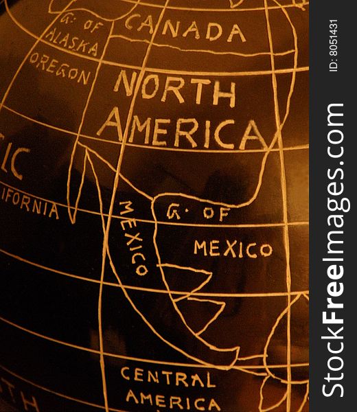
America Central Map Mexico Free Stock Images
Safe search
Include:
RF-LL
Public Domain
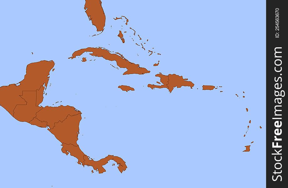
Central America map with black outline and brown surface surrounded by blue ocean
1854 Map of the United States, Canada, Mexico and the West Indies with Central America, Showing All the Routes to California with
Doodle Map of Central America and Mexico
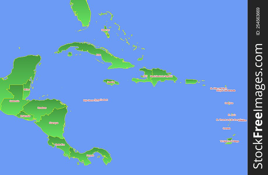
Central America map with yellow outline and green surface surrounded by blue ocean labeled with countries in German
Political map of Central America and Mexico in dark grey. Simple flat vector illustration
Political map of Central America and Mexico in four shades of green. Simple thin black outline vector illustration
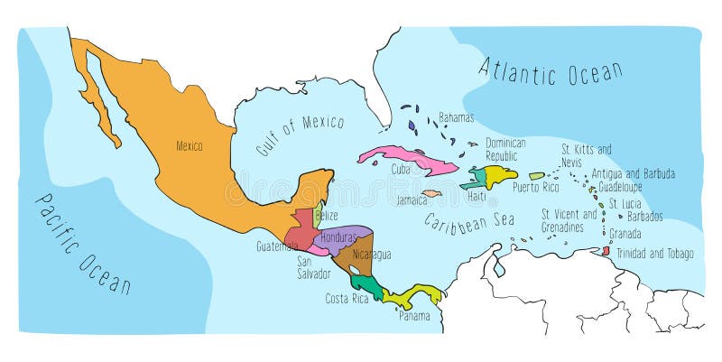
Political map of Central America and Mexico in four shades of orange. Simple flat vector illustration
Jalisco outline map Mexico state central america region country shape
Physical map of North America, USA, Canada, Mexico and Central America
Blank political map of Central America and Mexico. Simple thin black outline vector illustration
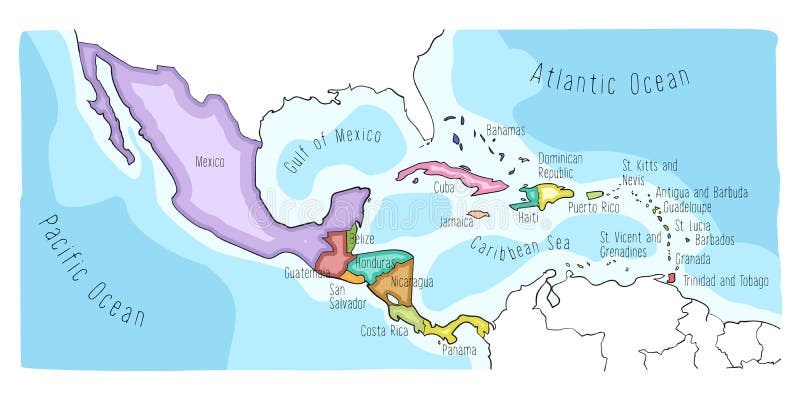
Mexico orange marked in political map of Central America. Simple flat vector illustration
Doodle Map of Central America and Mexico
Doodle Map of Central America and Mexico
Doodle Map of Central America and Mexico
Map of Central America, satellite view. Mexico and United States, physical map. Reliefs and mountains.
Jalisco outline map Mexico state central america region country shape
USA
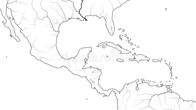
World Map of CENTRAL AMERICA and CARIBBEAN REGION: Mexico, Caribbean Islands, Caribbean basin. Geographic chart.
Next page
1
/ 5
Home
Search for America central map mexico free images