Browse categories
Log in
Sign up
Brooklyn Map Free Stock Images
Related searches:
brooklyn york
Safe search
Include:
RF-LL
Public Domain
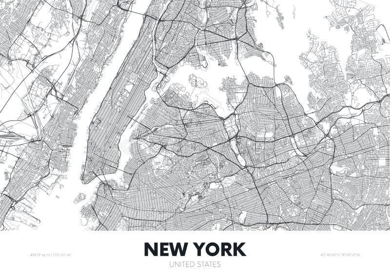
Map of the roads and neighborhoods of new york borough brooklyn
Vector Map of Brooklyn new York USA flat hand-drawn illustration. American attractions States, city, district, name
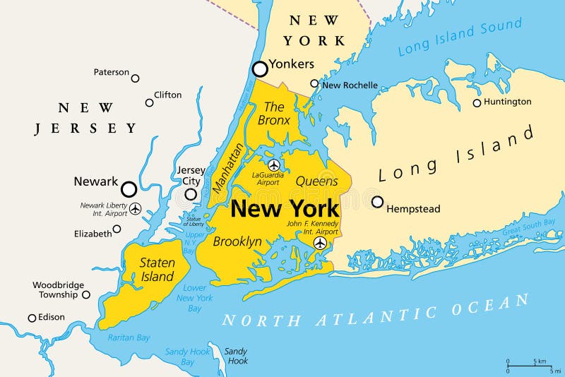
New York City, political map, Manhattan, Bronx, Queens, Brooklyn and Staten Island
New York City skyline with Brooklyn Bridge with USA quarantine pandemic with coronavirus COVID-19 US map attack coronavirus in the
Street roads map of the Williamsburg neighborhood of the Brooklyn borough of New York City, USA
USA pandemic with coronavirus COVID-19 map on a US with statue of liberty on Brooklyn bridge at dusk
Satellite map of New York City, Brooklyn, Usa
City map New York USA, travel poster detailed urban street plan, vector illustration
Brooklyn Street Guide 1920
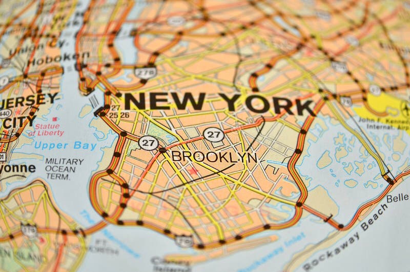
New York City, Brooklyn map
Detailed borough map of Brooklyn New York city, vector poster or postcard for city road and park plan
Brooklyn map poster. New York city borough street map. Cityscape aria panorama
Old vintage colorful map of New York City with the Brooklyn bridge dated back to 1876
Brooklyn map, New York city, streets and district. Usa
Brooklyn outline map New York city borough shape
Home
Search for Brooklyn map free images