Browse categories
Log in
Sign up
Canada Provinces Free Stock Images
Safe search
Include:
RF-LL
Public Domain
Flags - Canada provinces
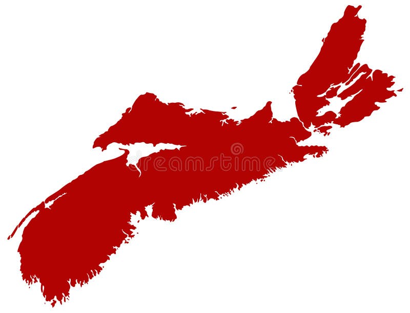
Nova Scotia map - one of Canada`s three Maritime Provinces
Man wear black formal and protect face mask, hold Manitoba flag card isolated on white background. Canada provinces coronavirus
Vector illustrated map of Canada with provinces and territories and administrative divisions, and neighbouring countries
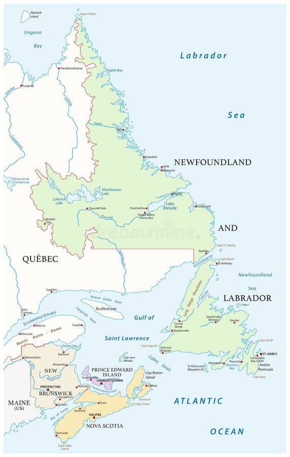
Map of the four canada atlantic provinces
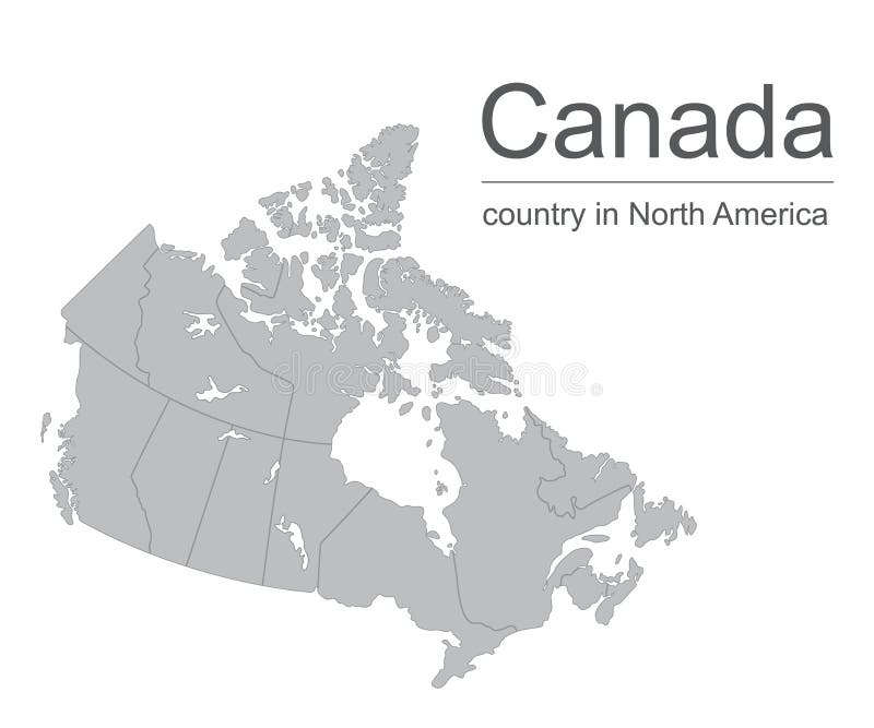
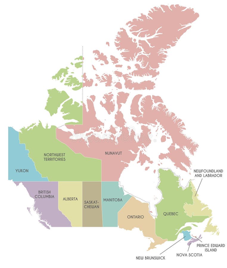
Canada provinces map
Canada map vector outline illustration with provinces or states borders on a white background
Canada All Provinces & Territories Flag Vector Illustration on White Background. Flags of Canada
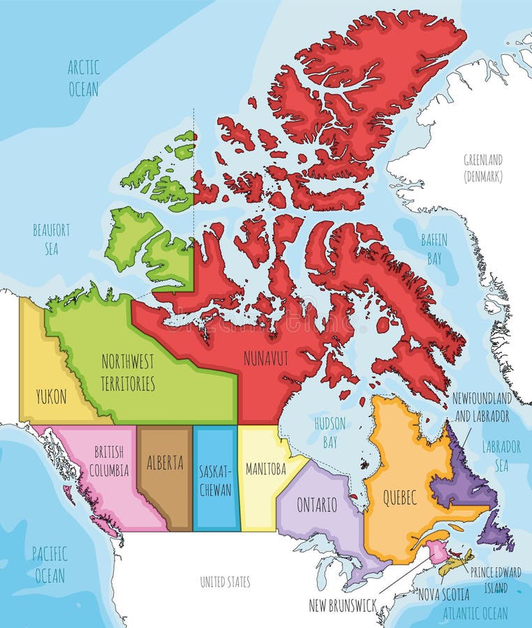
Vector map of Canada with provinces and territories and administrative divisions.
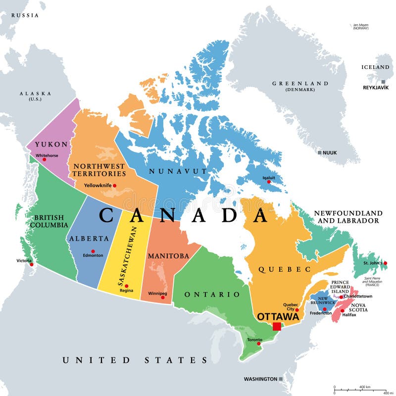
USA and Canada large detailed political map with states, provinces and capital cities
Ontario, Quebec and New Scotland, Canada provinces
Canada provinces map
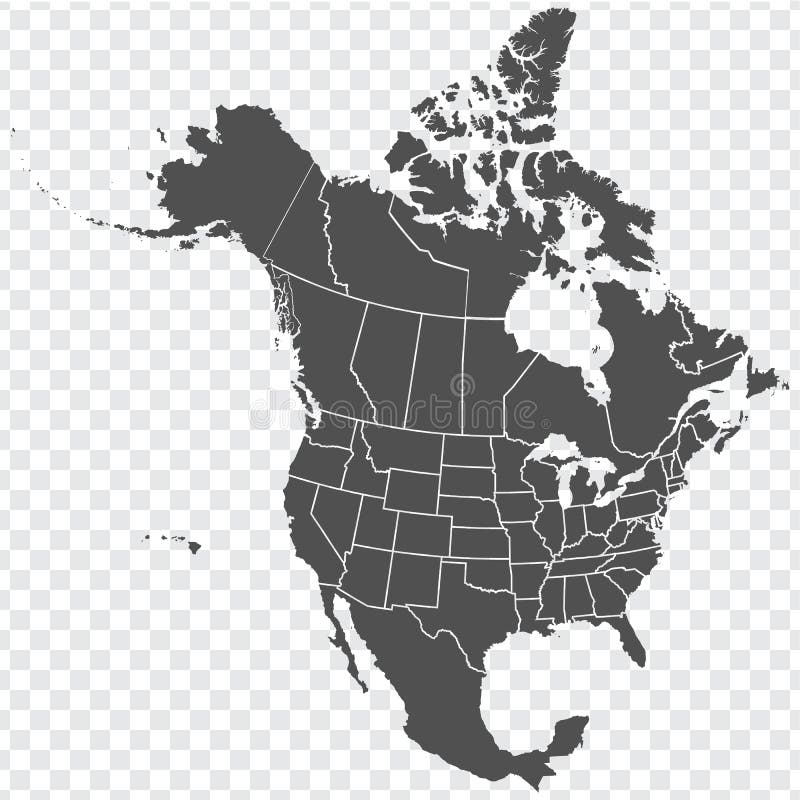
Map of North America. Detailed map of North America with States of the USA and Provinces of Canada. Template.
Flaga of Canada Provinces
Canada, administrative divisions, provinces and territories, colored map
Next page
1
/ 3
Home
Search for Canada provinces free images