Browse categories
Log in
Sign up
Continents World Map Illustration Free Stock Images
Safe search
Include:
RF-LL
Public Domain
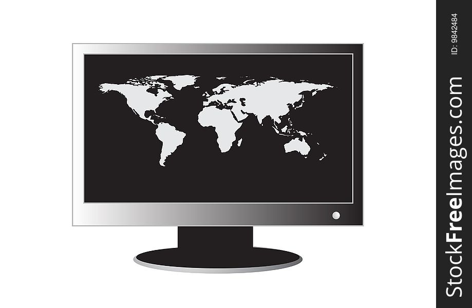
LCD Monitor with a world map
World map colorful abstract
World Map spot colored illustration
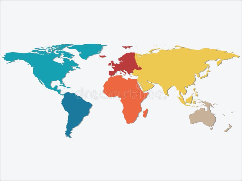
World map continents
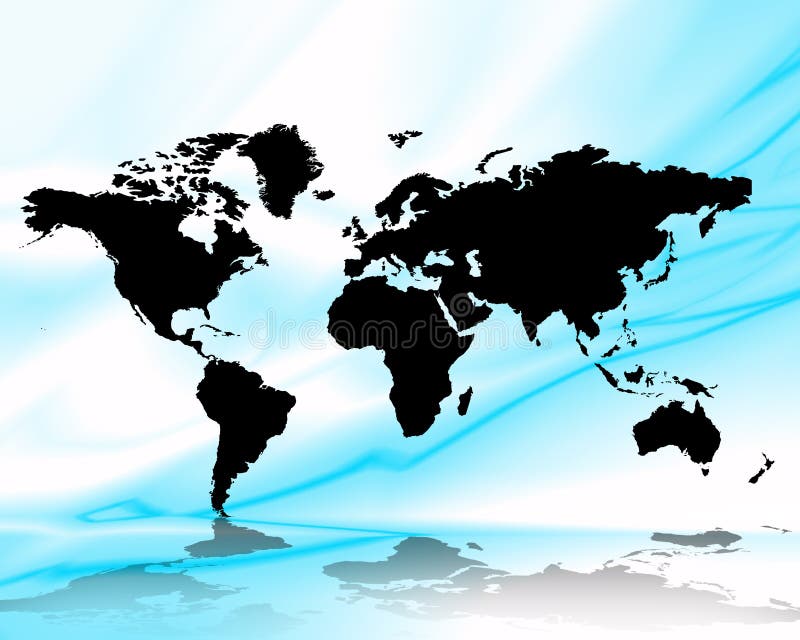
Water world map illustration
Political blank World Map vector illustration with different tones of blue for each country.
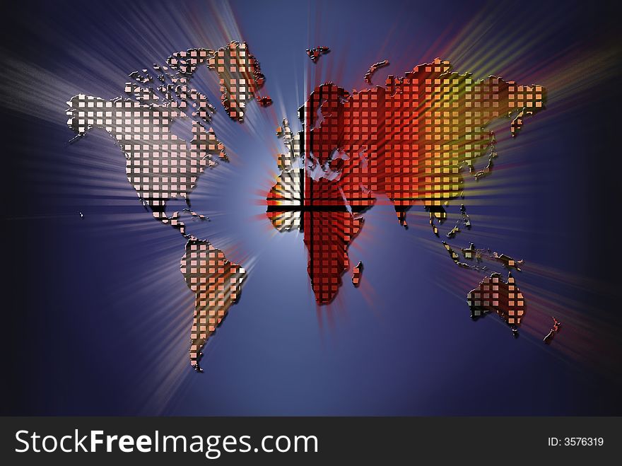
Fiery World Map Illustration
Political world blue map and vector illustration
Old, Grunge Map of the World Illustration
Animals world map, North America. Colorful cartoon vector illustration for children and kids
Vintage world map. Ancient world antiquity paper map with continents ocean sea old sailing vector globe background
World map
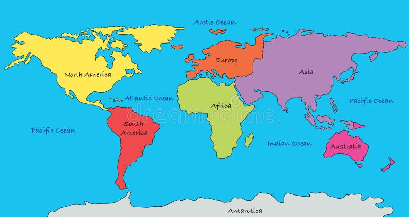
Colorful Continents World Map
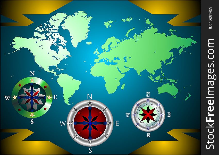
World map with compass
World squares colors spoothlig
World map blue stars space
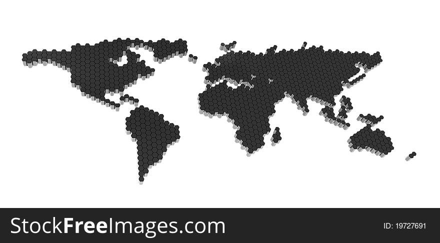
The black polygons map isolated
World map illustration
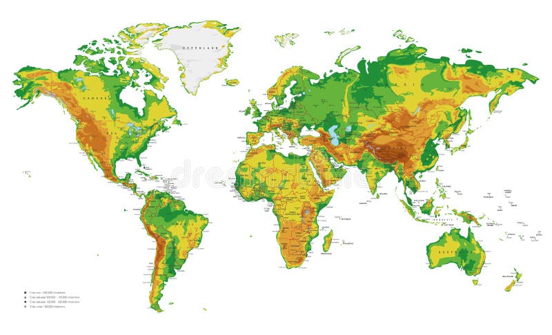
Physical World Map vector illustration with cities, countries and international borders
Next page
4
/ 16
Home
Search for Continents world map illustration free images