Browse categories
Log in
Sign up
East Africa Map Free Stock Images
Safe search
Include:
RF-LL
Public Domain
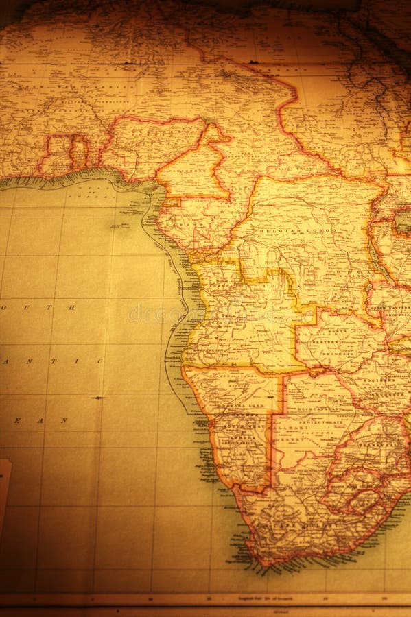
Old Map of East and South of Africa
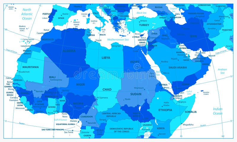
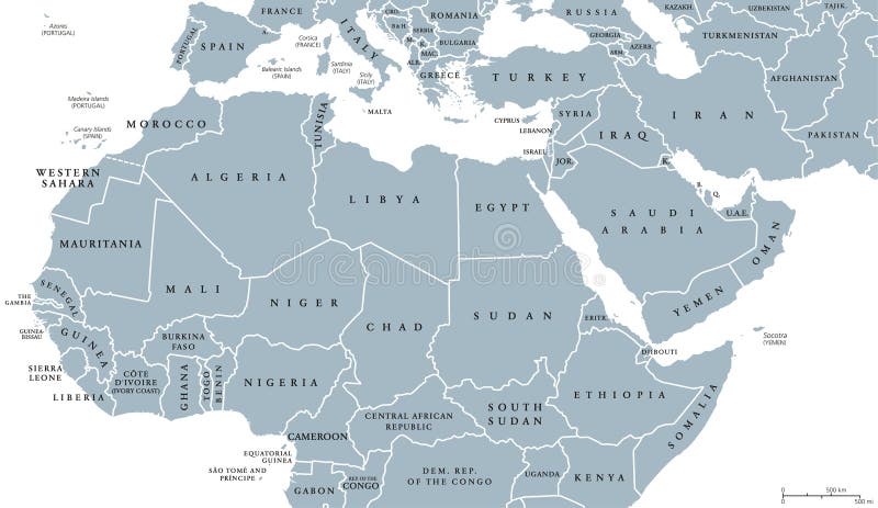
Detailed political map of Northern Africa and the Middle East an
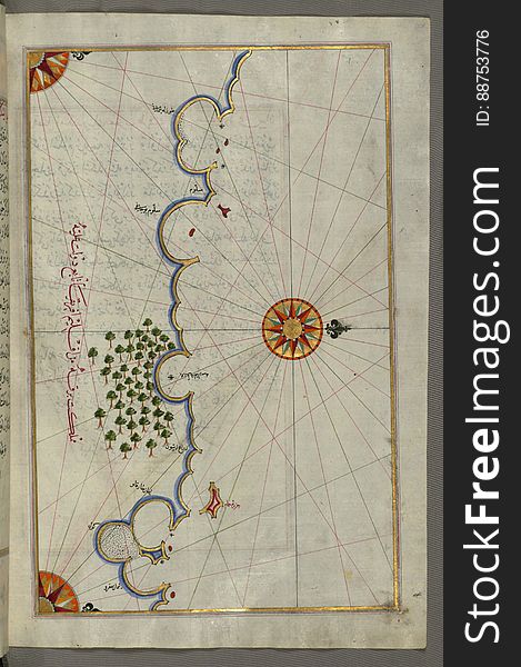
Illuminated Manuscript, Map of the Egyptian coast from Salūm east from Book on Navigation, Walters Art Museum Ms. W.658, fol.297b
Atlas showing South America and Africa
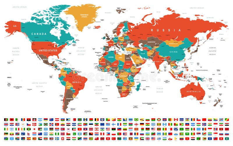
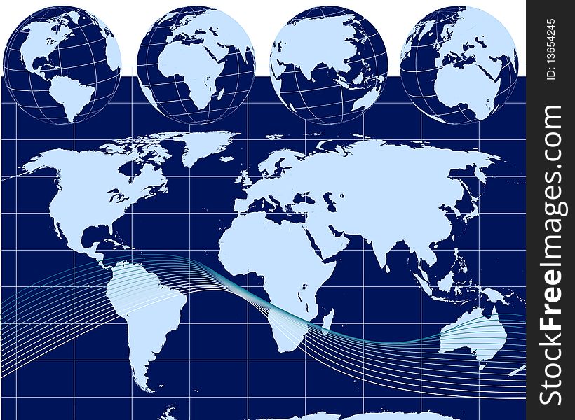
World Map and Flags - borders, countries and cities -illustration
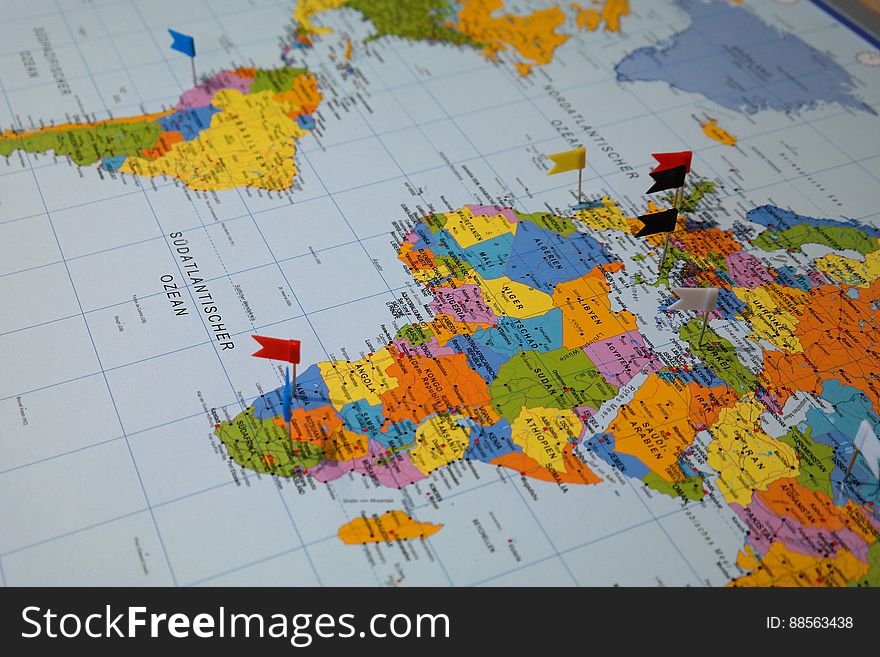
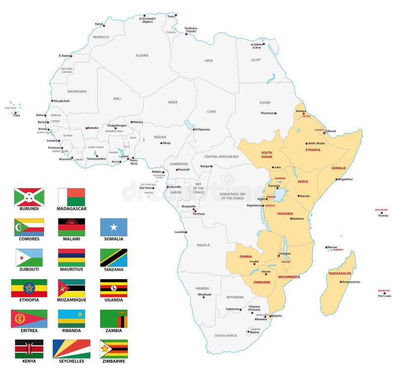
East africa map with flags
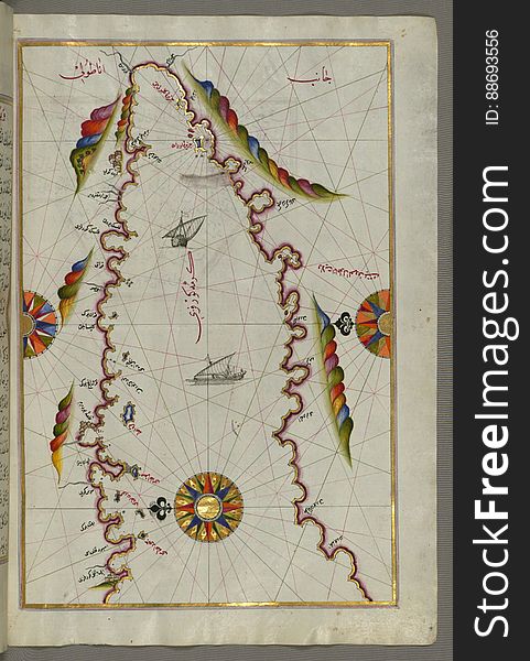
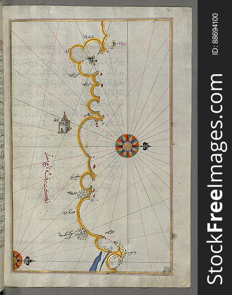
The Bay of Kerme east of east of Cos (Stancho, İstanköy) island from Book on Navigation, Walters Art Museum Ms. W.658
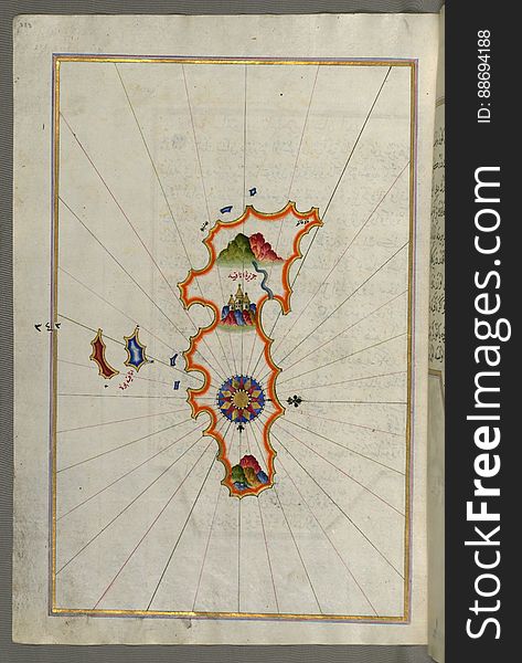
Illuminated Manuscript, Map of the Island of Anafi (Anāfiyah), east of Thera (Thira) from Book on Navigation
Illuminated Manuscript, Map of the Libyan coast from Tripoli (Ṭarābulus-i Maghrib)east towards Egypt from Book on Nav
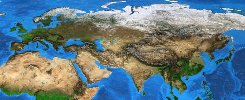
Eurasia - High resolution map of Europe and Asia
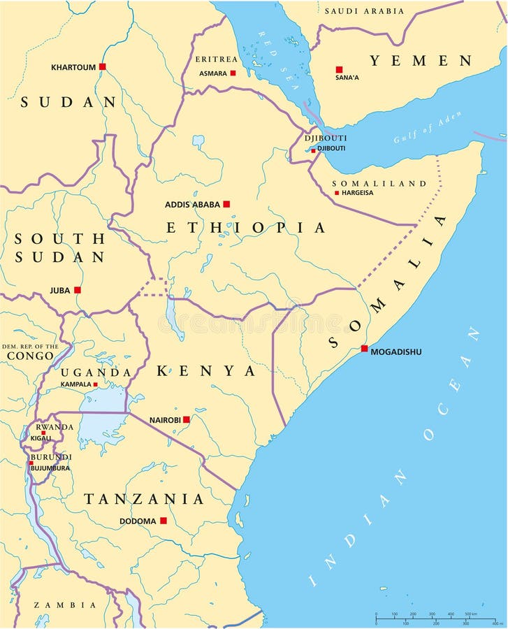
East Africa region, political map
Detailed map of Northern Africa and the Middle East
Map with compass
Illustration of globes with world map
North Africa and Middle East political map
Navigating European Business
East Africa Region. Map of countries in eastern Africa. Vector illustration
East Africa Region. Map of countries in eastern Africa. Vector illustration
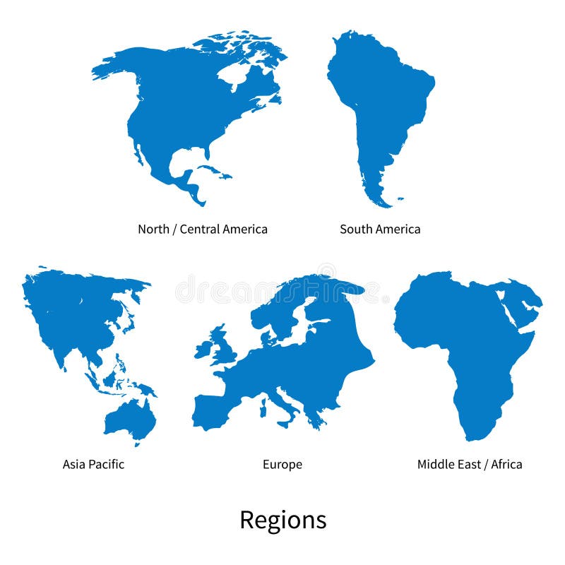
Detailed vector map of North - Central America, Asia Pacific, Europe, South America, Middle and East Africa Regions
East Africa Political Map
North Africa and Middle East political map
Illuminated Manuscript, Map of the Egyptian coast from Matrūḥ east towards Alexandria from Book on Navigation, Walters Art Muse
Map of Europe, North Africa and Middle East, relief map
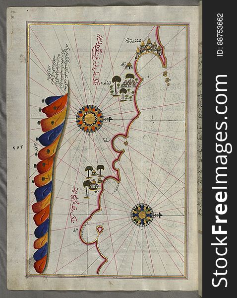
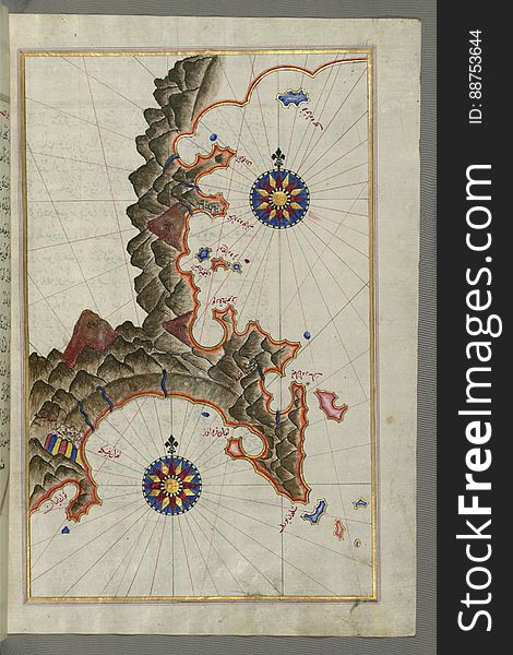
Illuminated Manuscript, Map of the Anatolian coast east of Finike from Book on Navigation, Walters Art Museum Ms. W.658, fol.336b
Next page
1
/ 9
Home
Search for East africa map free images