Browse categories
Log in
Sign up
Illuminated Map World Free Stock Images
Safe search
Include:
RF-LL
Public Domain
Easter egg with map
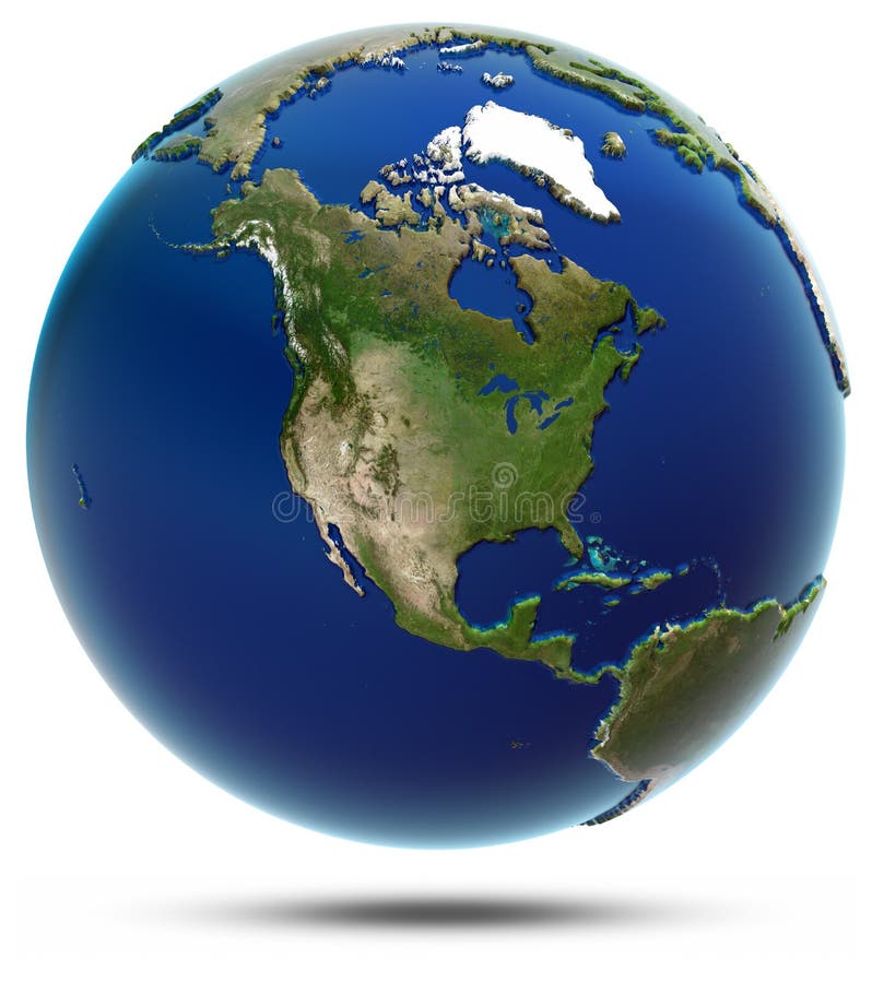
America global map - North America
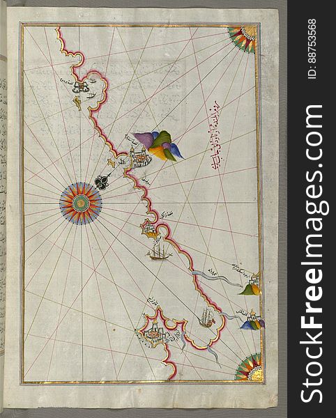
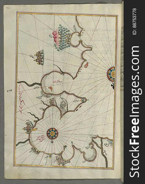
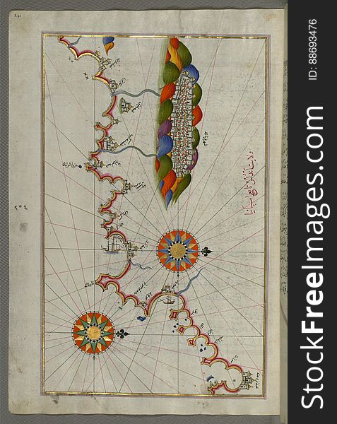
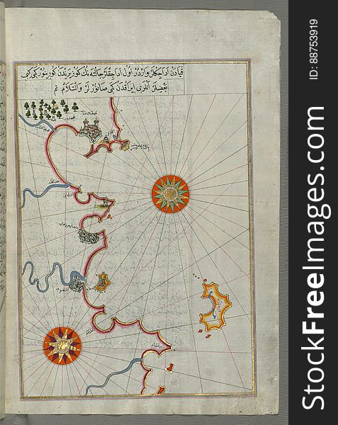
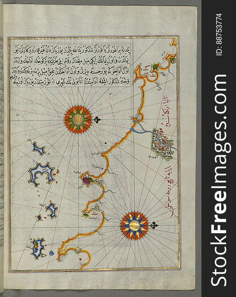
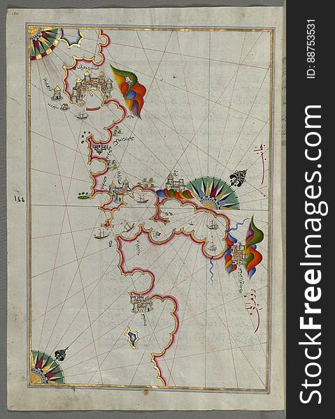
Illuminated Manuscript, The Adriatic coast from Drač (Durezzo, Trāj) north of Karaburun as far as Budva from Book on
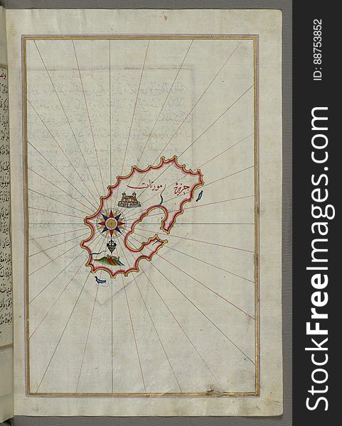
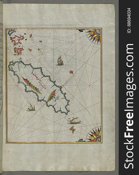
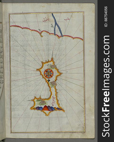
Illuminated Manuscript, Map of Keos (Kea, Murtat, Mürted) island from Book on Navigation, Walters Art Museum Ms. W.658
Buttons For Web Design -EPS Vector-
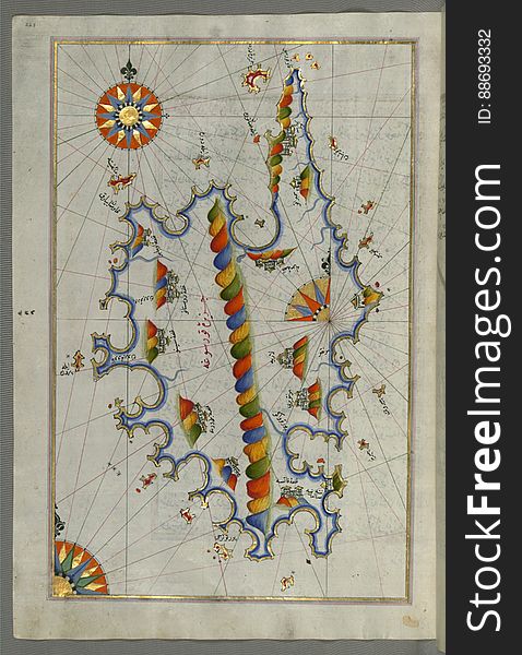
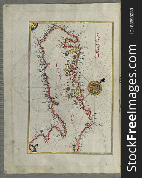
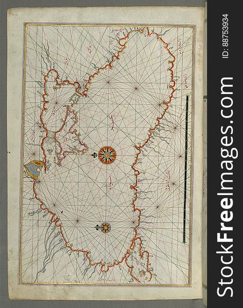
Illuminated manuscript Map of Corsica, from Book on Navigation, Walters Art Museum Ms. 658, fol. 229a
Illuminated Manuscript, Map of the eastern Mediterranean coast (here the coast of İskenderun) and the cities of Latakia
Illuminated Manuscript, Map of Melos (Deġirmenlik) island from Book on Navigation, Walters Art Museum Ms. W.658, fol.35
World
Illuminated Manuscript, The Bay of Salonica (Selānīk, Thessaloniki), from Book on Navigation, Walters Art Museum Ms. W
Illuminated Manuscript, Map of the Anatolian coast from Silfke to Anamur from Book on Navigation, Walters Art Museum Ms. W.658, fo
Illuminated Manuscript, Map of the Caspian Sea (Baḥr-i Khazar) from Book on Navigation, Walters Art Museum Ms. W.658
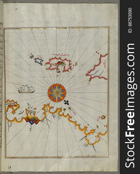
Illuminated Manuscript, Map of the Aloneses (Čamlığa) from Book on Navigation, Walters Art Museum Ms. W.658, fol.364b
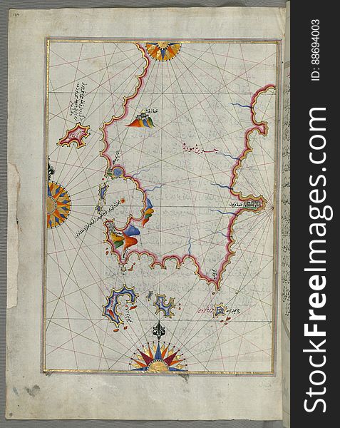
Illuminated Manuscript, The area between Corfu (Kerkira, Kūrfūz) and Paxi (Paxoi) islands from Book on Navi
Illuminated Manuscript, Map of two islands: Santorini (Ṣāntūrūn) and Thera (Thira) in the Aegean Sea, nor
Abstract shining world
Metal plate and gears world map with arrows
Illuminated Manuscript Map of the coast of Andalusia with the city of Grenada (Gharnātah), from Book on Navigation, Wal
Illuminated Manuscript, Western part of the Peloponnese (Morea, Mora) peninsula opposite the Zakynthos (Zante, Zāk
High world technologies
Illuminated Manuscript, Map of the Anatolian coast around Anamur (Turkey) from Book on Navigation, Walters Art Museum Ms
Abstract arrows and world map
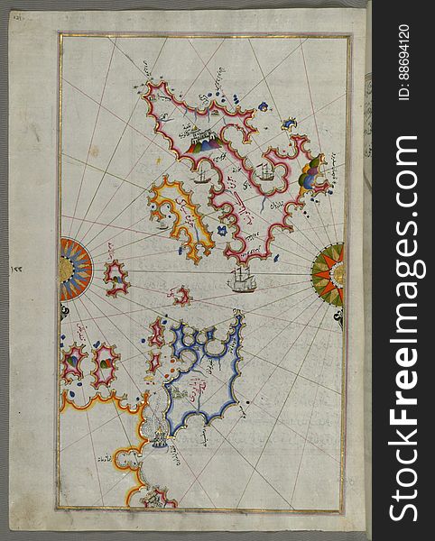
Illuminated Manuscript Island of Ikaria (Ahikere) in the eastern Aegean sea west of Samos (Ṣūṣām), from
World
Illuminated Manuscript, The area between Corfu (Kerkira, Kūrfūz) and Paxi (Paxoi) islands from Book on Navig
Illuminated Manuscript islands of Ikaria (Ahikere) and Samos (Ṣūṣām) in the eastern Aegean Sea, from Boo
Rising sun on Europe and Middle East, from space
Illuminated Manuscript, The Islands of Corfu (Kerkira, Kūrfūz) and Paxi (Paxoi) from Book on Navigation, Wal
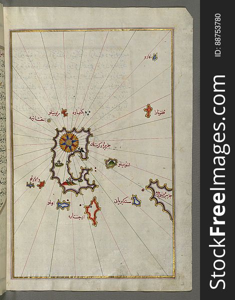
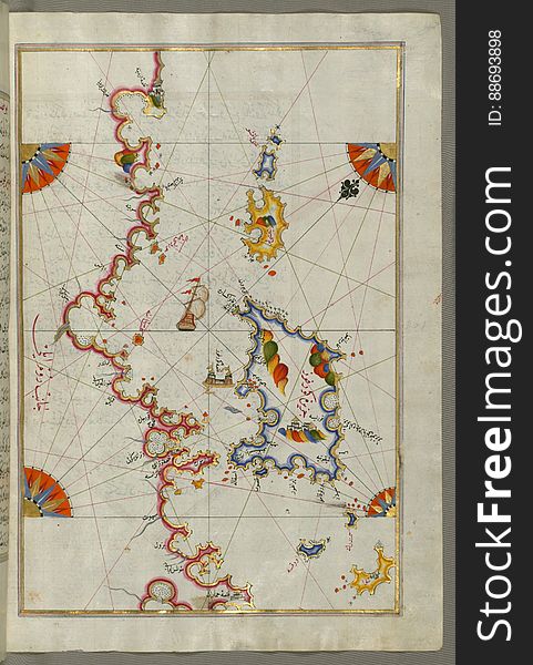
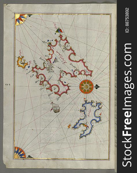
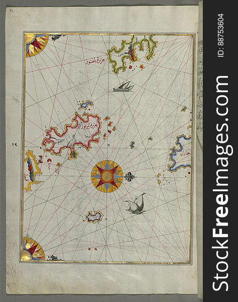
Illuminated Manuscript, Upper Aegean Sea with the islands of Imbros (Imroz, Gökçeada) and Bozca (Tenedos), f
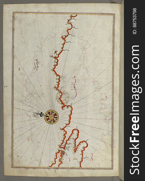
Illuminated Manuscript, Map from Book on Navigation, Walters Art Museum Ms. W.658, fol.358b
Illuminated Manuscript Map of the Islands of the Adriatic Coast from Book on Navigation, Walters Art Museum Ms. W.658, fol. 208a
Light bulb
Illuminated Manuscript, Eastern part of the Peloponnese (Morea, Mora) peninsula from Book on Navigation, Walters Art Mu
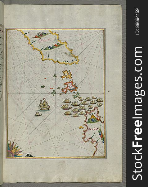
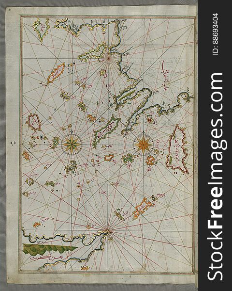
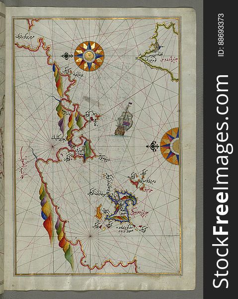
Illuminated Manuscript map of the islands of the Aegean Sea including Chios (Sakiz), Cos (Stancho, İstanköy)
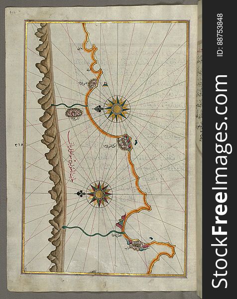
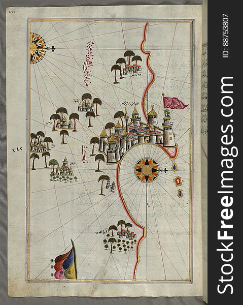
Illuminated Manuscript, Map of the Egyptian coast from Salūm east from Book on Navigation, Walters Art Museum Ms. W.658, fol.297b
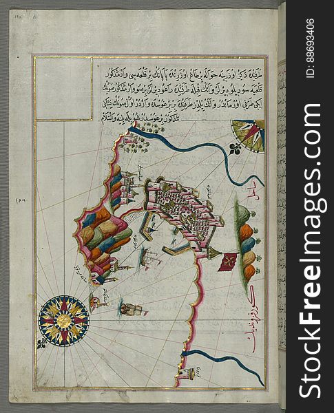
Illuminated manuscript Map of the Fortress of Ancona, from Book on navigation, Walters Art Museum ms. W.658, fol. 192a
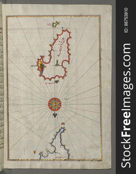
Illuminated Manuscript, Map of the island of Mīr ʿAlī from Book on Navigation, Walters Art Museum Ms. W.658, fol.369b
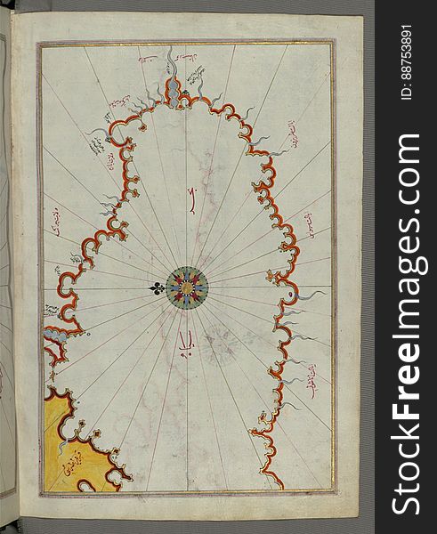
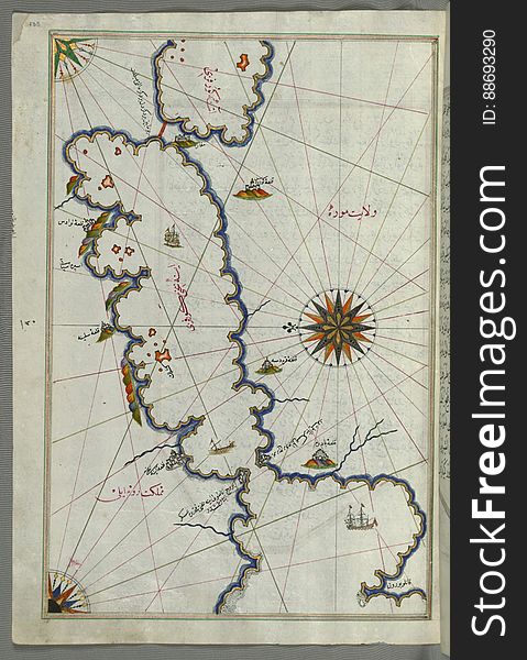
Illuminated Manuscript, Map of the Black Sea coastline from Book on Navigation, Walters Art Museum Ms. W.658, fol.373a
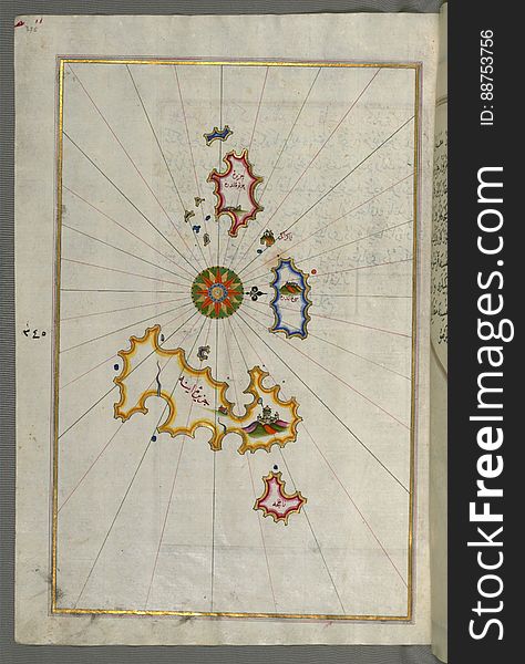
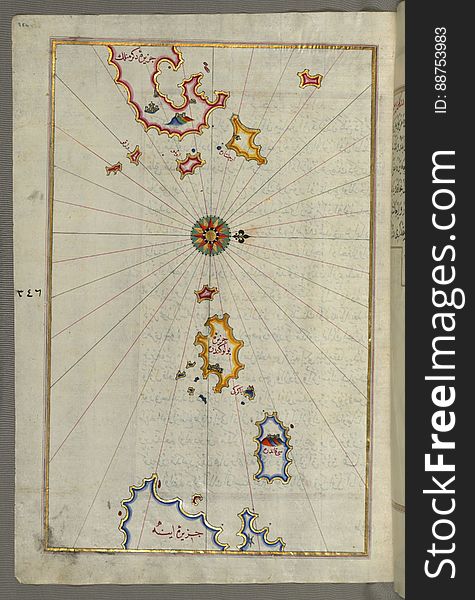
Illuminated Manuscript, Map of the islands Foleġandros and Ios (İnyos, İnye) from Book on Navigation, Walters Art Mus
Illuminated Manuscript, Map of the fortress of Tripoli (Ṭarābulus-i Maghrib) and the surrounding area from Book on Na
World globe - Oceania
Illuminated Manuscript, Map of Kythnos (Termia) island from Book on Navigation, Walters Art Museum Ms. W.658, fol.360b
Europe and North Africa city lights map
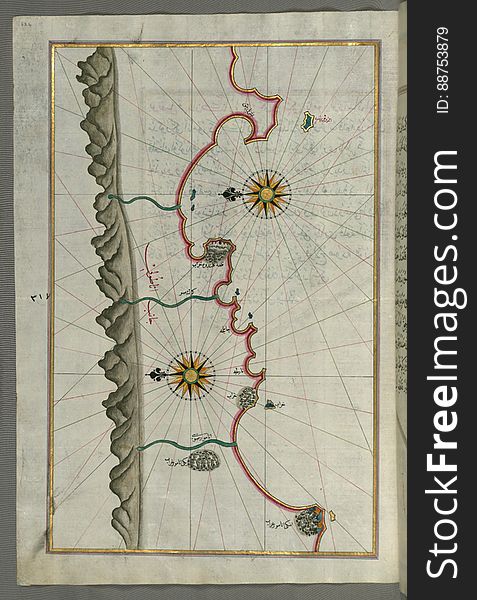
Illuminated Manuscript, Map of the coast line of the Black Sea from Book on Navigation, Walters Art Museum Ms. W.658, fol.371b
Illuminated Manuscript, Map of the Islands of Mojorca (Miyārqū)and Minorca (Minārqū) from Book on Navigati
Illuminated Manuscript from Book on Navigation, Walters Art Museum Ms. W.658, fol.68a
Illuminated Manuscript, Map of the Algerian and Tunisian coast from Annaba (Bilād al-ʿUnnāb) to Tabarka (Tabāra
Illuminated Manuscript map of the northeastern tip of Rhodes (Rodos, Rūdūs) Island facing the Anatolian coast with the
Illuminated Manuscript, Map of the coast of the Black Sea from Istanbul to Geresun from Book on Navigation, Walters Art Museum Ms.
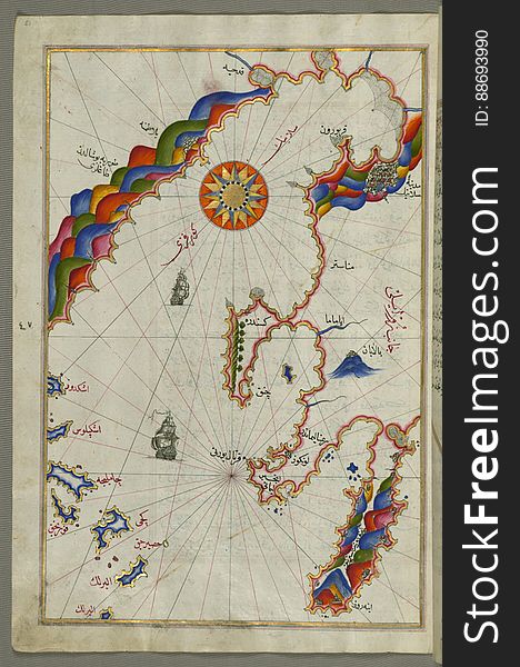
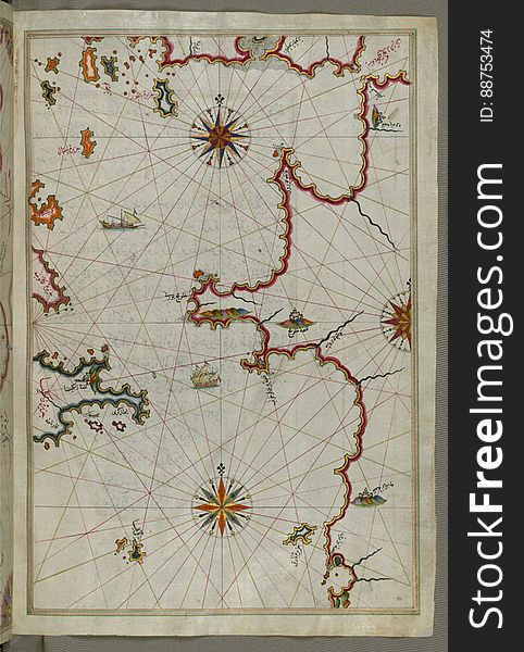
Illuminated Manuscript, The western coast of Greece from the island of Levcas (Lefkada, Leucas, Santa Maura) going north
Europe and Middle East from space
Asia and Oceania in focus
Illuminated Manuscript, Map of the western Italian coast as far as the city of Rome (Rūmah) from Book on Navigation, Wa
Nature background with world
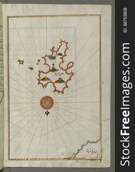
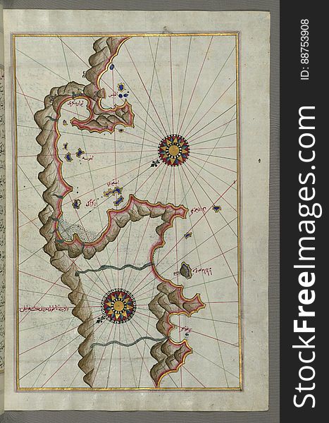
Illuminated Manuscript, Map of unidentified islands off the southern Anatolian coast from Book on Navigation, Walters Art Museum
Illuminated Manuscript, The Island of Leros (Līryūs) in the eastern Aegean Sea, from Book on Navigation, Walters Art M
Illuminated Manuscript, Map of the islands Foleġandros and Melos (Deġirmenlik) from Book on Navigation, Walters Art Mu
Earth s city lights political map
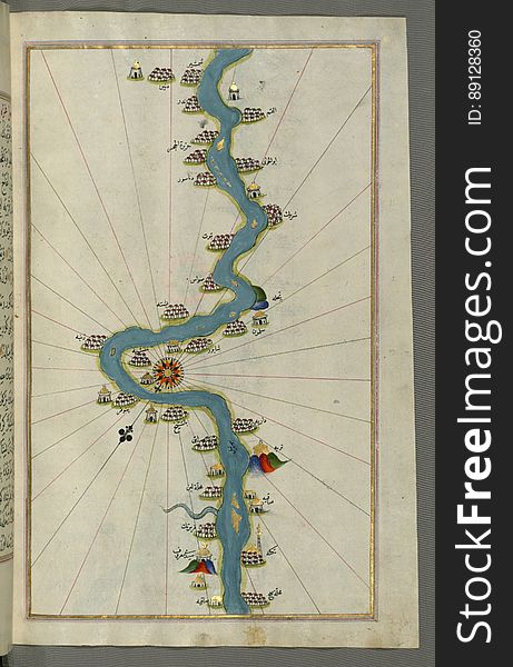
Illuminated Manuscript, Map of the Nile River with various oases on each as far as Sīdī Maʿrūf from Book on Navigation, Walte
Illuminated Manuscript Adriatic coast from Budva to Dubrovnik (Dūbre Venedīk), from Book on Navigation, Walters Art M
High world technologies
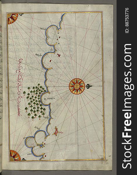
Illuminated Manuscript Map of Saronikos (Aiyina) Bay, from Book on Navigation, Walters Art Museum Ms. W.658, fol. 133a
Illuminated Manuscript, The islands of Kefalonia (Kefallinia, Kafālūnye), Ithaca (Ithaki, Seyākī) and Aya
Next page
4
/ 6
Home
Search for Illuminated map world free images