Browse categories
Log in
Sign up
Kingdom Map Free Stock Images
Safe search
Include:
RF-LL
Public Domain
United Kingdom - political map of administrative divisions
Andoya island Kingdom of Norway, Vesteralen archipelago map vector illustration, scribble sketch Andoya map
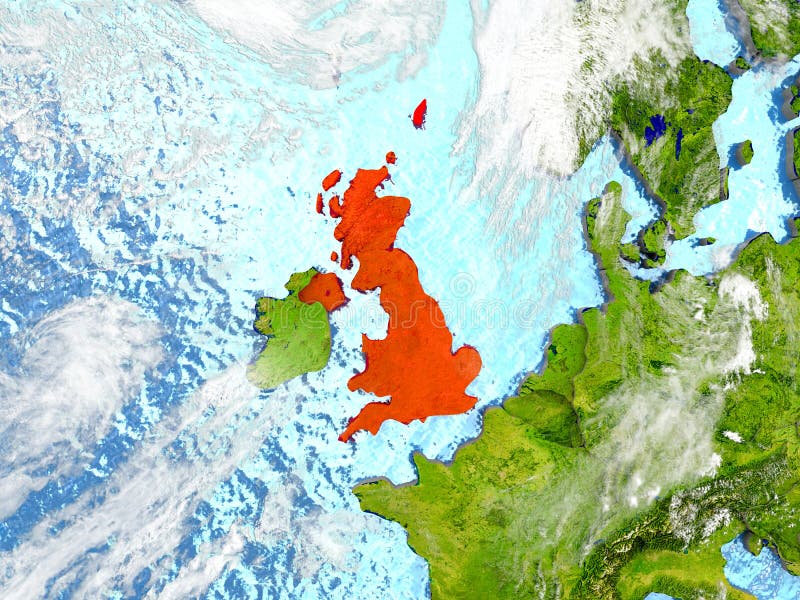
United Kingdom on map with clouds
United Kingdom outline map country shape
United Kingdom, aka UK, of Great Britain and Northern Ireland map. Divided to four countries - England, Wales, Scotland
Zeeland province Kingdom of the Netherlands, Holland map vector illustration, scribble sketch Zealand map
United Kingdom, aka UK, of Great Britain and Northern Ireland hand-drawn blank map. Divided to four countries - England
Province of Lugo Kingdom of Spain, Autonomous community of Galicia map vector illustration, scribble sketch Lugo map
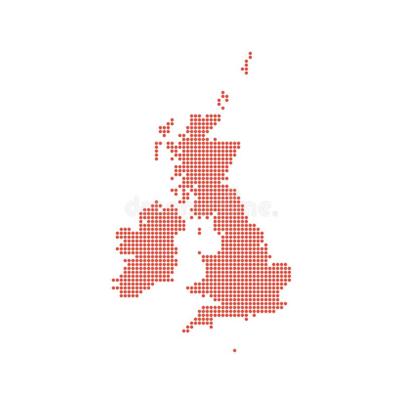
United Kingdom dotted map isolated
United Kingdom UK Regions Map
United Kingdom, aka UK, of Great Britain and Northern Ireland hand-drawn blank map. Divided to four countries - England
United Kingdom freehand sketch outline vector map isolated on white background
Liverpool (United Kingdom) street lights map. Satellite view on modern city at night.
United Kingdom UK map icon trendy
United Kingdom communication network map. Vector low poly image of a global map
Next page
6
/ 20
Home
Search for Kingdom map free images