Browse categories
Log in
Sign up
Lebanon Map Free Stock Images
Safe search
Include:
RF-LL
Public Domain
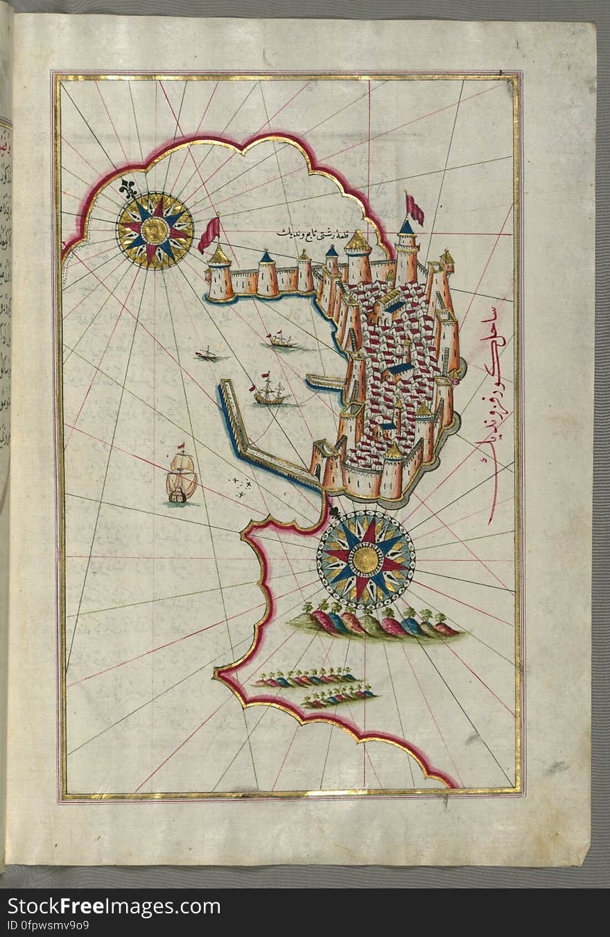
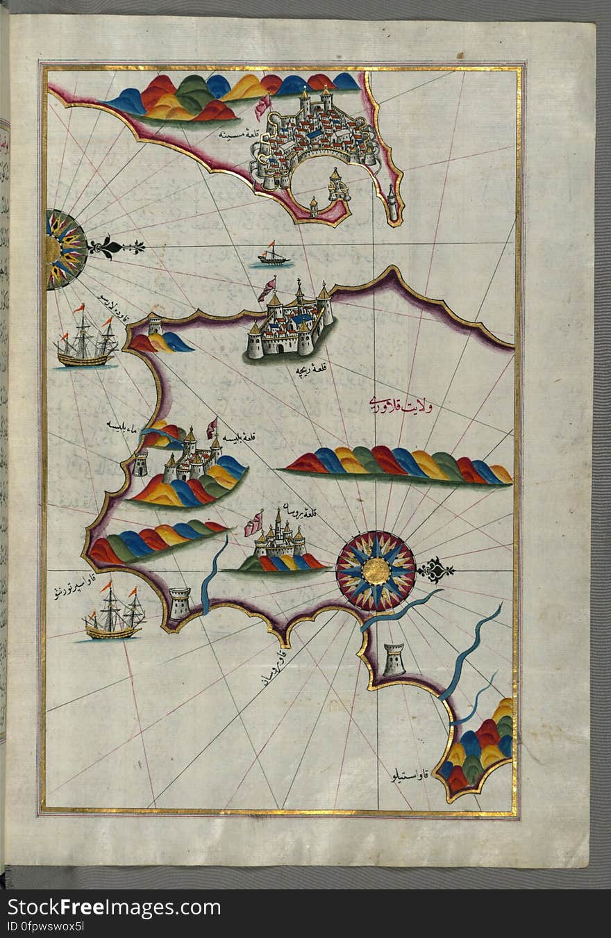
Illuminated Manuscript, Map of the coastline from Muggia (Milje, Mūye) to Trieste (Rishtī) (Italy)
Illuminated Manuscript, Map of the French coast from the Italian border as far as Nice (Nīse) from Book on Navigation
Illuminated Manuscript, Map of Southern Spain and Morocco with the cities of Gibraltar (Jabal-i Fatḥ), Ceuta (Sap
Illuminated Manuscript, Map of the coastline from Mafredonia as far as Barletta on the Italian coast from Book on Navigation, Walt
Lebanon national flag marking the country location on world map. 3D rendering
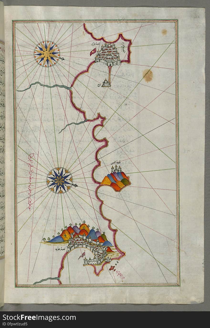
Illuminated Manuscript, Map of the Algerian coast from Algiers (Jazāʾir) to Bejaia (Bajāyah) from Book on N
Lebanon in Arabic language with handwritten calligraphy thuluth font design with Lebanon map silhouette i
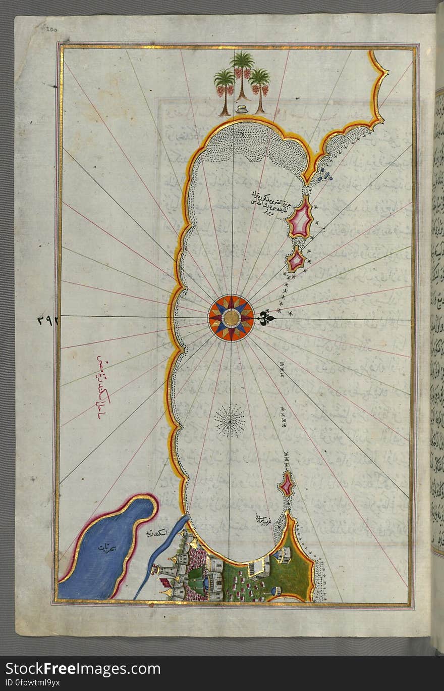
Illuminated Manuscript, Map of the coast of Alexandria (Iskandarīyah) showing a portion of the town itself from Book on
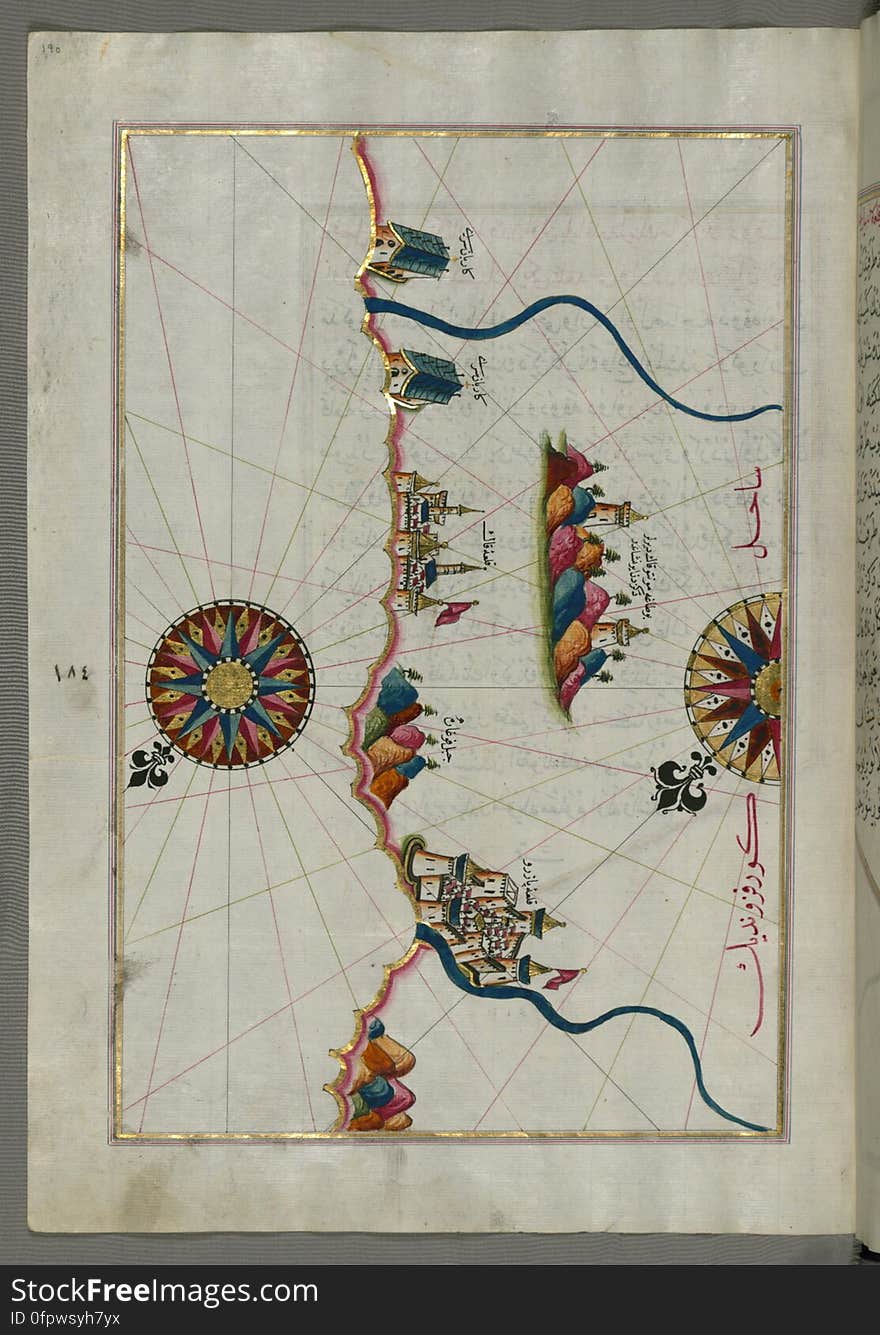
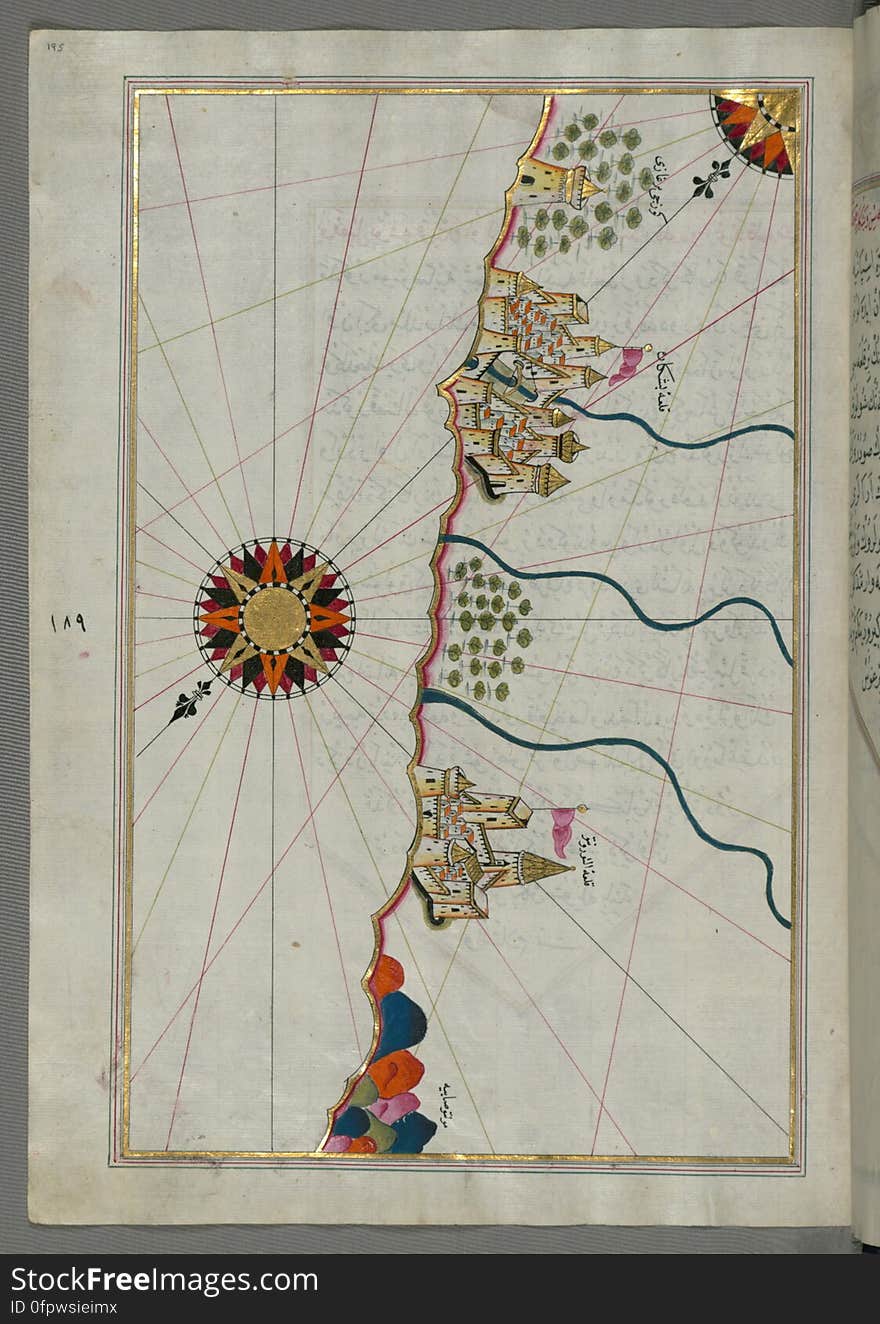
Illuminated Manuscript, Map of the town of Bari and the surrounding area from Book on Navigation, Walters Art Museum Ms. W.658, fo
Illuminated Manuscript, Map of the Italian coastline from Pesaro (Pāzarū) south from Book on Navigation, Walters Art M
Illuminated Manuscript, Map of the straits of Messina and the western Italian coast from Book on Navigation, Walters Art Museum Ms
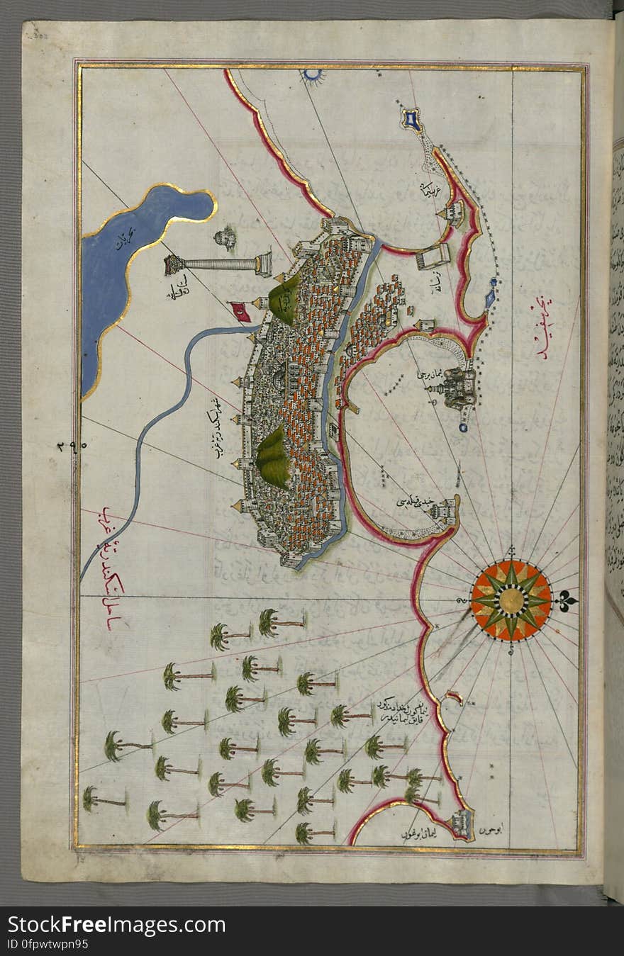
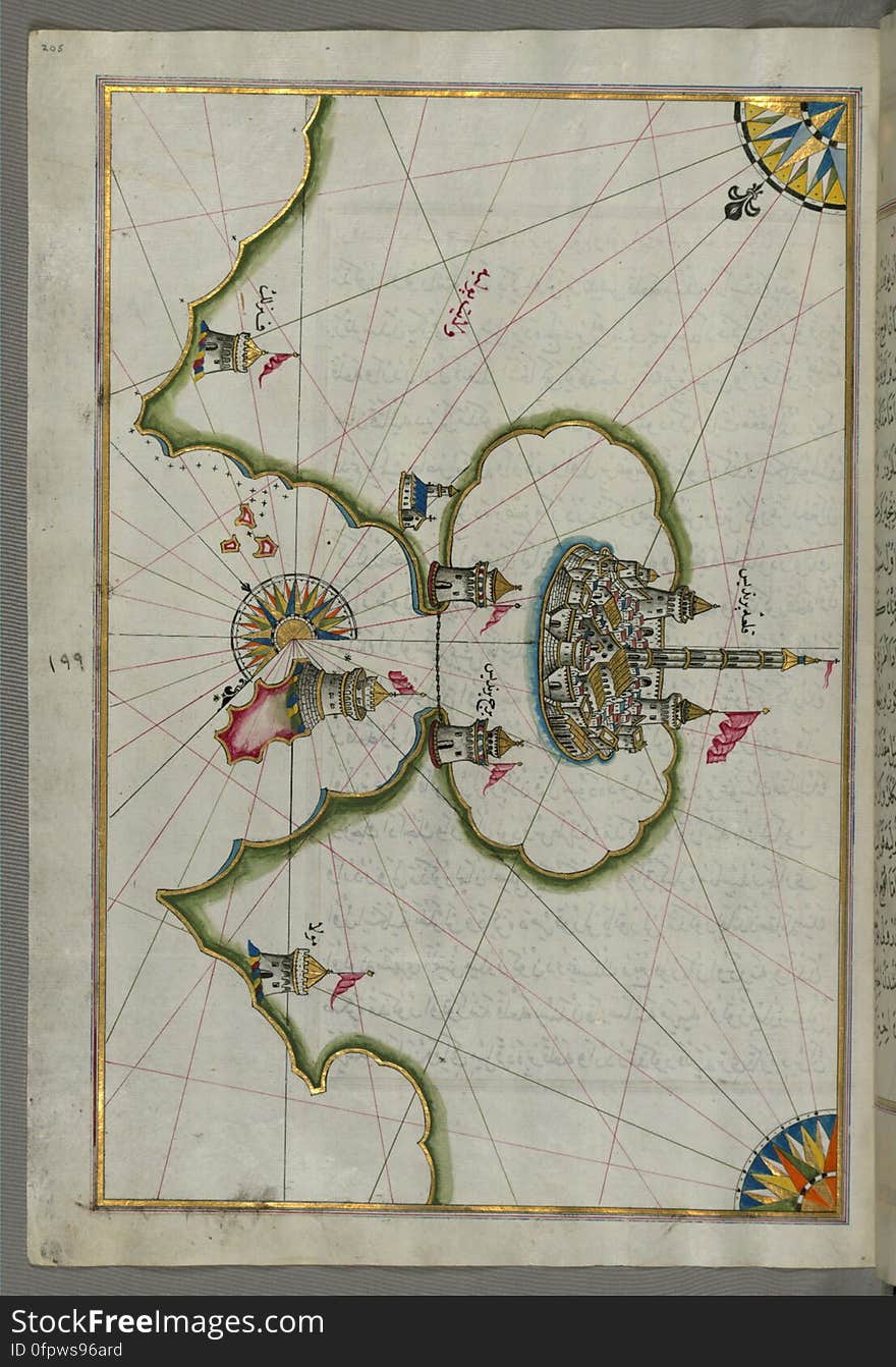
Illuminated Manuscript, Map of the city of Alexandria (Iskandarīyah) (Egypt) from Book on Navigation, Walters
Banner or poster of Lebanon independence day celebration. Lebanon map. Waving flag. Vector illustration.
Illuminated Manuscript, Map of the Egyptian coast from Matrūḥ east towards Alexandria from Book on Navigation, Walters Art Muse
Illuminated Manuscript, Map of the Italian coastline with the cities of Ravenna (Ruvenne) and Cesena (Sazīne)
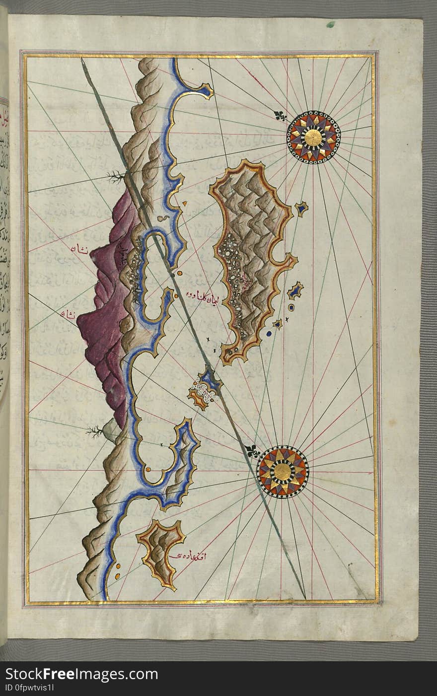
Illuminated Manuscript, Map of Cres (Cherso, Qārsū), Lošinj (Feghāle) and Unije islands (Croatia)
Illuminated Manuscript, Map of the city of Damietta (Shahr-i Dumyād) on the Egyptian coast from Book on Navigation, Wal
Illuminated Manuscript, Map of the Italian coast between Termoli and Peschici from Book on Navigation, Walters Art Museum Ms. W.65
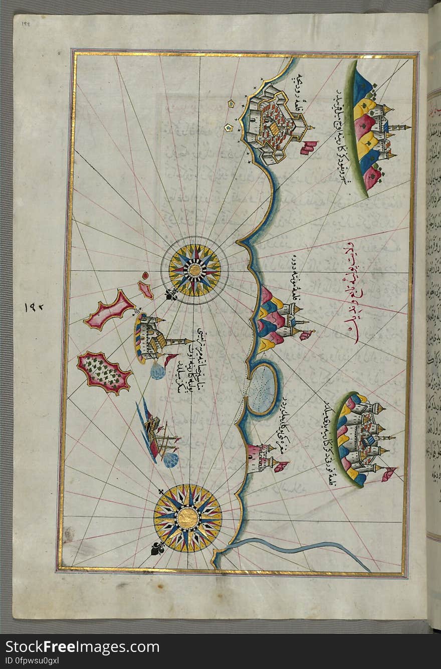
Illuminated Manuscript, Map of the coastline from Izola (Īzele) as far as Koper (Capodistria, Dishtriye) 
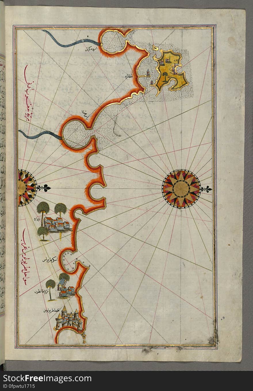
Illuminated Manuscript, Map of the coastline from Novi Grad as far as Umag (Umago, Ūmāghū) (Croatia) from B
puzzle with the national flag of lebanon and dollar banknote on a world map background.
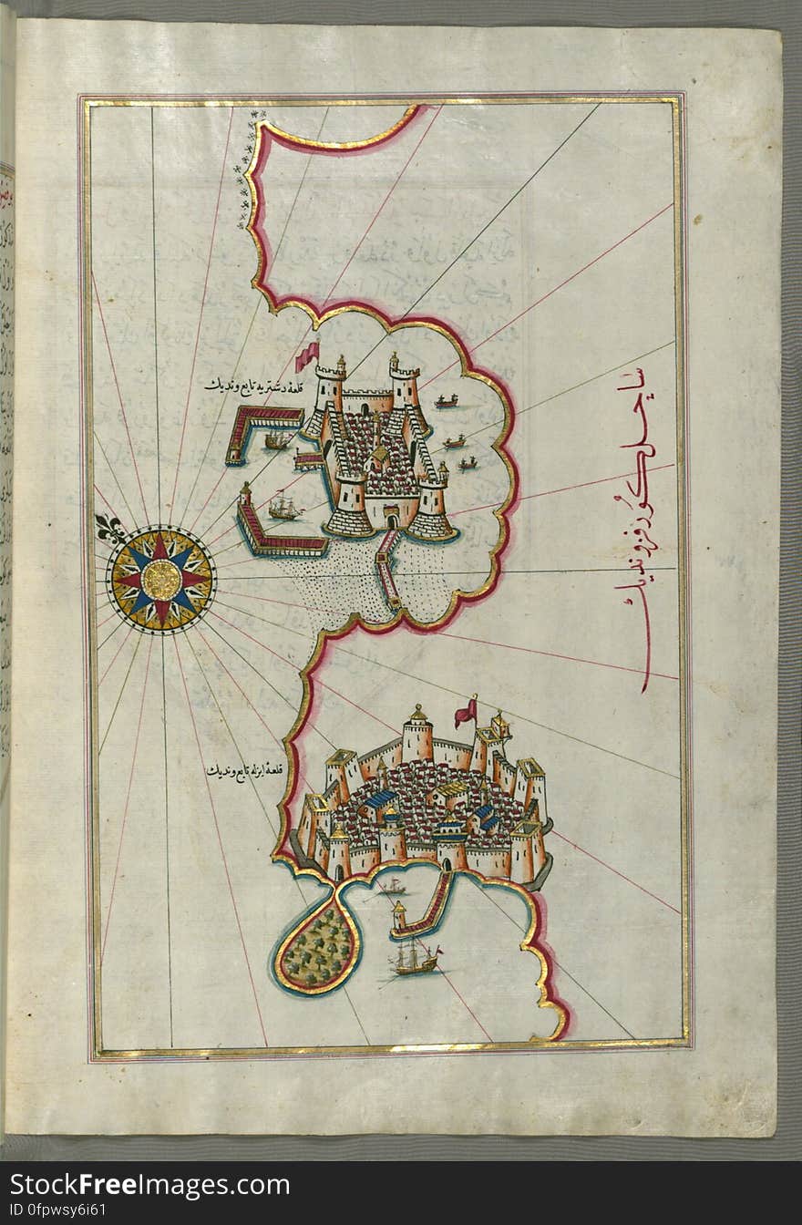
Illuminated Manuscript, Map of the fortress of Trieste (Rishtī) (Italy) from Book on Navigation, Walters Art
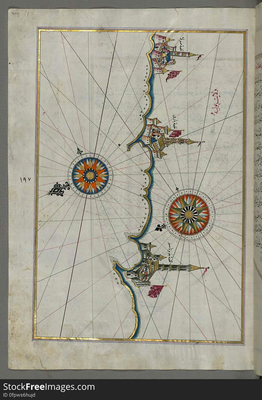
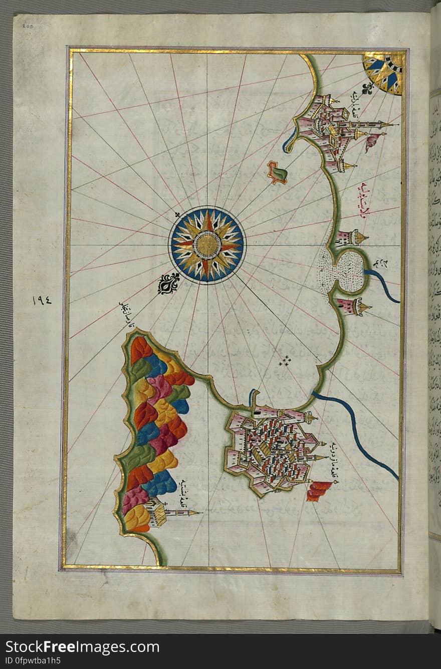
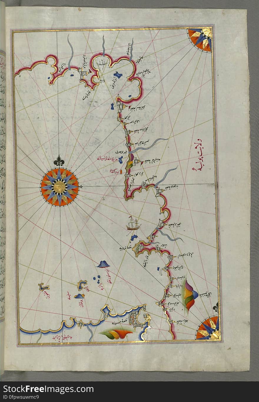
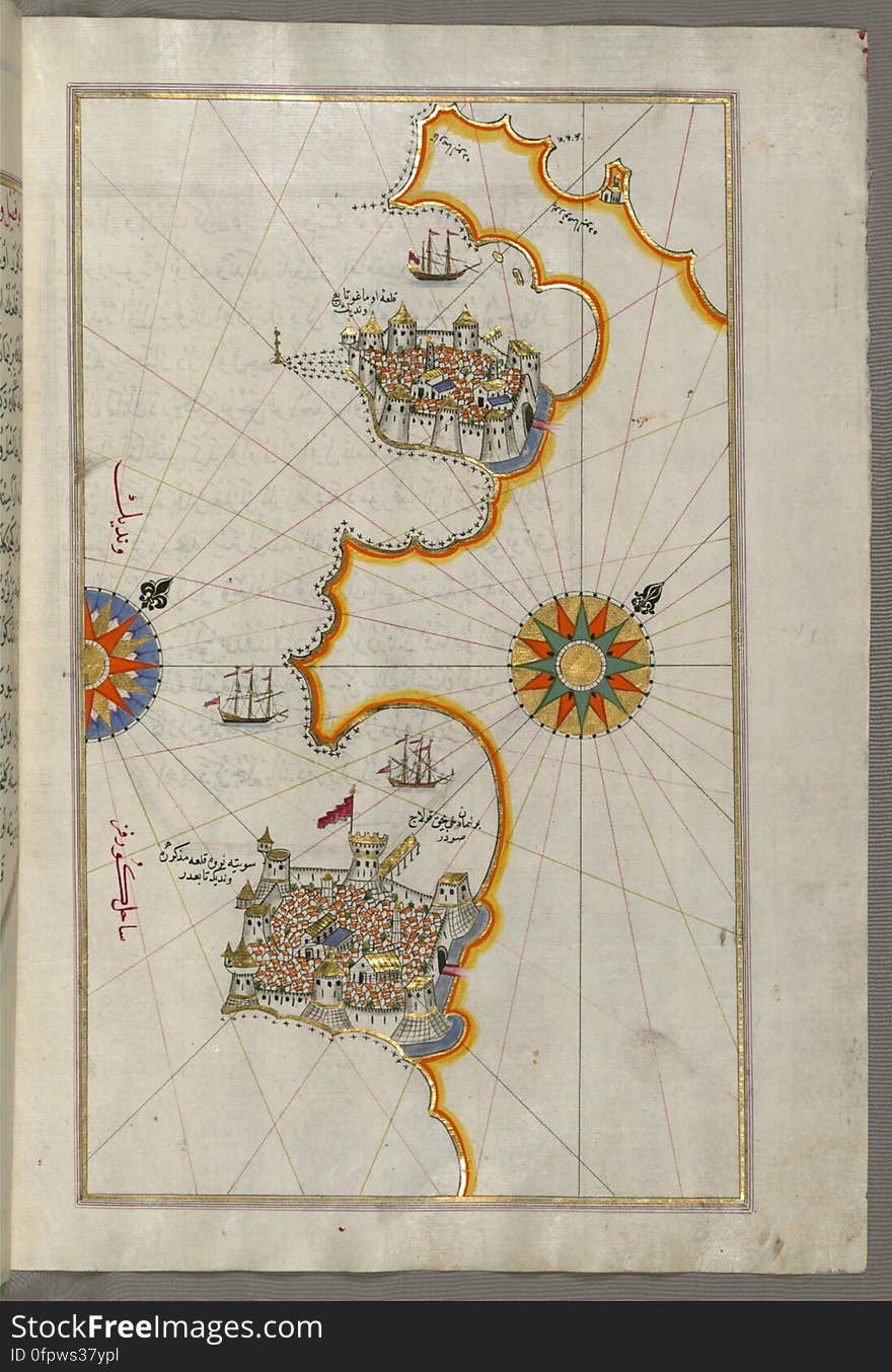
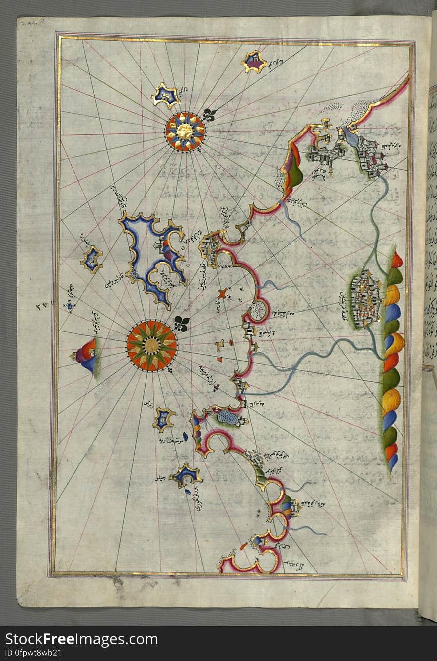
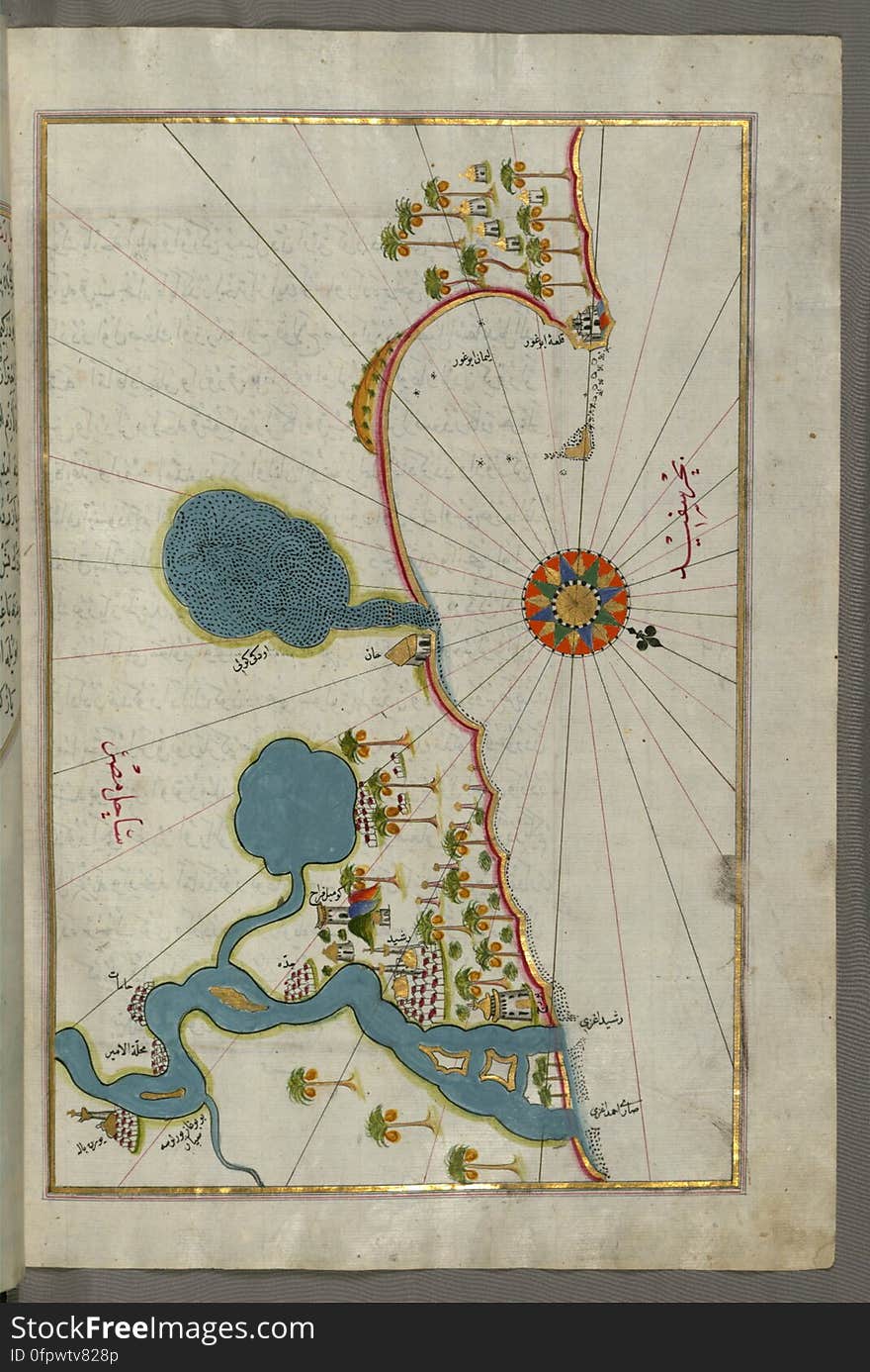
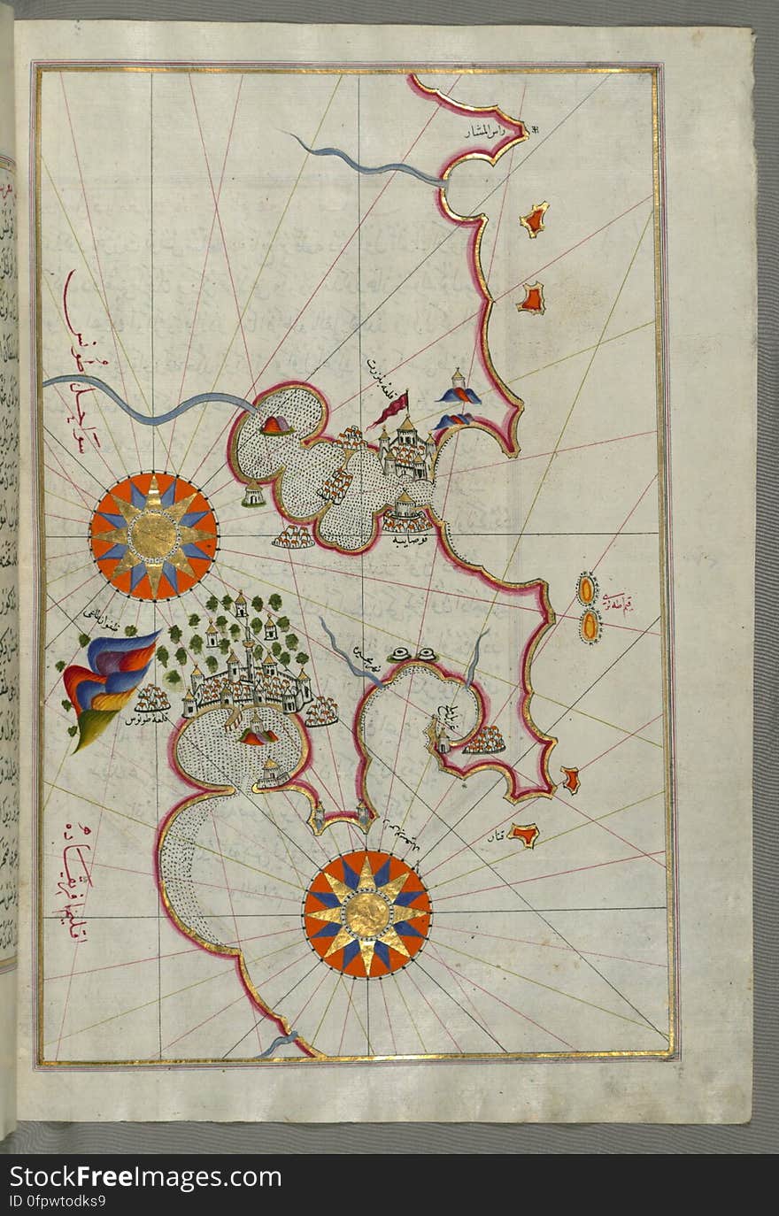
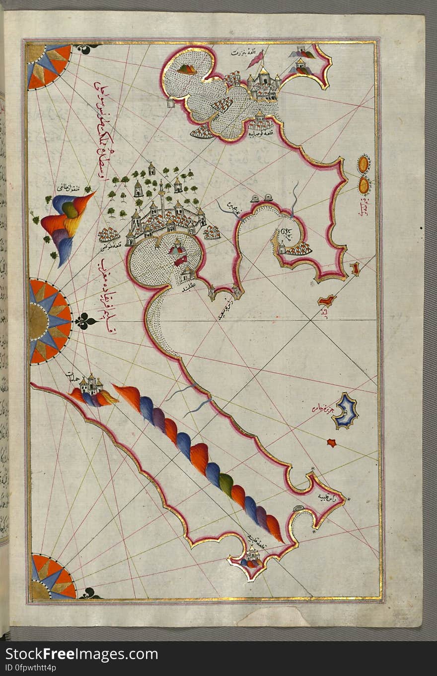
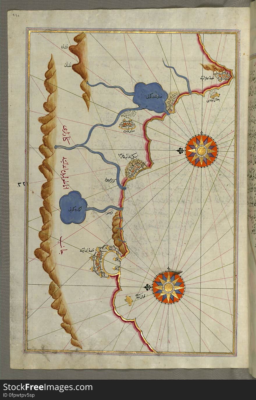
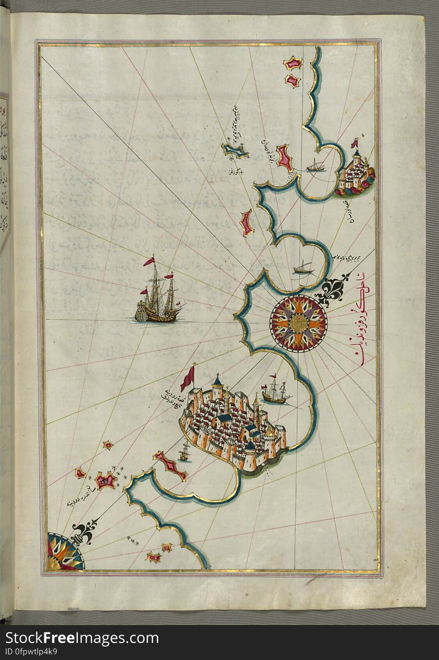
Illuminated Manuscript, Map of the eastern Mediterranean coast and city of Tripoli (Ṭarābulus–i Shām) (Lebano
Illuminated Manuscript, Map of the Algerian coast around Algiers (Jazāʾir) from Book on Navigation, Walters Art Museum
05-24-2021 Portsmouth, Hampshire, UK, Lebanon New Hampshire USA shown on a Geography map or Road map
Lebanon high resolution map with national flag.
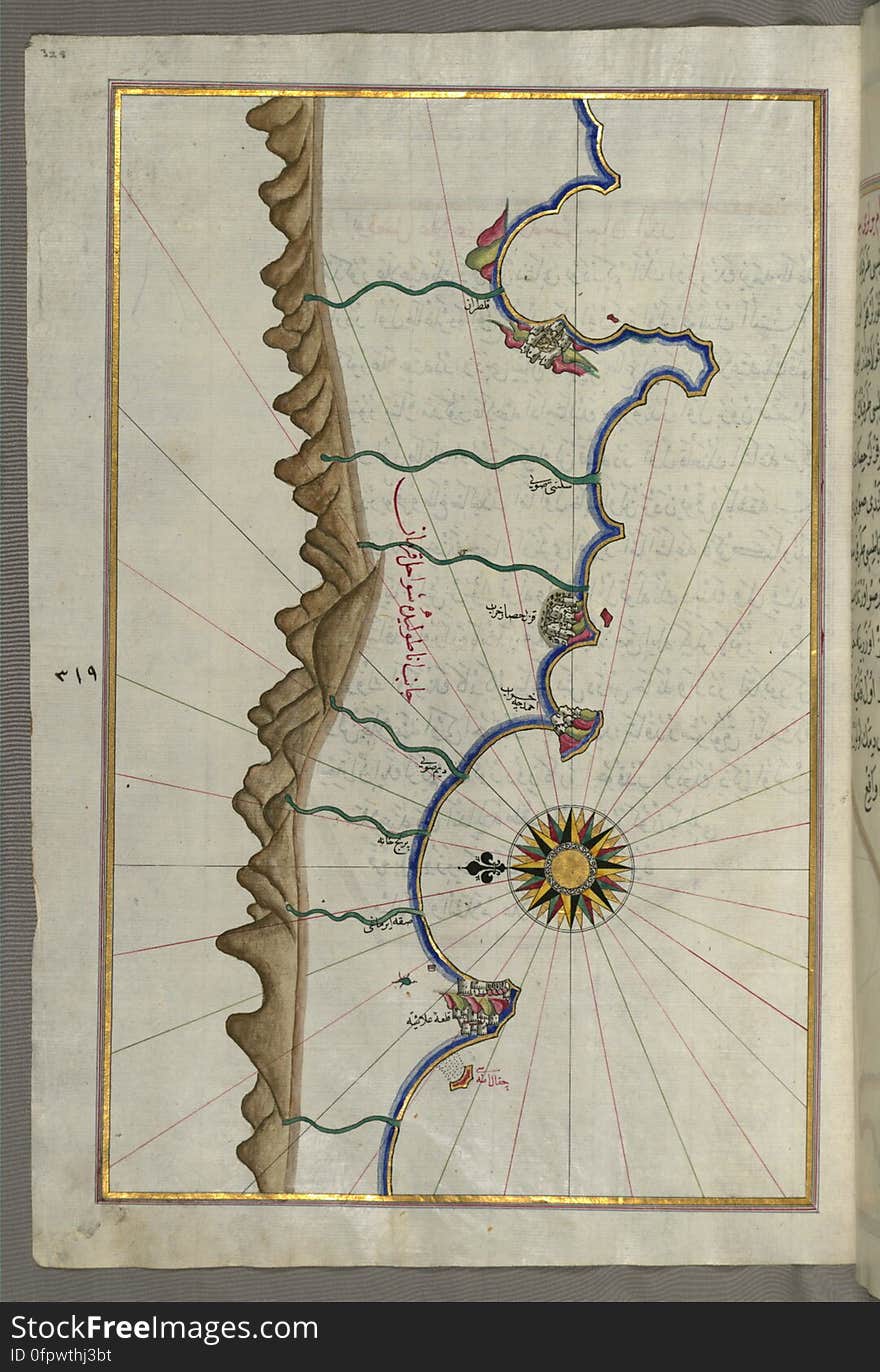
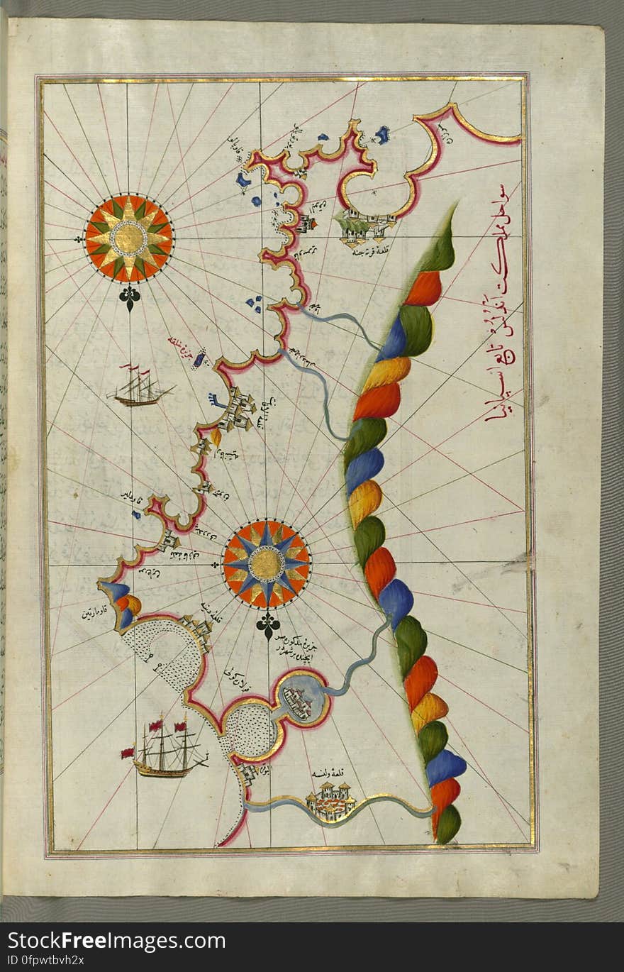
Illuminated Manuscript, Map of the Anatolian coast as far as Alanya (ʿAlāʾiye, Alaiye) from Book on Navigation, Walte
Illuminated Manuscript, Map of the western Italian coast as far as the city of Pisa (Pīze) from Book on Navigation, Wal
puzzle with the national flag of lebanon and turkey on a world map background.
Lebanon country big text with flag inside map concept logo
Detailed Lebanon administrative and political vector map with flag
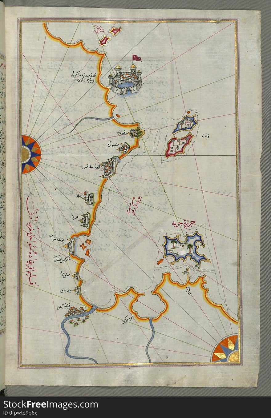
Illuminated Manuscript, Map of the Tunisian coast with the fortress of Mahdīyah and the Island of Jarbah (Jerba) from B
Illuminated Manuscript, Map of fortresses and towns south of Ancona, including Loreto from Book on Navigation, Walters Art Museum
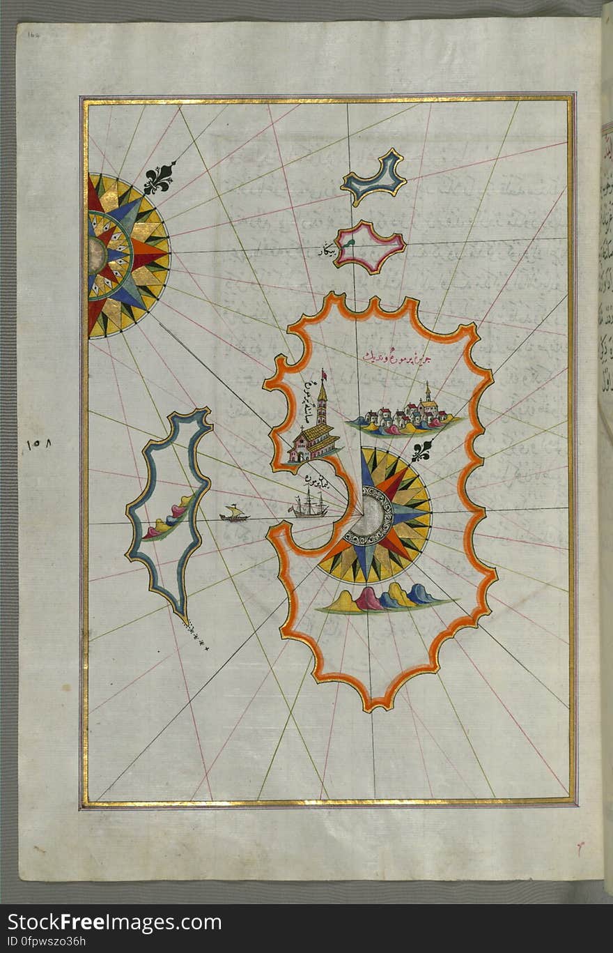
Illuminated Manuscript, Map of Skyros (İskire) island from Book on Navigation, Walters Art Museum Ms. W.658, fol.362b
puzzle with the national flag of lebanon and palestine on a world map background.
Illuminated Manuscript, Map of the Italian coastline from Barletta to Trani from Book on Navigation, Walters Art Museum Ms. W.658
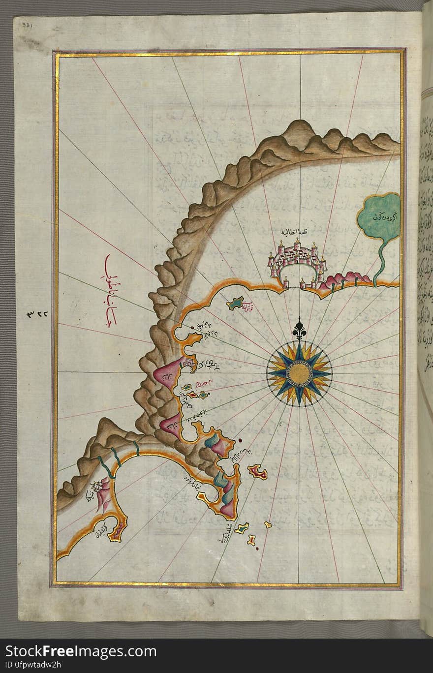
Illuminated Manuscript, Map of the Anatolian coast from Alanya (ʿAlāʾiye Alaiye) to Andalye (Antalya, formerly k
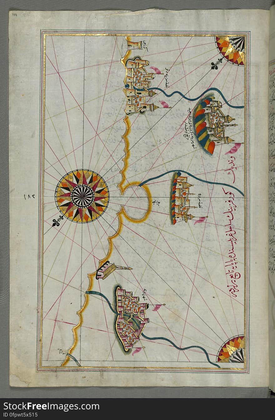
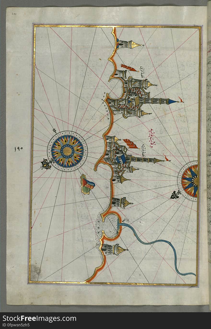
Illuminated Manuscript, Map of the port of Brindisi (Parindīs) from Book on Navigation, Walters Art Museum Ms. W.658, f
Illuminated Manuscript, Map of the Egyptian coast from Alexandria (Iskandarīyah) as far as the city of Rashīd (Ro
Illuminated Manuscript, Map of the western Italian coast as far as Naples (Pūlye Anāpūlīsī)and the island if Ischia
Map of Middle East - Lebanon
Illuminated Manuscript, Map of the Island of Cyprus (Qibrīz, Kıbrıs) from Book on Navigation, Walters Art Museum Ms.
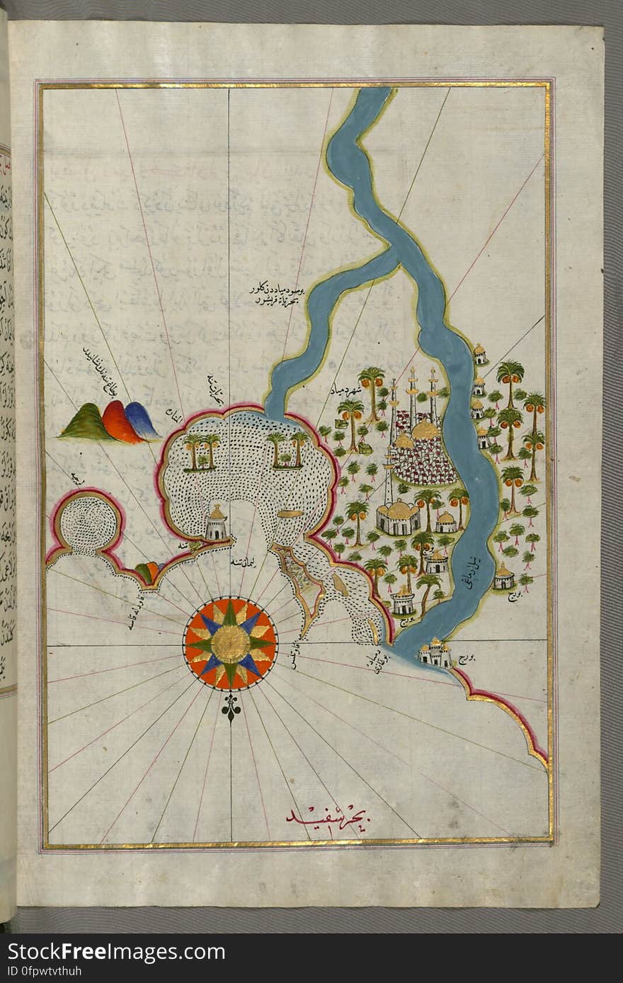
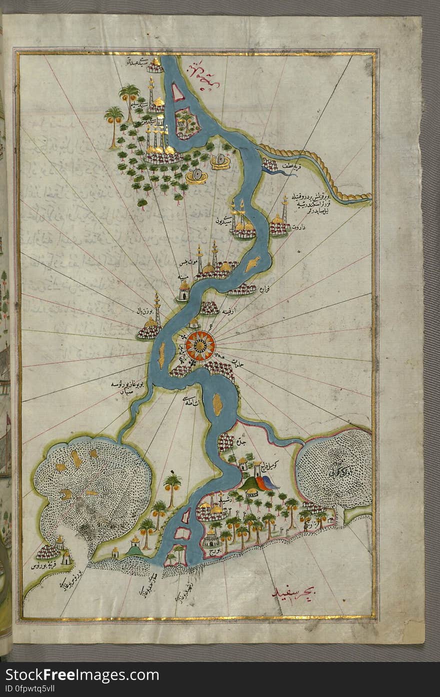
Illuminated Manuscript, Map of towns and oasis along the river Nile beginning with Būlāq (south of Cairo) from Book on
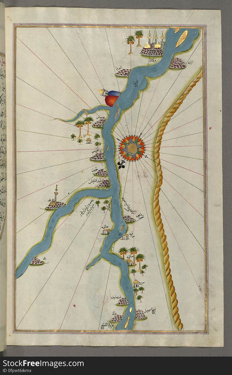
Illuminated Manuscript, Map of the river Nile from its estuary south from Book on Navigation, Walters Art Museum Ms. W.658, fol.30
Illuminated Manuscript, Map of Premuda (Premūde Venedīk) island west off the Pag Island (Croatia) from Book
Illuminated Manuscript, Map of the Southern part of the Calabrian peninsula and the straits of Messina (Mesīne) from Bo
Illuminated Manuscript, Map of the Algerian coast around Ora from Melilla (Malīlah) and northwest of Tlemcen (Tili
Illuminated Manuscript, Map of the coast of Tunisia with the ports of Bizerte (Binzert) and Tunis (Ṭūnūs)
Lebanon physical map
Illuminated Manuscript, Map of The Bay of Corinth from Book on Navigation, Walters Art Museum Ms. W.658, fol.137a
Illuminated Manuscript, Map of the coast of Andalusia from Valencia (Valense) to Cartagena (Qarte Cine) from B
Banner or poster of Lebanon independence day celebration. Lebanon map. Waving flag. Vector illustration.
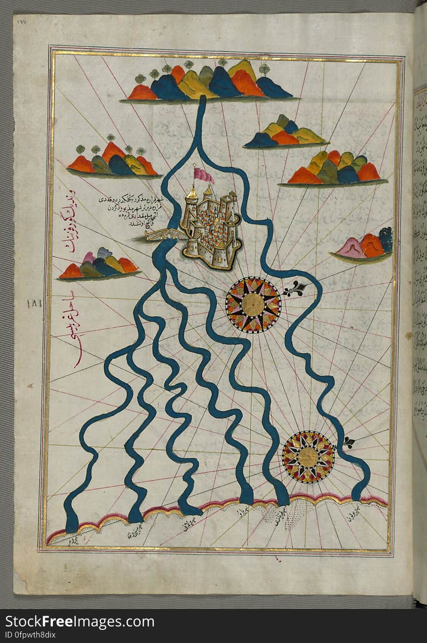
Illuminated Manuscript, Map of the city of Ferrara with the six rivers flowing into the Gulf of Venice from Book on Navigation, Wa
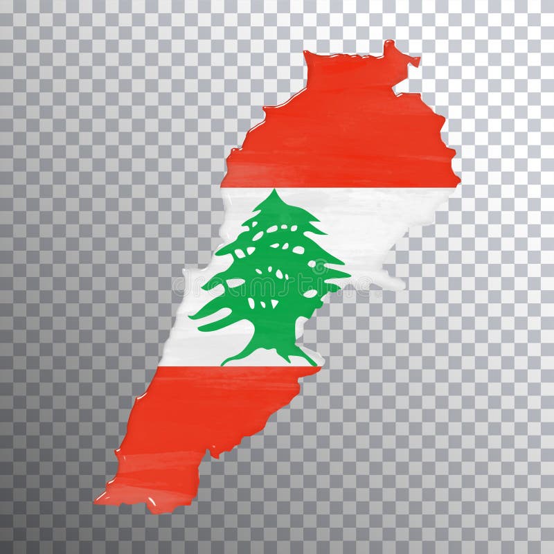
Lebanon flag and map, transparent background
Illuminated Manuscript, Map of the Tunisian coast with the ports of Bizerte (Binzert) and Tunis (Ṭūnūs) as
Illuminated Manuscript, Map of the Moroccan and Algerian coast from Melilla (Malīlah) and northwest of Tlemcen (Ti
Illuminated Manuscript, Map of the western part of the city of Venice (Venedīk) from Book on Navigation, Walters Art Mu
Illuminated Manuscript, Map of the Anatolian coast from Alanya (ʿAlāʾiye Alaiye) to Andalye (Antalya, formerly k
Illuminated Manuscript, Map of the Italian coast south of Ancona as far as the town of Pescara (Beshāre) from Book on N
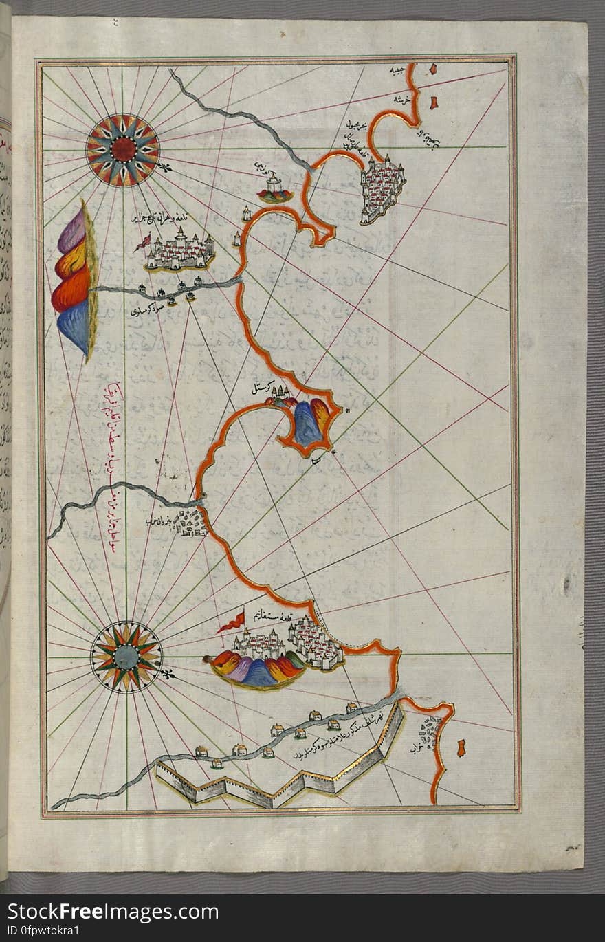
Illuminated Manuscript, Map of the coast of Tripoli (Ṭarābulus) (Libya) from Book on Navigation, Walters Ar
Map of Europe - Lebanon
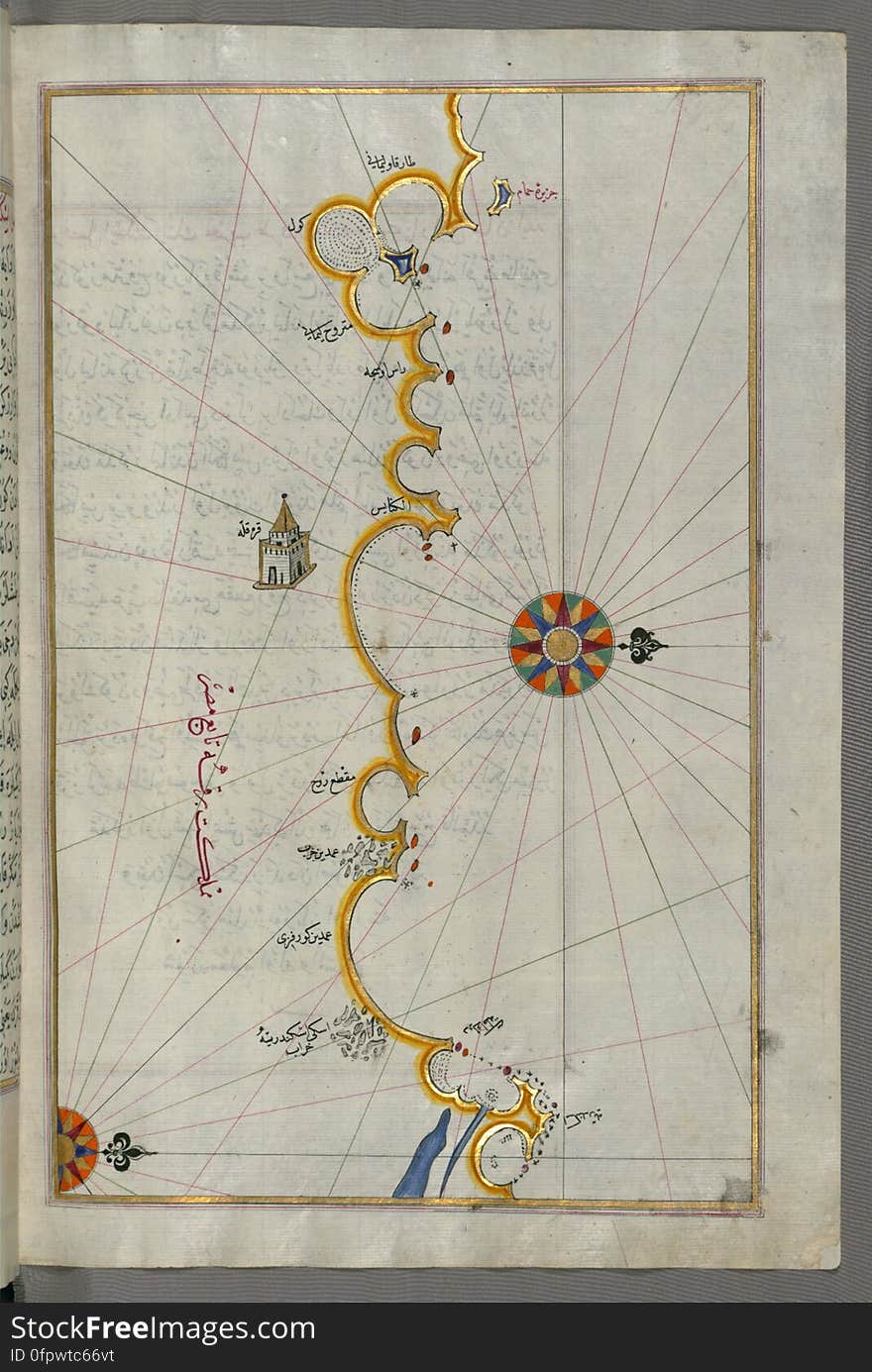
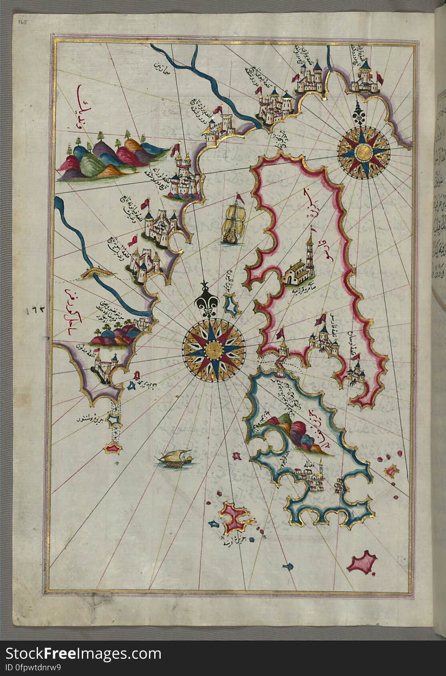
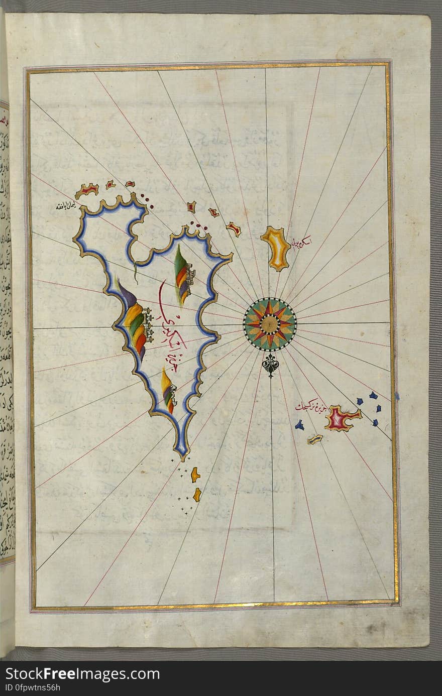
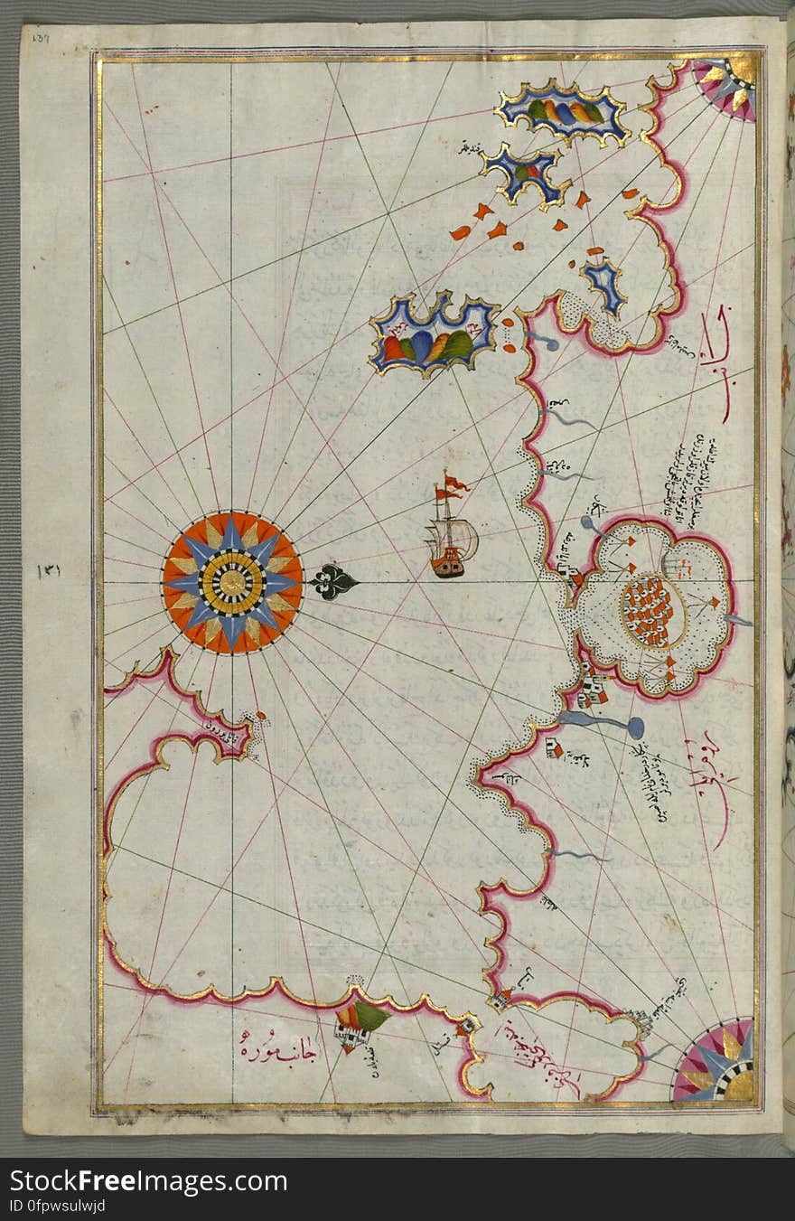
Illuminated Manuscript, Map of the Islands off the shores of Finike (Turkey) from Book on Navigation, Walters Art Museum
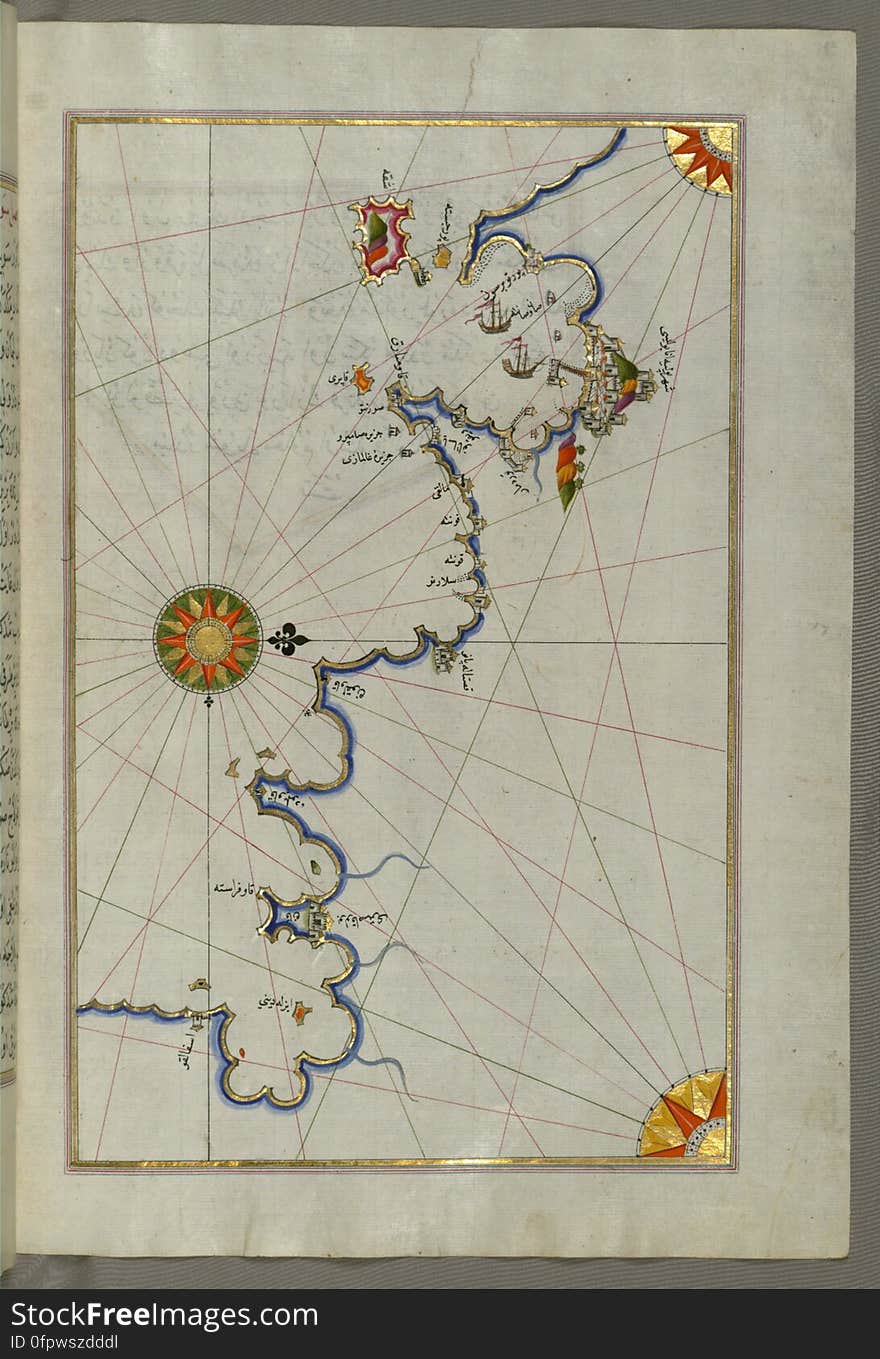
Illuminated Manuscript, Map of the coastline from Rovinj north (Croatia) from Book on Navigation, Walters Art Museum Ms.
Next page
2
/ 7
Home
Search for Lebanon map free images