Browse categories
Log in
Sign up
New York State Map Free Stock Images
Safe search
Include:
RF-LL
Public Domain
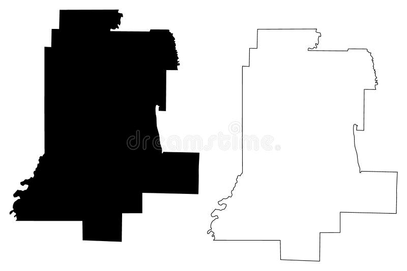
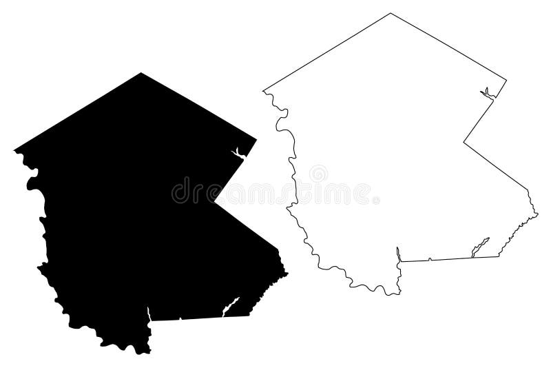
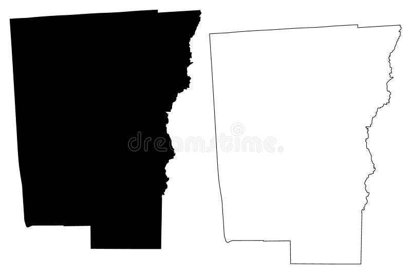
Rensselaer County, New York State U.S. county, United States of America, USA, U.S., US map vector illustration, scribble sketch
Livingston County, New York State U.S. county, United States of America, USA, U.S., US map vector illustration, scribble sketch
New York state counties
Sullivan County, New York State U.S. county, United States of America, USA, U.S., US map vector illustration, scribble sketch
Richmond County, New York State U.S. county, United States of America, USA, U.S., US map vector illustration, scribble sketch
Columbia County, New York State U.S. county, United States of America, USA, U.S., US map vector illustration, scribble sketch
Schoharie County, New York State U.S. county, United States of America, USA, U.S., US map vector illustration, scribble sketch
Cattaraugus County, New York State U.S. county, United States of America, USA, U.S., US map vector illustration, scribble sketch
Montgomery County, New York State U.S. county, United States of America, USA, U.S., US map vector illustration, scribble sketch
Jefferson County, New York State U.S. county, United States of America, USA, U.S., US map vector illustration, scribble sketch
New York outline map set
Chenango County, New York State U.S. county, United States of America, USA, U.S., US map vector illustration, scribble sketch
Schenectady County, New York State U.S. county, United States of America, USA, U.S., US map vector illustration, scribble sketch
New York, state of Mainland United States, zoomed. Relief
New York state political map
Next page
4
/ 10
Home
Search for New york state map free images