Browse categories
Log in
Sign up
Physical Map Europe Free Stock Images
Safe search
Include:
RF-LL
Public Domain
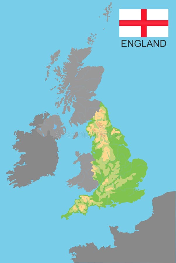
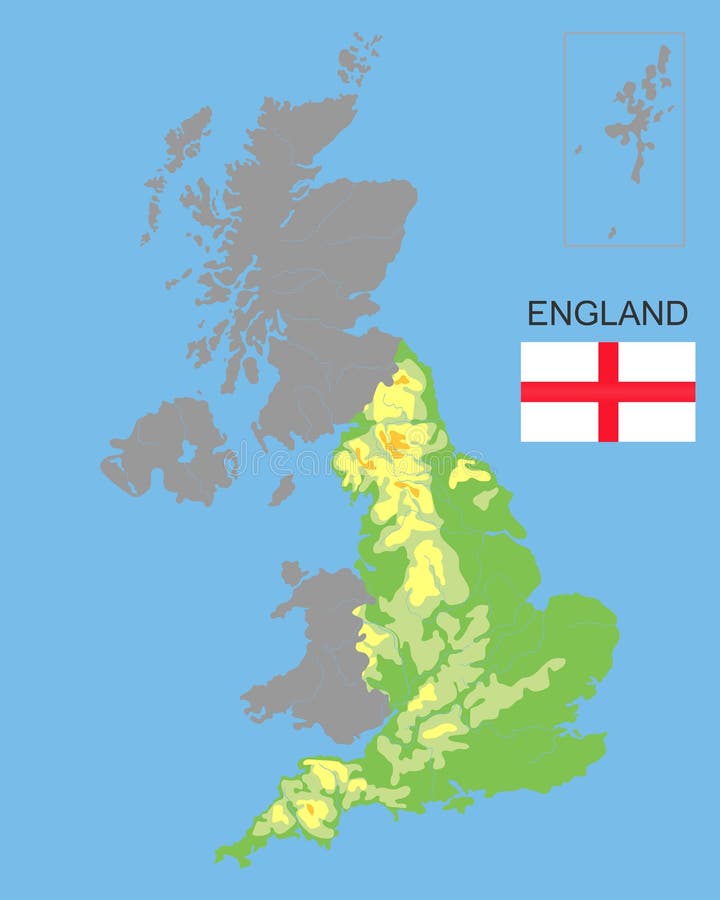
England. England is part of the UK bordered by Ireland and France. Detailed physical map of country colored according to
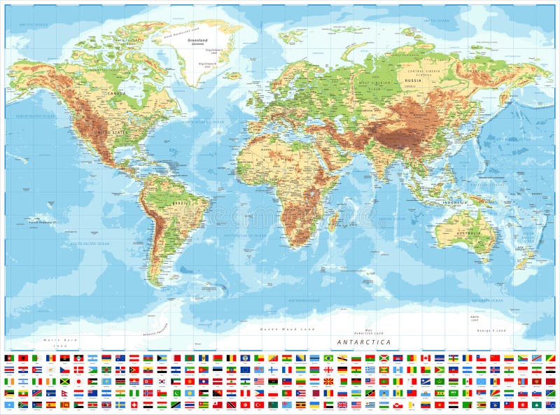
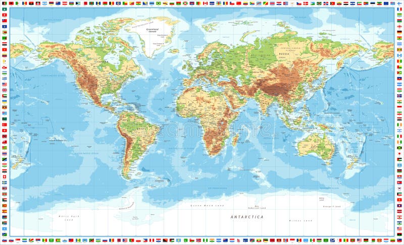
World Map and Flags - Physical Topographic - Vector Detailed Illustration
Large detailed topographic map of Germany with contours, lakes, mountains. Physical vector map with national flag.
Cyprus Physical Map
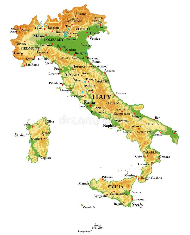
Physical map of Italy
Athletes rush to the checkpoint on the trail through forest
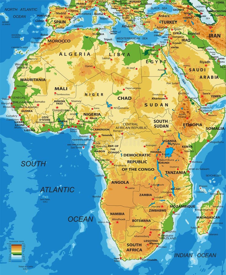
Africa-physical map
World map both hemispheres on one sheet
England is part of the UK. Bordered by northern ireland, Wales and Scotland. Detailed physical map of country colored according to
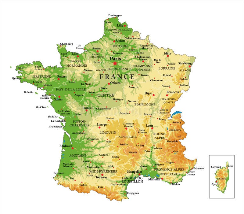
France physical map
Austria Physical Map Vintage Colors. No Text
World Map and Flags - Physical Topographic - Vector Detailed Illustration
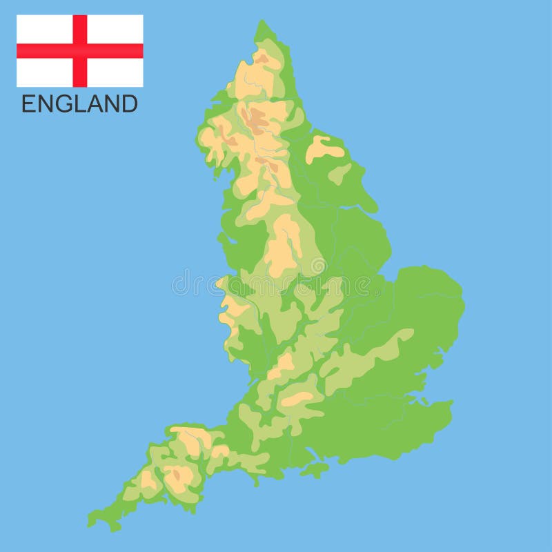
England. Detailed physical map of England colored according to elevation, with rivers, lakes, mountains. Vector map with
World Map and Flags - Physical Topographic - Detailed Illustration
World Map and Flags - Pacific View - Physical Topographic - Vector Detailed Illustration
Next page
7
/ 26
Home
Search for Physical map europe free images