Browse categories
Log in
Sign up
Start your 1 week Free Trial!
Get 10 images for free
Free images "physical map ireland" are missing. Here are a few alternate suggestions:
Safe search
Include:
RF-LL
Public Domain
Sponsored images by
Dreamstime
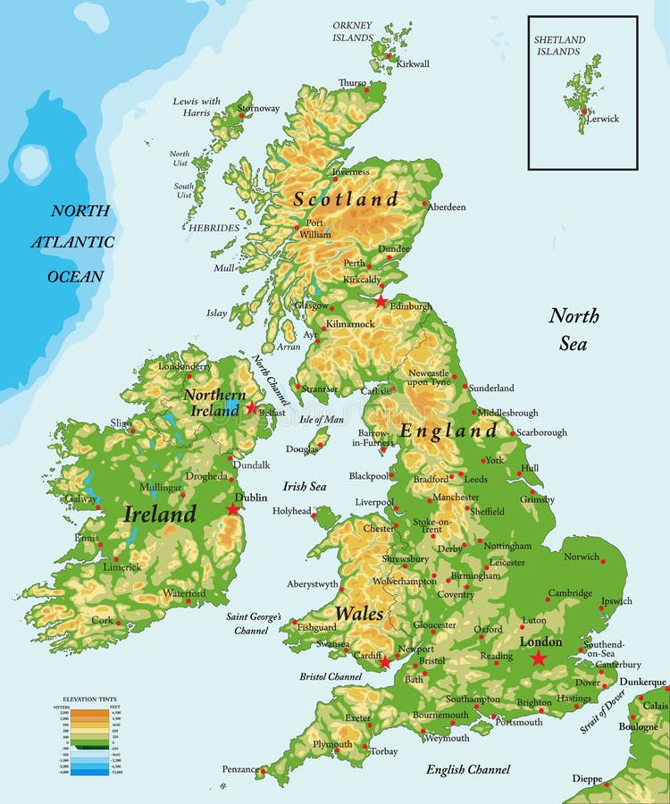
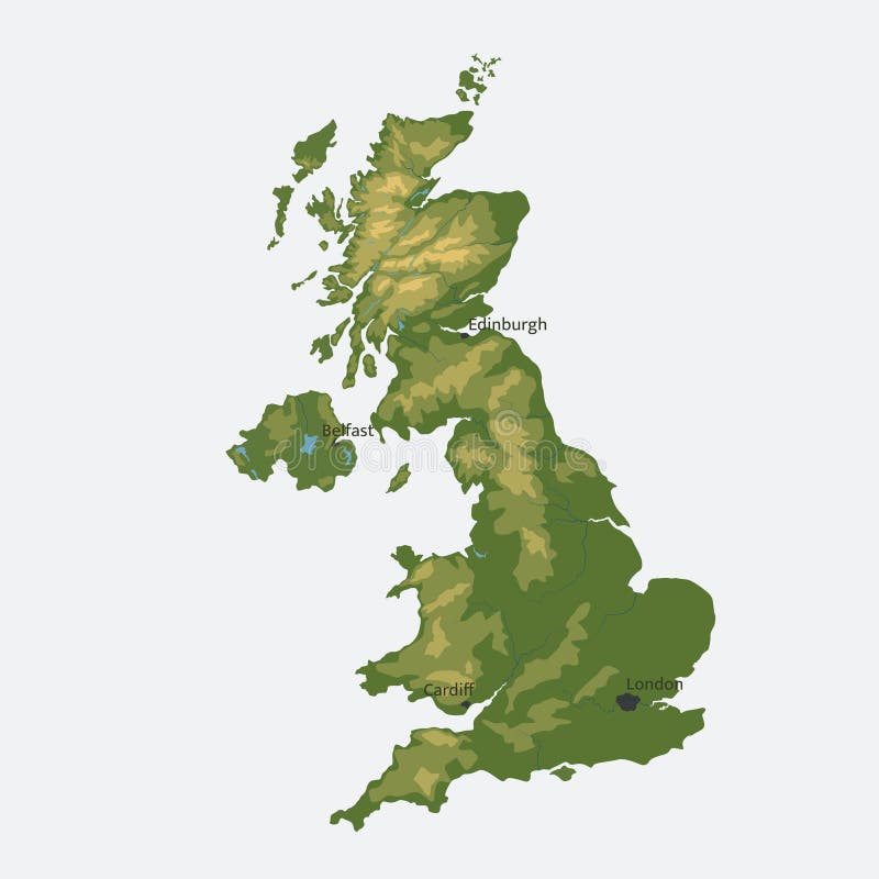
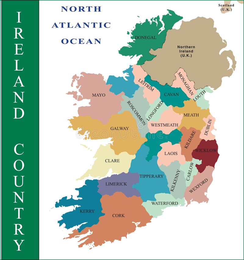
United Kingdom and Ireland-physical map
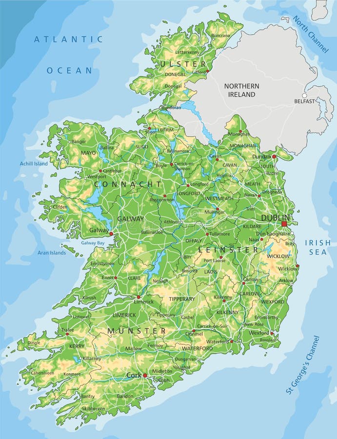
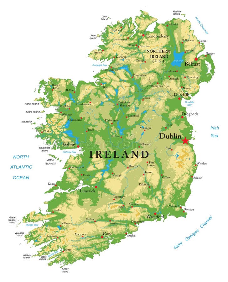
High detailed Ireland physical map with labeling.
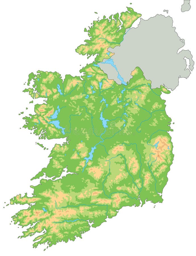
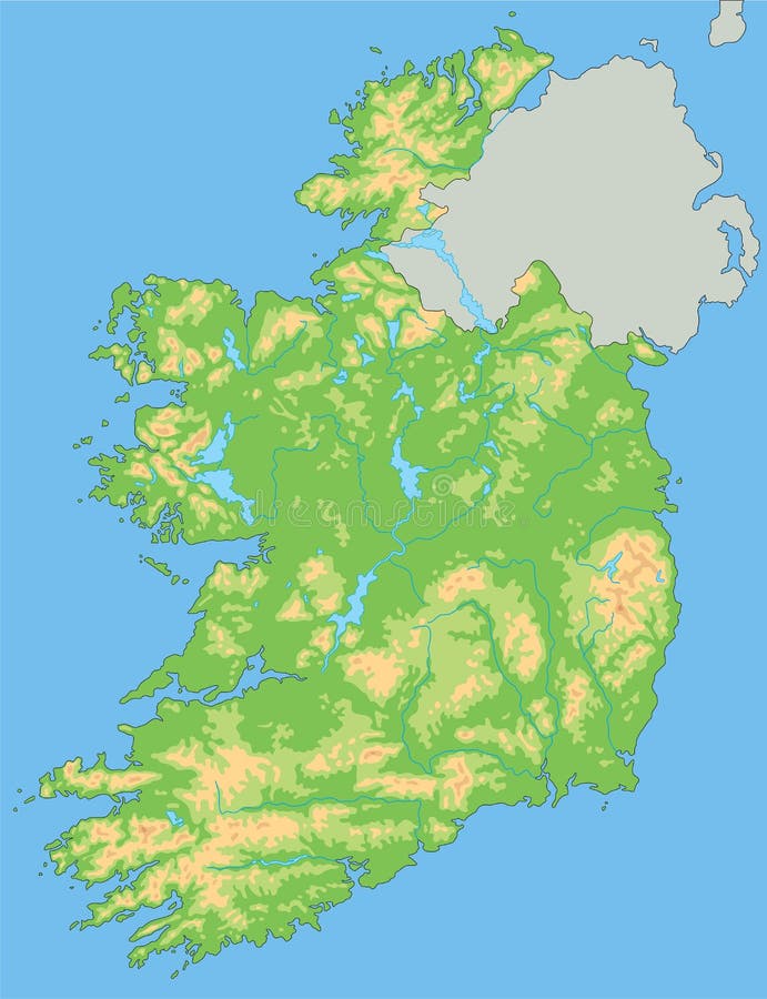
High detailed Ireland physical map.
High detailed Ireland physical map with labeling.
High detailed Ireland physical map.
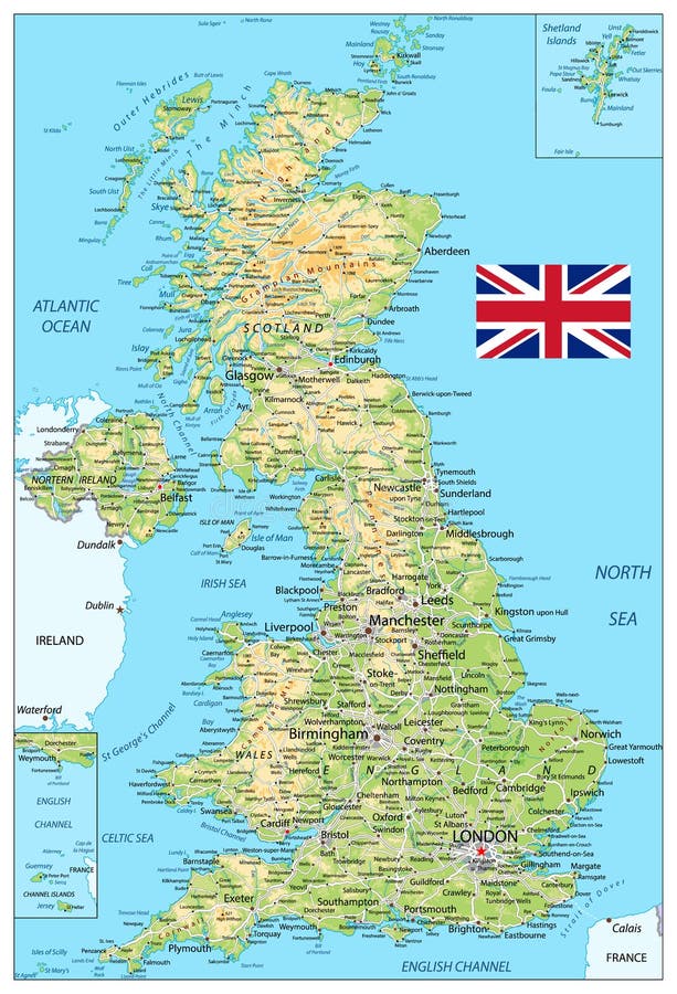
United Kingdom of Great Britain and Northern Ireland vector map. color physical map
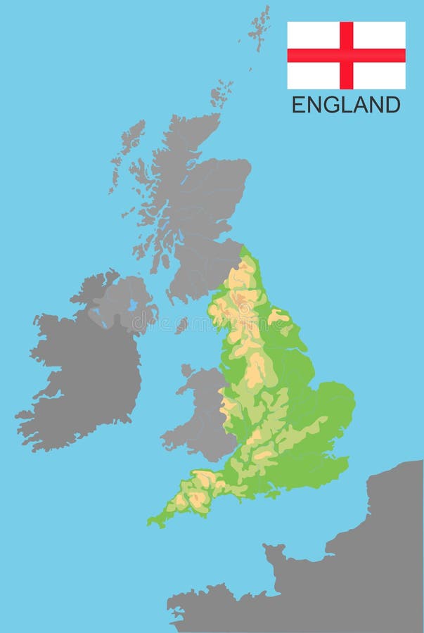
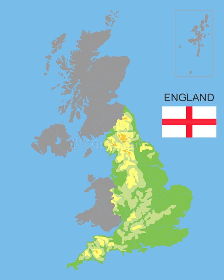
England. England is part of the UK bordered by Ireland and France. Detailed physical map of country colored according to
England is part of the UK. Bordered by northern ireland, Wales and Scotland. Detailed physical map of country colored according to
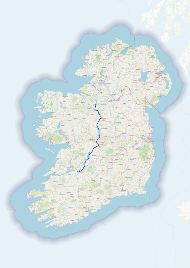
Ireland highly detailed physical map
Physical map of the country of Ireland colored
Ireland - physical. Neighborhood, outline
United Kingdom physical map
Color map of Great Britain and Ireland
Ireland map.
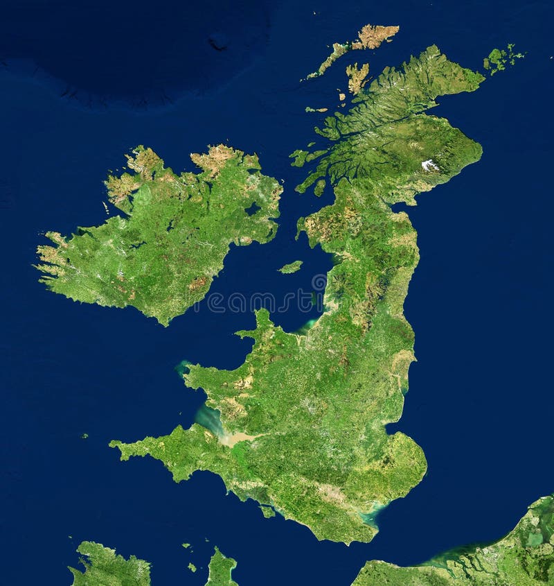
UK map in satellite photo, England terrain view from space
1
/ 1
Home
Search for Physical map ireland free images