Browse categories
Log in
Sign up
Provinces Free Stock Images
Related searches:
clip art canada
Safe search
Include:
RF-LL
Public Domain
Sponsored images by
Dreamstime
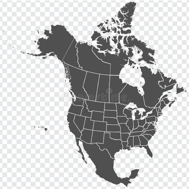
Map of North America. Detailed map of North America with States of the USA and Provinces of Canada. Template.
Map of Europe divided into states and provinces. European political map
Canada All Provinces & Territories Flag Vector Illustration on White Background. Flags of Canada
Thirteen Maps Provinces of Canada - alphabetical order with name. Every single map of Province are listed and isolated with word
USA and Canada large detailed political map with states, provinces and capital cities
Canadian map with short provinces and territories names. Canada background. Vector illustration
South Africa map
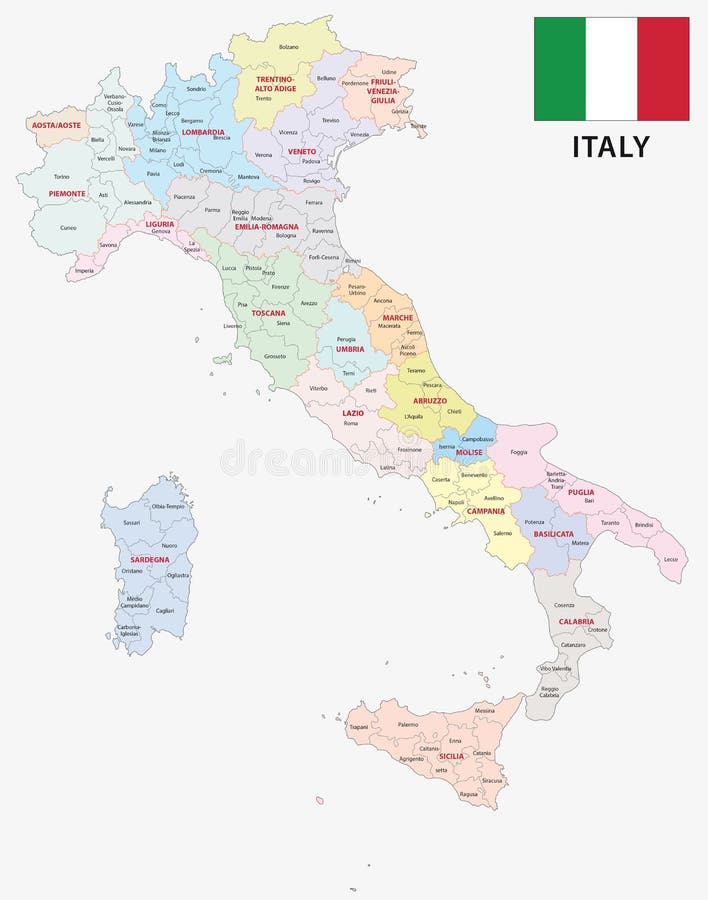
Italy administrative and political map with flag
Spain map with provinces
Uk provinces maps
Portugal provinces maps
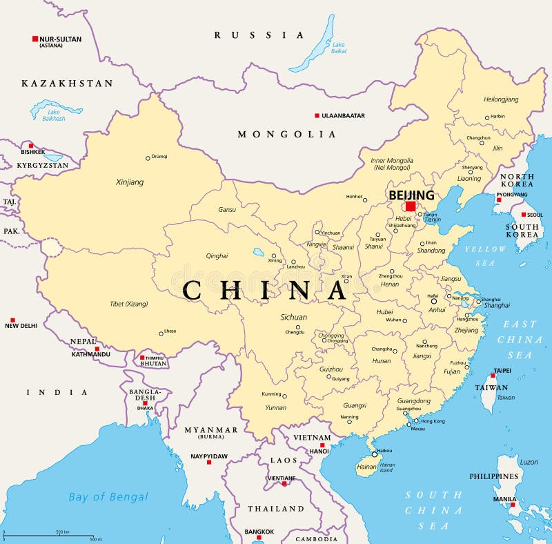
China, political map, provinces, and administrative divisions
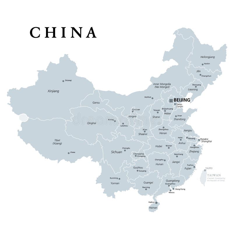
China, gray political map, provinces, administrative divisions
Spain provinces maps
Bulgaria provinces maps
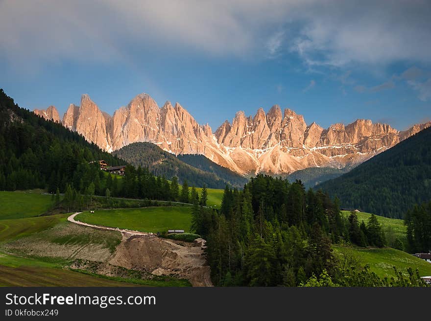
The Dolomites, northern Italy
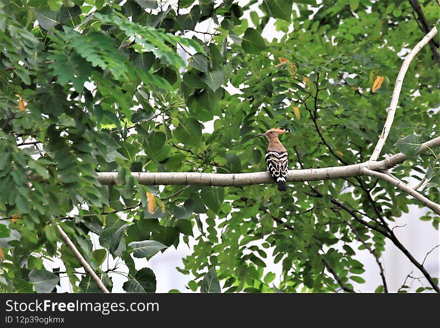
A hoopoe is standing on a branch.
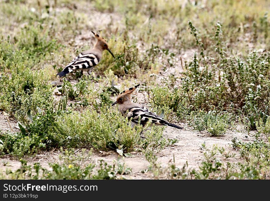
Two hoopoes swaying on ground and searching food.
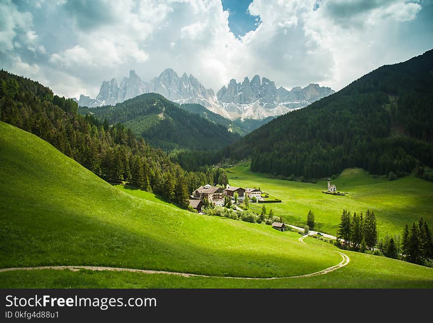
The Dolomites, northern Italy
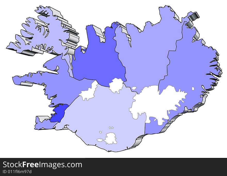
Map of Iceland
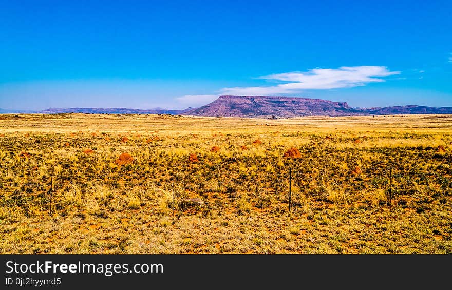
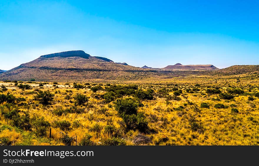
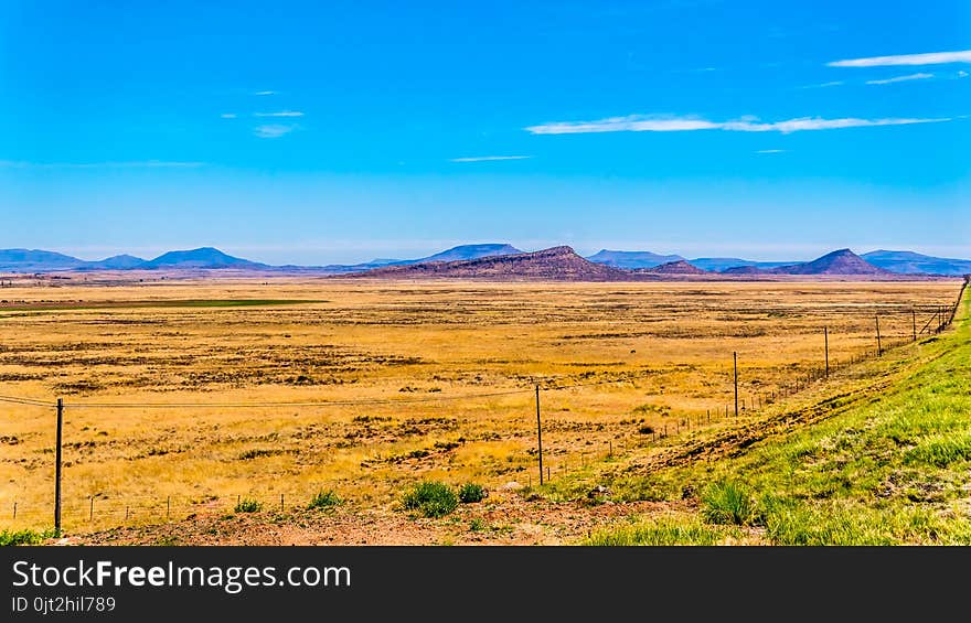
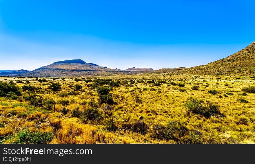
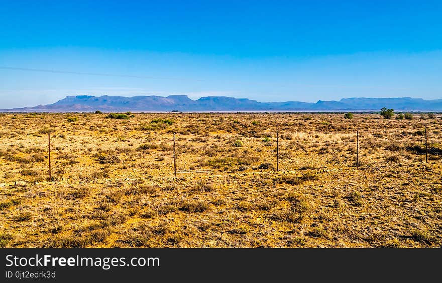
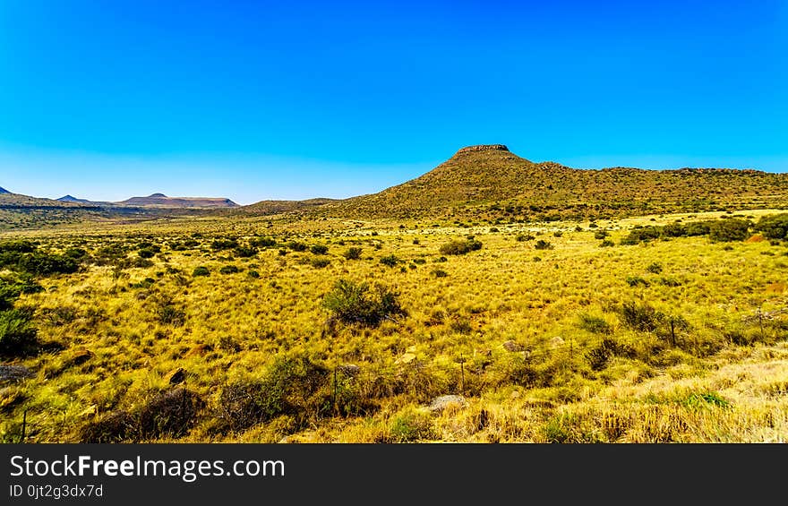
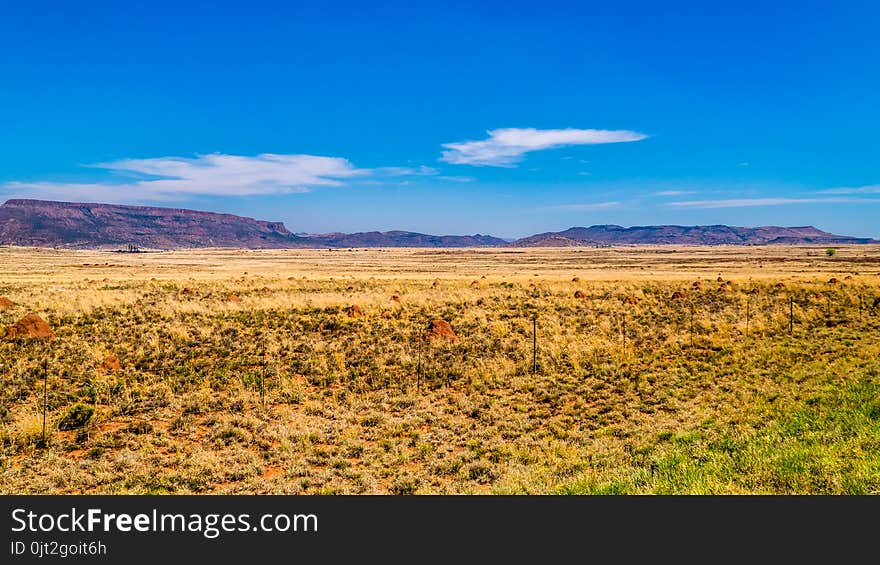
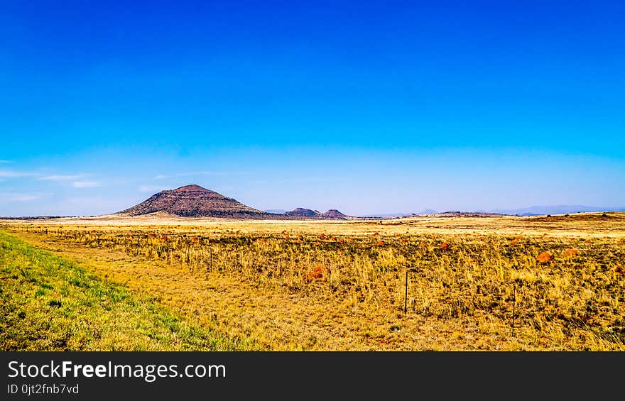
Endless wide open landscape of the semi desert Karoo Region in Free State and Eastern Cape
Landscape of the semi desert Karoo Region in Free State and Eastern Cape
Endless wide open landscape of the semi desert Karoo Region in Free State and Eastern Cape
Endless wide open landscape of the semi desert Karoo Region in Free State and Eastern Cape
Endless wide open landscape of the semi desert Karoo Region in Free State and Eastern Cape
Endless wide open landscape of the semi desert Karoo Region in Free State and Eastern Cape
Endless wide open landscape of the semi desert Karoo Region in Free State and Eastern Cape
Endless wide open landscape of the semi desert Karoo Region in Free State and Eastern Cape
The 4th China university art show
Next page
1
/ 93
Home
Search for Provinces free images