Browse categories
Log in
Sign up
World Map Cities Free Stock Images
Safe search
Include:
RF-LL
Public Domain
World Net
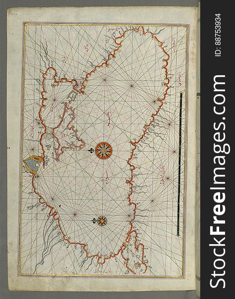
Illuminated Manuscript, Map of the Anatolian coast around Anamur (Turkey) from Book on Navigation, Walters Art Museum Ms
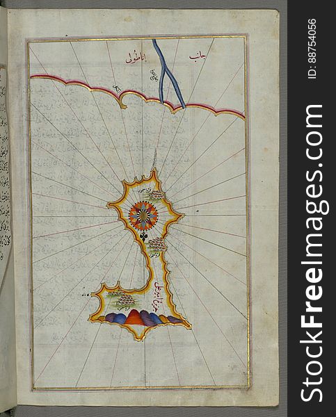
Illuminated Manuscript, Map of the island of Mīr ʿAlī from Book on Navigation, Walters Art Museum Ms. W.658, fol.369b
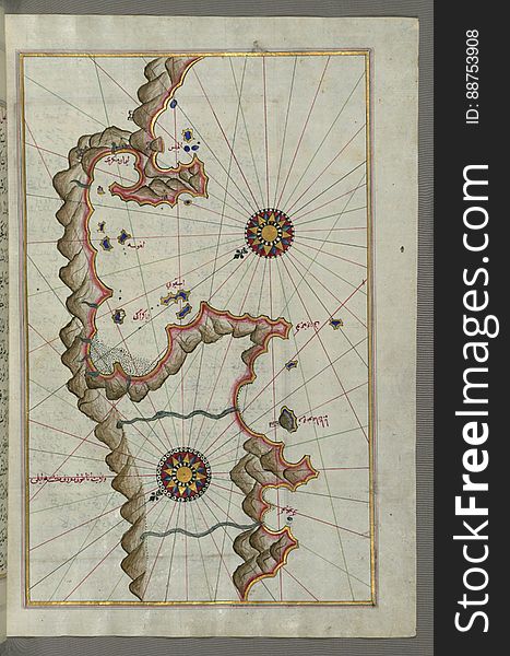
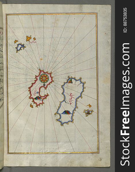
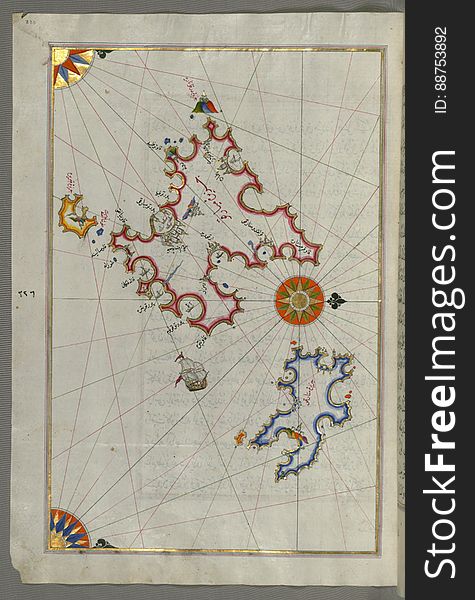
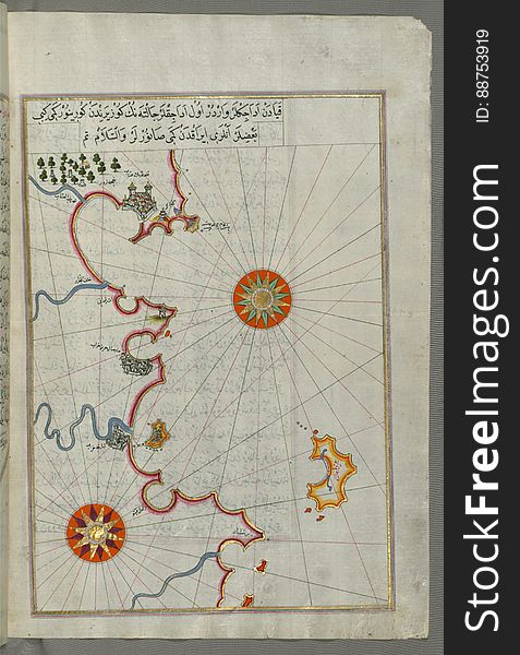
Illuminated Manuscript, Map of unidentified islands off the southern Anatolian coast from Book on Navigation, Walters Art Museum
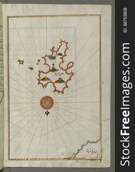
Illuminated Manuscript, Map of Kythnos (Termia) island from Book on Navigation, Walters Art Museum Ms. W.658, fol.360b
The detailed map of the Romania with regions or states and cities, capital. Administrative division.
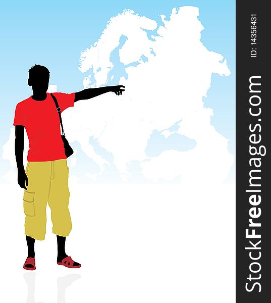
Masculine silhouettes on a background the map
A Red Pin on Somalia of the World Map
3D map blue of the world on white background
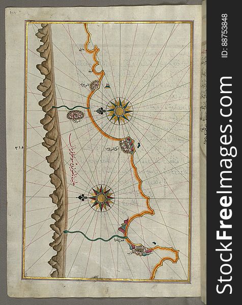
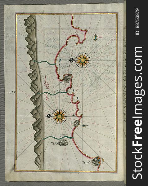
Illuminated Manuscript, Map of the Anatolian coast from Silfke to Anamur from Book on Navigation, Walters Art Museum Ms. W.658, fo
Geographic map of US city Philadelphia and other important cities
Illuminated Manuscript, Map of the Black Sea coastline from Book on Navigation, Walters Art Museum Ms. W.658, fol.373a
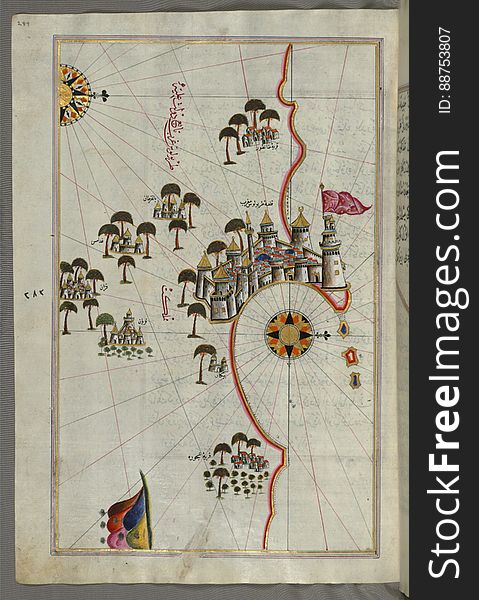
Illuminated Manuscript, Map of the fortress of Tripoli (Ṭarābulus-i Maghrib) and the surrounding area from Book on Na
Illuminated Manuscript, Map of the Aloneses (Čamlığa) from Book on Navigation, Walters Art Museum Ms. W.658, fol.364b
Europe map
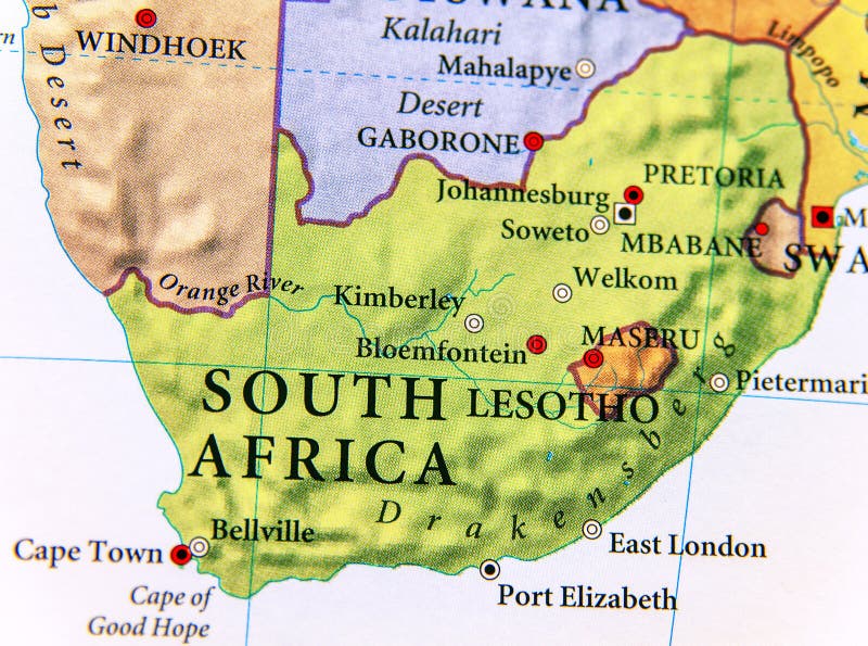
Geographic map of South Africa with important cities
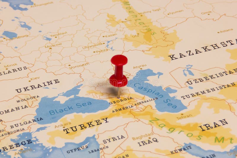
A Red Pin on Georgia of the World Map
Geographic map of US state Mississippi with important cities
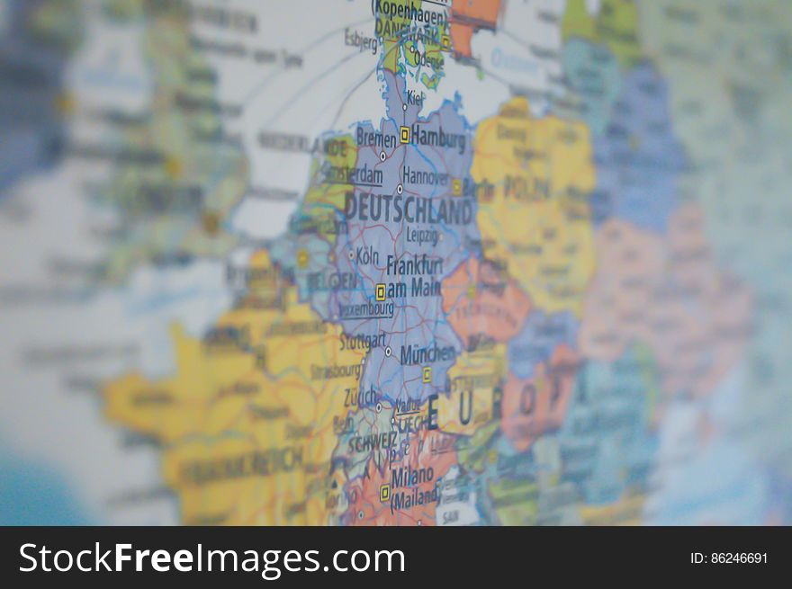
Map of Germany
A Red Pin on Georgia of the World Map
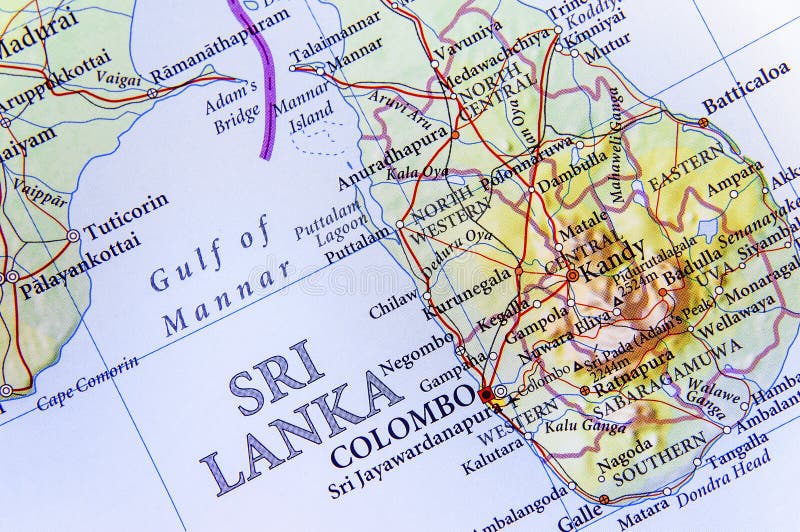
Geographic map of Sri Lanka with important cities
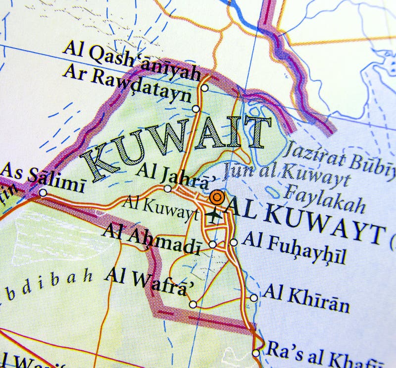
Geographic map of Kuwait with important cities
Illuminated Manuscript, Map of Keos (Kea, Murtat, Mürted) island from Book on Navigation, Walters Art Museum Ms. W.658
Illuminated Manuscript, Map of the Islands of Mojorca (Miyārqū)and Minorca (Minārqū) from Book on Navigati
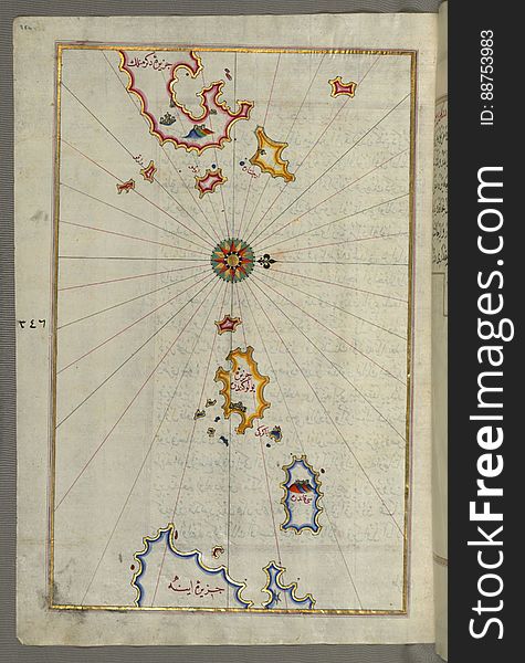
Illuminated Manuscript, Map of the islands Foleġandros and Melos (Deġirmenlik) from Book on Navigation, Walters Art Mu
Illuminated Manuscript, Map of two islands: Santorini (Ṣāntūrūn) and Thera (Thira) in the Aegean Sea, nor
Vector maps set. High detailed 45 maps of European countries with administrative division and cities. Political map, map of
Eco World Map Design
Many locations marked with pins on world map, global communication network
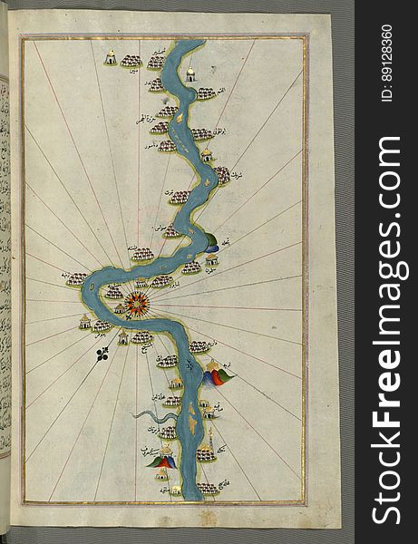
Illuminated Manuscript, Map of the Nile River with various oases on each as far as Sīdī Maʿrūf from Book on Navigation, Walte
Illuminated Manuscript, Map of the Algerian and Tunisian coast from Annaba (Bilād al-ʿUnnāb) to Tabarka (Tabāra
Two masculine silhouettes on a background the map
Illuminated Manuscript, Map of the coast line of the Black Sea from Book on Navigation, Walters Art Museum Ms. W.658, fol.371b
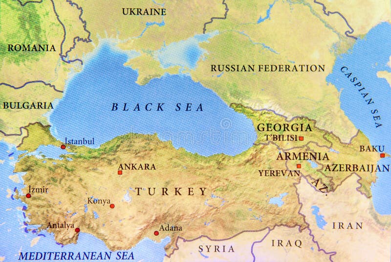
Geographic map of Turkey with important cities and Black sea
Geographic map of Sri Lanka with important cities
Masculine silhouette on a background the map
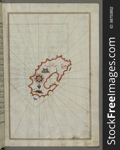
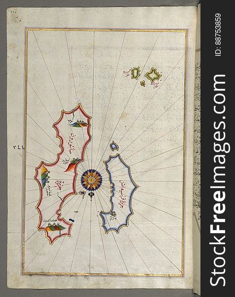
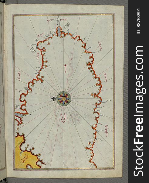
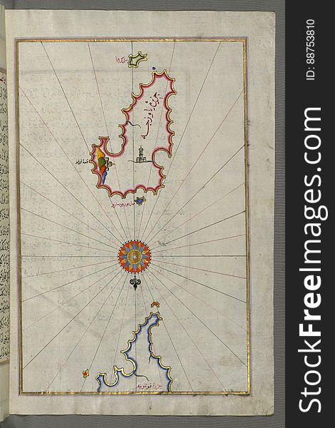
Illuminated Manuscript, Map from Book on Navigation, Walters Art Museum Ms. W.658, fol.358b
Next page
6
/ 11
Home
Search for World map cities free images